Aktivitäten
Top-Sportarten
Laufen
Radfahren
Spazieren gehen
Wandern
Laufen
Radfahren
Features
Karten
Herausforderungen
Mitgliedschaft
Anmelden
Kostenlos beitreten
Beitreten
Startseite
Aktivitäten
Laufen
Radfahren
Spazieren gehen
Wandern
Features
Karten
Herausforderungen
Mitgliedschaft
Support
Beitreten
Anmelden
Hol dir die App
+ 148
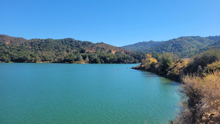
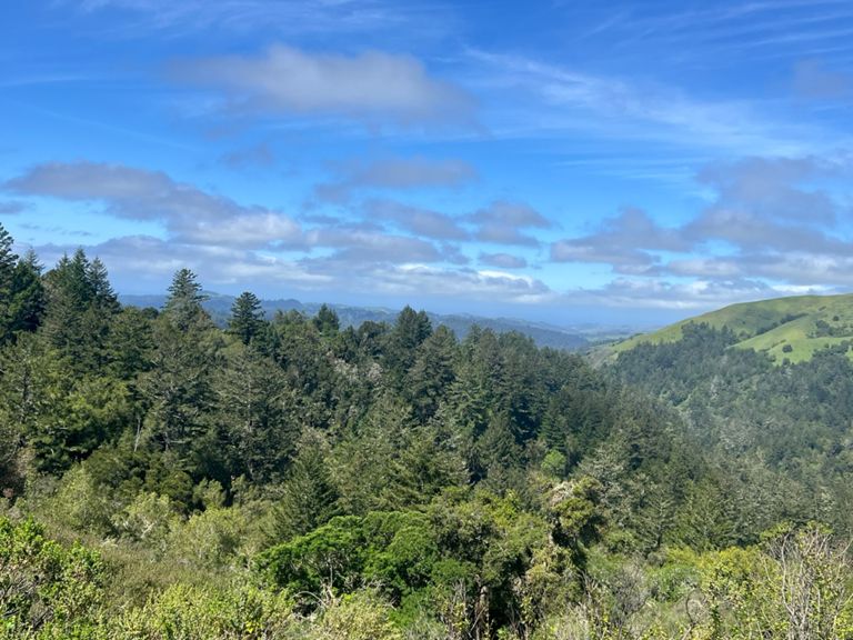
11/19 A ride
Radroute
Speichern
Teilen
Details
59,43 mi
5.878 ft
Erstellt von
Logan A
17. November 2023
·
Öffentlich
Route und Höhe
Segmente
Name
Distanz
Höhenunterschied
Steigung
Dish entrance to Page Mill
0,35 mi
-13 ft
-0,5 %
Old Page Mill Road
0,83 mi
69 ft
1,2 %
Ride start Old PM to top Arastradero Pastures
2,65 mi
322 ft
2,3 %
Arastradero (Page Mill to Alpine)
1,96 mi
207 ft
1,3 %
Arastradero-last two bumps
0,32 mi
95 ft
5,5 %
Woodland to Juan Bautista
0,24 mi
-39 ft
-2,6 %
Arastradero -- Page to Alpine Descent Only
0,60 mi
-72 ft
-2,3 %
Arastradero to Los Trancos
0,53 mi
82 ft
2,9 %
Portola Rd bump to WB
0,23 mi
20 ft
1,4 %
Old La Honda (Bridge to Mailboxes)
3,13 mi
1.276 ft
7,8 %
Old La Honda - 1st Half
1,68 mi
659 ft
7,4 %
Old La Honda - Mile 1
0,99 mi
371 ft
7,0 %
OLH - Bridge to first turn
0,25 mi
95 ft
6,9 %
OLH (SE): 1st Turn → Meadow
0,55 mi
207 ft
7,0 %
OLH (SW): Meadow → Martinez
1,65 mi
656 ft
7,5 %
Old La Honda - Mile 2
0,99 mi
397 ft
7,5 %
Old La Honda - 2nd Half
1,62 mi
627 ft
7,3 %
Old La Honda - Mile 3
0,99 mi
390 ft
7,4 %
Upenough to Mailboxes
0,81 mi
318 ft
7,4 %
OLH: Water Tower to Top
0,56 mi
223 ft
7,5 %
OLH Mile 3 to End
0,25 mi
102 ft
7,5 %
West 84 DH to OLH Intersect
2,73 mi
-384 ft
-2,7 %
Straight 'n' Steep, tuck in!
1,61 mi
-479 ft
-5,6 %
Down 84 -- WOLH to La Honda Store
3,24 mi
-686 ft
-4,0 %
La Honda S's
1,33 mi
-151 ft
-2,0 %
84 Sears Ranch to Pescadero Creek
0,46 mi
-62 ft
-1,7 %
West Alpine - full length
7,38 mi
1.886 ft
4,5 %
West Alpine - First Climb
2,61 mi
627 ft
4,5 %
West Alpine - First Half
2,15 mi
902 ft
7,9 %
West Alpine—Portola SP Rd to peak (RR gate 2)
2,48 mi
840 ft
6,3 %
Alpine last mile to peak
0,96 mi
384 ft
7,6 %
Skyline - Page Mill to Hwy 9
6,39 mi
568 ft
1,1 %
Hwy 9 Descent - Skyline to Redwood Gulch
3,01 mi
-1.099 ft
-6,9 %
Hwy 9 Descent - Redwood Gulch Down to the Bridge
2,24 mi
-705 ft
-5,9 %
Hwy 9 Descent - Redwood Gulch to Sanborn
1,46 mi
-545 ft
-7,0 %
Hwy 9 Descent - Speed Trap
0,25 mi
-85 ft
-6,5 %
Pierce Rd Climb - Hwy 9 to Winery
0,36 mi
135 ft
7,0 %
Mt Eden Back Side - Pierce to the Top
1,56 mi
266 ft
2,9 %
Pierce to Montebello
3,61 mi
-289 ft
-0,1 %
Mt Eden - East Side - the steep bit
0,41 mi
213 ft
9,7 %
Mt Eden - East Side - the really steep bit
0,13 mi
92 ft
12,9 %
Mt Eden - West side descent
0,69 mi
-246 ft
-6,6 %
Stevens Canyon Rd - Canyon Picnic Parking Lot to Reservoir Parking Lot
1,81 mi
-43 ft
-0,2 %
Northern Steven's Canyon TT (short version)
2,96 mi
-141 ft
-0,8 %
Sprint from Steven's Canyon - Montebello to McClellan
1,73 mi
-138 ft
-1,4 %
Stevens Canyon Sprint from past parking lot to top of hill
0,82 mi
-85 ft
-1,8 %
Thursday Night Sprint
0,34 mi
-16 ft
-0,6 %
PV Sprint for coffee
0,30 mi
-30 ft
-1,4 %
Foothill - Arastradero to Page Mill
1,28 mi
49 ft
0,4 %
Foothill - Arastradero to Hillview
0,61 mi
16 ft
0,1 %