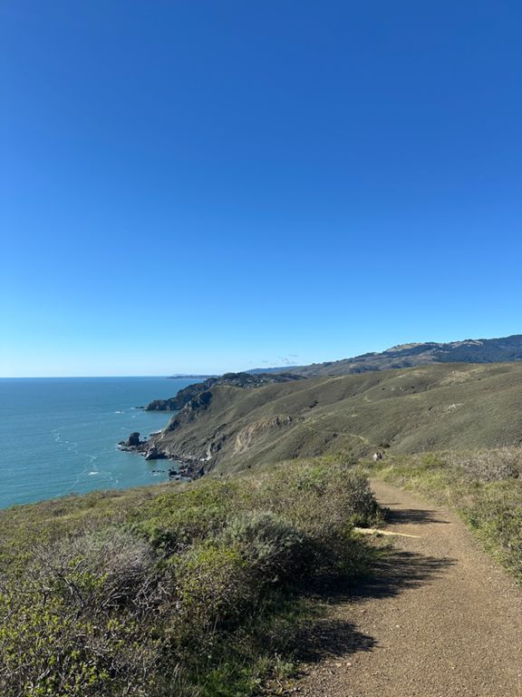
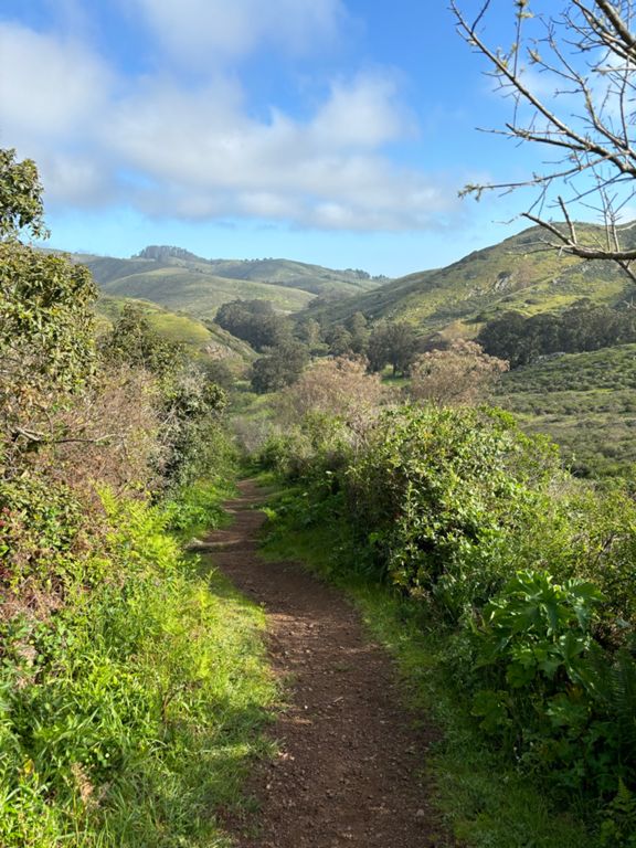
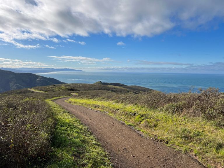
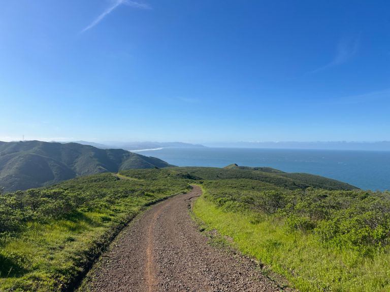
| GGB to Rodeo Valley Trail | 3.52公里 | 206米 | 5.6% |
| Coastal Trail (GGB to SCA) | 1.76公里 | 132米 | 7.4% |
| Bridge to SCA Climb | 1.27公里 | 116米 | 8.4% |
| Coastal Trail Parking Lot to Conzelman Rd. | 0.26公里 | 28米 | 10.6% |
| Coastal to SCA | 1.40公里 | 103米 | 7.0% |
| GG to TV | 7.97公里 | -179米 | -0.2% |
| SCA to Alta | 1.80公里 | 79米 | 3.7% |
| Redwood Highway Climb | 0.33公里 | 46米 | 14.0% |
| Alta to Marincello | 2.28公里 | -66米 | -0.1% |
| Alta (SCA to Bobcat) | 1.05公里 | -41米 | -3.3% |
| Bobcat (Alta to Marincello) | 1.19公里 | 37米 | 2.8% |
| Marincello Mile | 1.61公里 | -122米 | -7.6% |
| Marincello (Bobcat to Tennessee Valley) | 2.31公里 | -206米 | -8.8% |
| SFRC PR Your Mile | 1.61公里 | -162米 | -10.0% |
| Tennessee Valley Launch | 0.40公里 | -10米 | -2.3% |
| Haypress Trail Climb | 0.40公里 | 52米 | 13.0% |
| Fox Trail (Tenn. Vly to Coastal) | 1.68公里 | 220米 | 13.1% |
| Fox Climb Part 1 | 0.49公里 | 86米 | 17.3% |
| Fox Tr Climb | 0.39公里 | 71米 | 18.2% |
| Top of Fox Trail to Tenn Vly (via Coyote Ridge and Coastal) | 2.15公里 | -225米 | -10.5% |
| Coastal (Coyote Ride to Tennessee Valley) | 1.07公里 | -129米 | -12.0% |
| Coastal Trail, Tennessee Valley - Wolf Ridge | 1.83公里 | 241米 | 12.9% |
| 88 reasons why trail running is awful | 1.81公里 | 245米 | 13.0% |
| coastal - climb from tennessee valley to overlook | 0.85公里 | 164米 | 19.1% |
| coastal - climb from overlook to ridge | 0.63公里 | 67米 | 10.6% |
| Wolf Ridge to Miwok | 1.12公里 | -86米 | -6.8% |
| Down Miwok | 1.73公里 | -176米 | -10.1% |
| Rodeo Valley Trail climb | 2.98公里 | 239米 | 8.0% |
| Rodeo Valley Climb - McCullough to TOP | 2.03公里 | 215米 | 10.6% |
| Rodeo Valley climb- steep part | 1.49公里 | 178米 | 11.9% |
| SCA to Coastal Trail | 1.71公里 | -68米 | -3.8% |
| Rodeo Valley Trail to GGB Descent | 3.50公里 | -197米 | -5.6% |
| SCA - Dr. Seuss Sprint | 1.02公里 | -30米 | -2.7% |
| SCA to Coastal Trail | 1.73公里 | -74米 | -3.7% |
| Chita | 0.35公里 | 25米 | 6.9% |
| SCA Golden Gate View Hill Detour | 0.09公里 | 23米 | 21.4% |
| Armadillo | 0.52公里 | -60米 | -10.7% |
| Coastal Trail (SCA to GGB) | 1.75公里 | -132米 | -7.5% |
| Coastal Descent SCA to GGB | 1.76公里 | -135米 | -7.5% |
| Coastal Trail Downhill to Conzelman | 1.48公里 | -102米 | -6.9% |
| SCA to Conzelman Rd DH | 1.39公里 | -98米 | -7.0% |
| Final descent down SCA + coastal trails | 1.25公里 | -120米 | -9.6% |
| SCA Final Descent | 0.28公里 | -26米 | -9.1% |
| SCA Final Descent (not hazardous) | 0.30公里 | -30米 | -10.0% |


