Atividades
Principais desportos
Corrida
Ciclismo
Passeio
Caminhada
Corrida
Ciclismo
Funcionalidades
Mapas
Desafios
Assinatura
Iniciar sessão
Aderir gratuitamente
Aderir
Página principal
Atividades
Corrida
Ciclismo
Passeio
Caminhada
Funcionalidades
Mapas
Desafios
Assinatura
Suporte
Aderir
Iniciar sessão
Obtenha a aplicação
+ 100
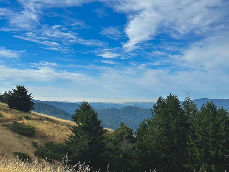
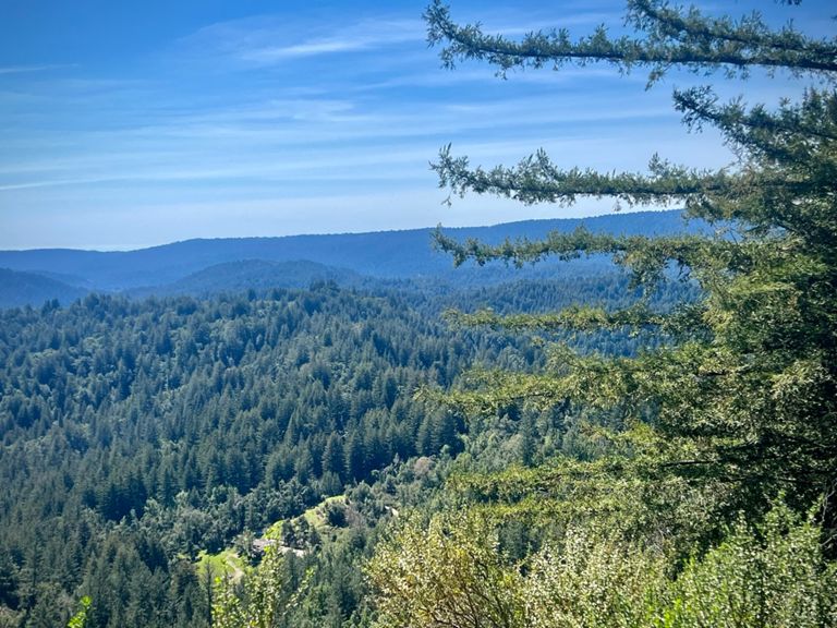
AVA Endurance: Big Basin
Rota de ciclismo
Guardar
Partilhar
Detalhes
85,98 milhas
8 739 ft
Criado por
Zack B
26 de janeiro de 2024
·
Público
Rota e elevação
Segmentos
Nome
Distância
Dif. Elevação
Inclinação Média
Dish entrance to Page Mill
0,35 milhas
-13 ft
-0,5%
Old Page Mill Road
0,83 milhas
69 ft
1,2%
Page Mill - Arastradero to Moody
2,51 milhas
679 ft
5,1%
Page Mill - Arastradero to Altamont
1,91 milhas
495 ft
4,9%
Page Mill Road (Low-Key Hillclimbs)
8,30 milhas
1 985 ft
4,5%
The story of us. Page one
0,85 milhas
92 ft
2,0%
Page Mill - First Half
2,42 milhas
837 ft
6,5%
Page Mill - Alexis to Via Ventana
0,47 milhas
197 ft
7,9%
Page Mill: Altamont to FH 01 (500ft ascend)
1,32 milhas
456 ft
6,5%
partial page mill - palo alto town sign to that one plateau
2,47 milhas
925 ft
7,0%
Page Mill - Park Entrance to Moody
0,21 milhas
112 ft
9,7%
Page Mill - Moody to Montebello Open Space
4,39 milhas
1 257 ft
5,4%
Page Mill - Moody to Gate 3
1,49 milhas
436 ft
5,5%
Page Mill (SW): Moody → DeathSnake
0,95 milhas
243 ft
4,4%
Page Mill—Moody to drinking fountain
3,94 milhas
1 175 ft
5,6%
Page Mill—Naked Lady (Gate 3 to Gate 4)
0,63 milhas
318 ft
9,3%
Page Mill - Gate 4 to Skyline
3,61 milhas
538 ft
2,3%
Page Mill - Monte Bello Rd Climb
0,74 milhas
282 ft
7,2%
Page Mill - Last steep bump at Los Trancos
0,16 milhas
92 ft
10,5%
Page Mill Climb, Final Mile to Skyline
1,04 milhas
-98 ft
-0,1%
Page Mill to Skyline -- Final Sprint Climb
0,45 milhas
75 ft
3,1%
Skyline - Page Mill to Hwy 9
6,39 milhas
568 ft
1,1%
Skyline - Final SB climb N of Hwy 9
0,83 milhas
279 ft
6,4%
Full Bear Creek (9 to 35)
9,10 milhas
1 660 ft
3,3%
Bear Creek Road
3,10 milhas
2 631 ft
0,0%
sprint to the top of 9
0,06 milhas
33 ft
8,5%
Hwy 9 Descent - Skyline to Redwood Gulch
3,01 milhas
-1099 ft
-6,9%
Hwy 9 Descent - Redwood Gulch Down to the Bridge
2,24 milhas
-705 ft
-5,9%
Hwy 9 Descent - Redwood Gulch to Sanborn
1,46 milhas
-545 ft
-7,0%
Hwy 9 Descent - Speed Trap
0,25 milhas
-85 ft
-6,5%
Pierce Rd Climb - Hwy 9 to Winery
0,36 milhas
135 ft
7,0%
Pierce DH - Winery to Mt. Eden
0,62 milhas
-279 ft
-8,4%
Mt Eden Back Side - Pierce to the Top
1,56 milhas
266 ft
2,9%
Pierce to Montebello
3,61 milhas
-289 ft
-0,1%
Mt Eden - East Side - the steep bit
0,41 milhas
213 ft
9,7%
Mt Eden - East Side - the really steep bit
0,13 milhas
92 ft
12,9%
Mt Eden - West side descent
0,69 milhas
-246 ft
-6,6%
Mt Eden west descent to 280
5,27 milhas
-541 ft
-1,9%
Stevens Canyon Rd - Canyon Picnic Parking Lot to Reservoir Parking Lot
1,81 milhas
-43 ft
-0,2%
Northern Steven's Canyon TT (short version)
2,96 milhas
-141 ft
-0,8%
Sprint from Steven's Canyon - Montebello to McClellan
1,73 milhas
-138 ft
-1,4%
Stevens Creek Dam to Foothill Bump
2,43 milhas
-197 ft
-1,4%
Stevens Canyon Sprint from past parking lot to top of hill
0,82 milhas
-85 ft
-1,8%
Thursday Night Sprint
0,34 milhas
-16 ft
-0,6%
Foothill: Stevens Creek to Cristo Rey Dr. Sprint.
0,60 milhas
-36 ft
-0,8%
Foothill Stevens Creek to Homestead
1,07 milhas
-115 ft
-2,0%
PV Sprint for coffee
0,30 milhas
-30 ft
-1,4%
Foothill - Arastradero to Page Mill
1,28 milhas
49 ft
0,4%
Foothill - Arastradero to Hillview
0,61 milhas
16 ft
0,1%
Foothill - Page Mill to Hillview
0,55 milhas
-56 ft
-1,4%