route-highlight
Últimas duas semanas
route-highlight
Últimas duas semanas
route-highlight
route-highlight
route-highlight
route-highlight
+ 194

A Endurance Ride 2/24/2024 - Soda Springs/Black Rd

Rota de Ciclismo

Detalhes
72,01 mi
8.442 pés
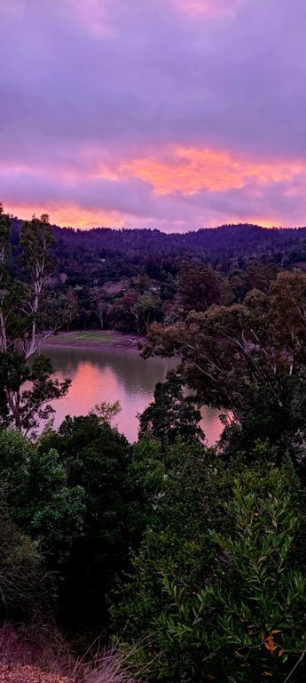
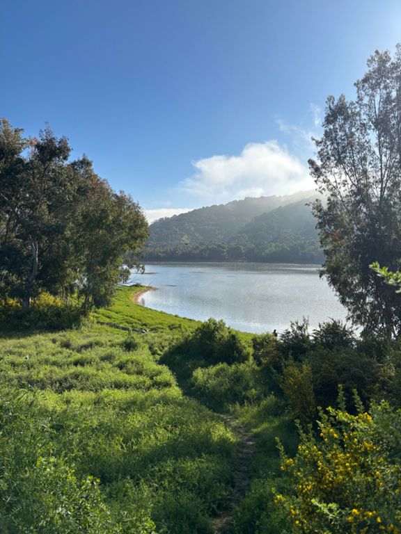
We're taking a trip down to Lexington Reservoir! We'll warm up with Eden and Pierce, and once we get past the gravel and arrive at the reservoir we'll hit Soda Springs and Black Rd, and then we'll keep climbing along Skyline and end with a nice descent down Page Mill.

Water stops at Saratoga, Los Gatos (maybe), and Castle Rock. Ironically there are no water fountains around the reservoir, and there isn't even soda on Soda Springs so please bring two big bottles!
Criado por
Richard R

Rota e elevação

Segmentos

NomeDistânciaDif. de elev.Inclinação média
Dive bomb 3,25 mi112 pés0,3%
Foohill: Page Mill to Arastradero1,13 mi-36 pés-0,3%
Foothill, Arastradero to El Monte2,33 mi128 pés1,0%
Under the bridge (South)0,17 mi26 pés1,8%
Homestead to Montebello Grinder3,49 mi289 pés1,5%
Foothill - Offramp Light to Cristo Rey0,29 mi75 pés4,8%
Stevens Creek to County Park1,22 mi112 pés1,7%
The Mt Eden Time Trial5,45 mi423 pés0,5%
Stevens Canyon - McClellan to Montebello1,60 mi131 pés1,4%
Stevens Canyon to Mt Eden Rd Stop Sign2,85 mi128 pés0,7%
stevens creek res - mt eden stop sign1,84 mi52 pés0,3%
Montebello Rd stop sign to top of Mt Eden fence2,06 mi299 pés2,7%
Use it or Lose It! Push!0,30 mi-43 pés-0,0%
Stevens Canyon Rd (Cal-Fire to Mt. Eden)0,65 mi43 pés0,1%
Mt. Eden: Yes, It's a Climb1,02 mi272 pés5,0%
Mt Eden to archery sign0,54 mi180 pés6,3%
Mt Eden First Bend0,22 mi79 pés6,8%
Mt Eden - Stop sign to Pierce Rd2,25 mi-305 pés-0,2%
Mt Eden Sprint Hairpin to Fence0,24 mi85 pés6,6%
Mt. Eden Descent - Only steep pitch0,51 mi-210 pés-7,7%
Mt Eden sprint to Pierce0,50 mi-49 pés-1,0%
Pierce Rd - Mt Eden to Winery (safe)0,62 mi282 pés8,5%
Backside of Pierce to Mountain Winery0,35 mi151 pés8,0%
Hwy 9 Descent - Pierce to Saratoga1,15 mi-190 pés-3,1%
Hwy 9 - Saratoga to Los Gatos3,30 mi-141 pés-0,3%
LG Creek Trail - Gravel Grind1,11 mi85 pés1,4%
Short N' Loose0,15 mi72 pés9,1%
Lexington Dam - both hills0,53 mi207 pés7,3%
Alma Dam0,20 mi-1.033 pés-0,0%
Soda Springs Road5,32 mi2.356 pés8,4%
Soda Springs to 1st swithback3,22 mi1.391 pés8,2%
Soda Springs from First Corner4,96 mi2.316 pés8,8%
Aldercroft Heights (Alma Bridge to OSCH)0,43 mi180 pés7,9%
Black Road4,53 mi3.035 pés0,0%
Black Road to Gist1,86 mi850 pés8,6%
Skyline from Highway 9 to Page Mill6,31 mi-617 pés-1,2%
Hit 50 mph0,92 mi-279 pés-5,7%
Page Mill Descent - Skyline to Moody5,70 mi-1.266 pés-4,2%
Page Mill Descent (Full)6,24 mi-1.900 pés-5,8%
Yet another speeding ticket0,29 mi-108 pés-5,8%
Page Mill - Montebello Steep Drop0,18 mi-52 pés-5,1%
Page 5 Chapter 3. Friends, lovers, or nothing? 3,08 mi-935 pés-5,7%
Page Mill - Trickiest Bits, Foothills OSP1,66 mi-650 pés-7,4%
DH Page - midway sprint climb0,23 mi39 pés2,9%
YOLO0,79 mi-302 pés-7,2%
Pulling G's0,10 mi-39 pés-7,3%
Page Mill Descent - Altamont to Arastradero1,87 mi-509 pés-4,8%
Pagemill Descent Altamont to Alexis1,01 mi-390 pés-7,3%
draaaaft0,65 mi-138 pés-4,0%
Old Page Mill (Downhill)0,81 mi-62 pés-1,3%