Actividades
Deportes principales
Carrera
Ciclismo
Caminata
Senderismo
Carrera
Ciclismo
Funciones
Mapas
Retos
Suscripción
Iniciar sesión
Registrarse gratis
Registrarse
Inicio
Actividades
Carrera
Ciclismo
Caminata
Senderismo
Funciones
Mapas
Retos
Suscripción
Ayuda
Registrarse
Iniciar sesión
Descargar aplicación
+ 19
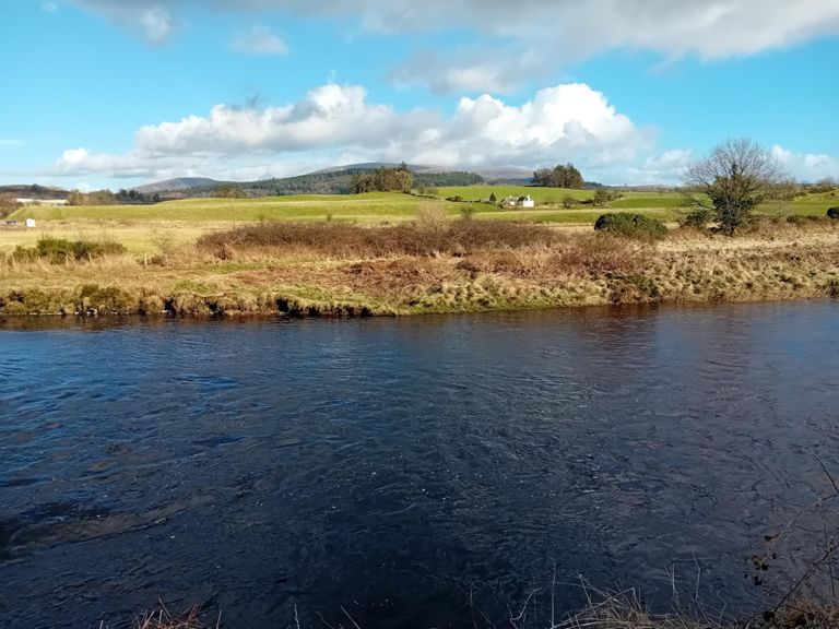
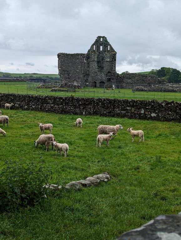
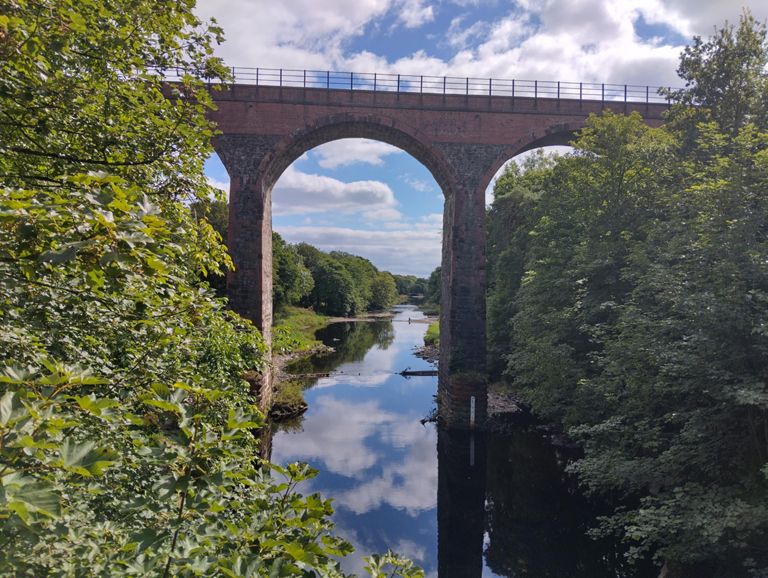
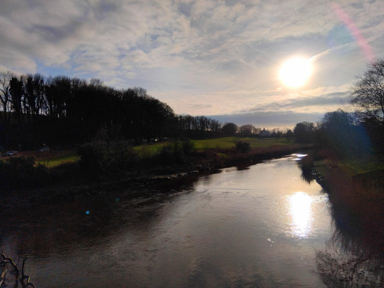
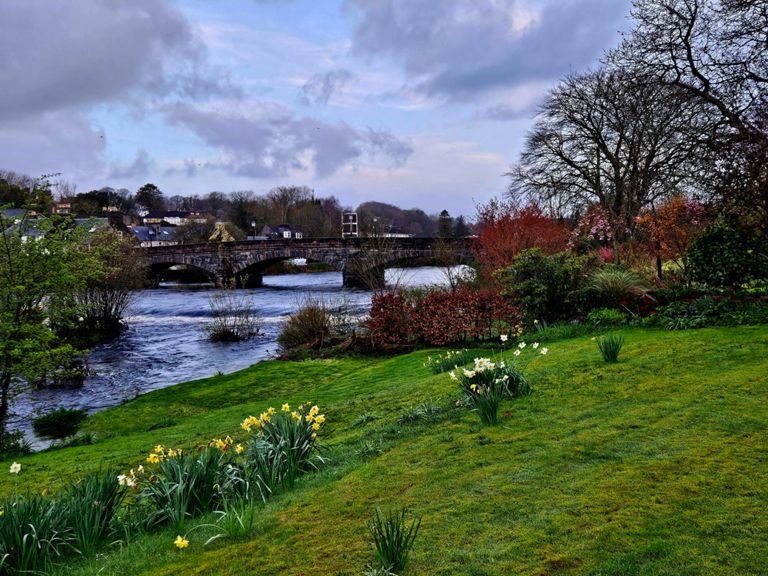
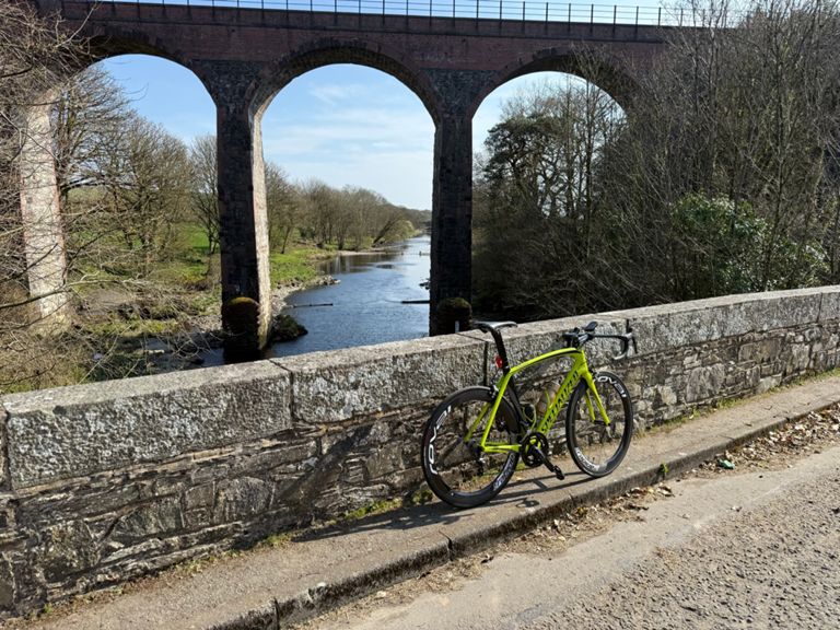
Glenluce and Wigtown from Newton Stewart
Ruta ciclista
Guardar
Compartir
Detalles
102,08 km
878 m
Creada por
Dod Peters
2 de marzo de 2024
·
Público
Ruta y desnivel
Segmentos
Nombre
Distancia
Diferencia de desnivel
Pendiente media
King street climb
0,48 km
6 m
1,2 %
Challoch to river Bladnoch
6,30 km
84 m
0,7 %
Challock to Barrhill
24,16 km
114 m
0,2 %
challoch military road to bladnoch bridge
5,18 km
65 m
0,5 %
Challoch short climb
1,79 km
60 m
3,3 %
bladnoch bridge - loch maberry
8,94 km
70 m
0,6 %
Bladnoch bridge to Barhill
17,57 km
64 m
0,0 %
Knowe to Barrhill
15,78 km
-59 m
-0,1 %
All the way up from Barrhill
7,82 km
167 m
2,1 %
Dash out of Barhill
1,49 km
65 m
4,4 %
Forrest Grid to top of the hill
4,46 km
58 m
1,3 %
Top of the Hill top Bridge
6,66 km
-96 m
-1,3 %
Bridge to Top of the straight
3,32 km
24 m
0,1 %
New Luce to the Abbey
6,07 km
-43 m
-0,5 %
Spin between village limits
8,10 km
-52 m
-0,5 %
A75 to Stairhaven
2,84 km
-17 m
-0,1 %
lump in the road to william
1,80 km
21 m
0,4 %
A747 Rock Climb
0,33 km
15 m
4,4 %
Culmazie to Managers House.
5,13 km
-30 m
-0,2 %
Hillhead to Bladnoch
4,23 km
-31 m
-0,3 %
Roundabout / crossroad
1,58 km
23 m
1,2 %
Potato to B733
0,87 km
33 m
3,7 %
County Buildings to Martyr's Stake DH
0,48 km
-29 m
-5,7 %
nether Barr to Aldi
1,91 km
-20 m
-0,9 %