Atividades
Principais esportes
Corrida
Ciclismo
Caminhada
Trilha
Corrida
Ciclismo
Recursos
Mapas
Desafios
Assinatura
Fazer login
Inscreva-se gratuitamente
Inscreva-se
Início
Atividades
Corrida
Ciclismo
Caminhada
Trilha
Recursos
Mapas
Desafios
Assinatura
Suporte
Inscreva-se
Fazer login
Consiga o app
+ 19
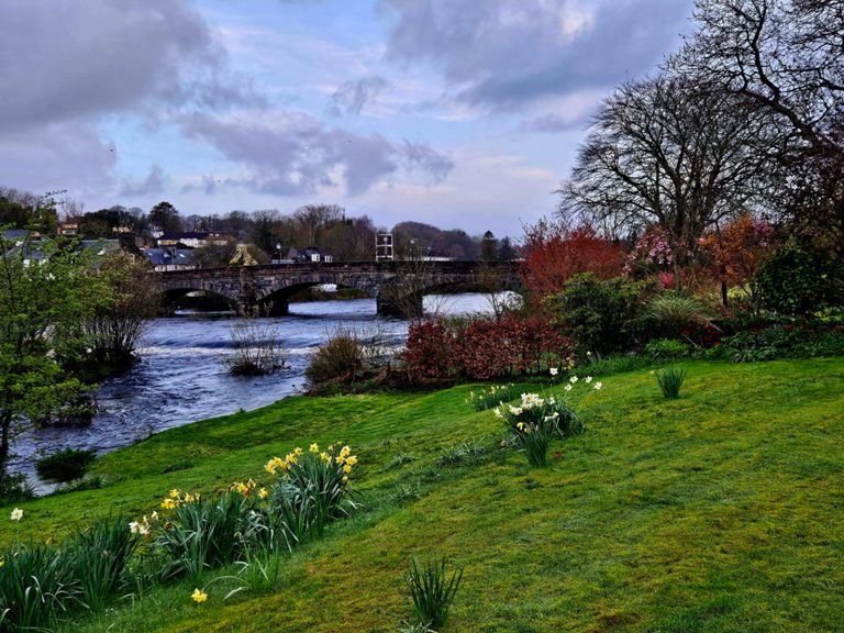
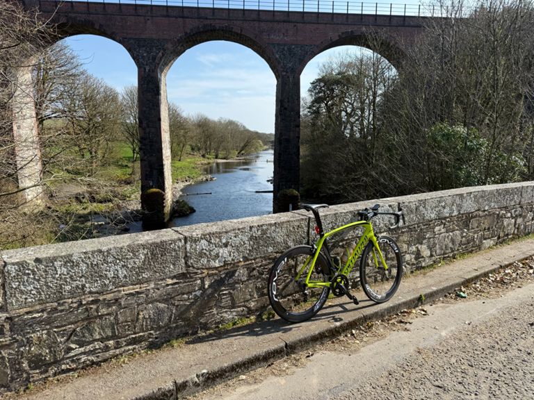
Glenluce and Wigtown from Newton Stewart
Rota de Ciclismo
Salvar
Compartilhar
Detalhes
102,08 km
878 m
Criado por
Dod Peters
2 de março de 2024
·
Público
Rota e elevação
Segmentos
Nome
Distância
Dif. de elev.
Inclinação média
King street climb
0,48 km
6 m
1,2%
Challoch to river Bladnoch
6,30 km
84 m
0,7%
Challock to Barrhill
24,16 km
114 m
0,2%
challoch military road to bladnoch bridge
5,18 km
65 m
0,5%
Challoch short climb
1,79 km
60 m
3,3%
bladnoch bridge - loch maberry
8,94 km
70 m
0,6%
Bladnoch bridge to Barhill
17,57 km
64 m
0,0%
Knowe to Barrhill
15,78 km
-59 m
-0,1%
All the way up from Barrhill
7,82 km
167 m
2,1%
Dash out of Barhill
1,49 km
65 m
4,4%
Forrest Grid to top of the hill
4,46 km
58 m
1,3%
Top of the Hill top Bridge
6,66 km
-96 m
-1,3%
Bridge to Top of the straight
3,32 km
24 m
0,1%
New Luce to the Abbey
6,07 km
-43 m
-0,5%
Spin between village limits
8,10 km
-52 m
-0,5%
A75 to Stairhaven
2,84 km
-17 m
-0,1%
lump in the road to william
1,80 km
21 m
0,4%
A747 Rock Climb
0,33 km
15 m
4,4%
Culmazie to Managers House.
5,13 km
-30 m
-0,2%
Hillhead to Bladnoch
4,23 km
-31 m
-0,3%
Roundabout / crossroad
1,58 km
23 m
1,2%
Potato to B733
0,87 km
33 m
3,7%
County Buildings to Martyr's Stake DH
0,48 km
-29 m
-5,7%
nether Barr to Aldi
1,91 km
-20 m
-0,9%