


+ 22
Tom's Fund Raiser Route
Cycling Route
Details
201.7 km
1,032 m
Created By
Frank G

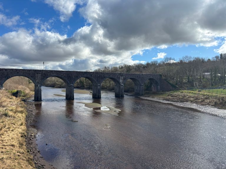
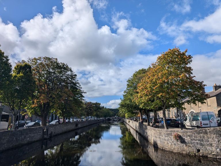
Route and Elevation
Segments
| Name | Distance | Elev. Diff. | Avg. Grade |
|---|---|---|---|
| Dunnes traffic lights to Genoa | 0.38 km | -5 m | -0.4% |
| Shannon Bridge to Monksland | 2.63 km | 8 m | 0.0% |
| This is where the drag starts. | 1.37 km | 15 m | 0.8% |
| Roundabout to Pitch Sprint | 0.70 km | -10 m | -1.5% |
| Alto del Loughreao | 0.89 km | 13 m | 1.5% |
| Down from town | 0.51 km | -15 m | -2.9% |
| Craughwell Sprint | 1.38 km | -11 m | -0.4% |
| Crughwell Drag | 1.38 km | 11 m | 0.8% |
| Round to Round | 0.72 km | -5 m | -0.1% |
| Oranmore Carnmore cross | 4.11 km | 20 m | 0.5% |
| Oranmore to Carnmore | 3.26 km | 19 m | 0.6% |
| CATCH THE PLANE | 3.08 km | 18 m | 0.6% |
| Belclare turn off to Tuam | 4.14 km | 18 m | 0.1% |
| from roundabout to roundbout | 3.59 km | 23 m | 0.5% |
| Milltown Road | 0.46 km | 16 m | 3.4% |
| Mayfield Hill | 0.43 km | 17 m | 3.9% |
| river robe to Carrowsteelaun | 0.65 km | 16 m | 2.2% |
| XL Stores -Community Centre | 0.69 km | -12 m | -0.6% |
| Clives Hill | 1.05 km | -20 m | -1.2% |
| Frenchill Flat Out | 2.12 km | 13 m | 0.1% |
| 0.51 km | -8 m | -1.2% | |
| Newport Rd | 0.66 km | 30 m | 4.4% |
| Greenway - Westport (Attireesh) to Newport | 10.18 km | -35 m | -0.2% |
| Buckfield to Newport via GWG | 5.93 km | 13 m | 0.0% |