


+ 97
ENG_111_2024
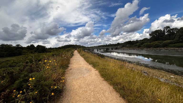
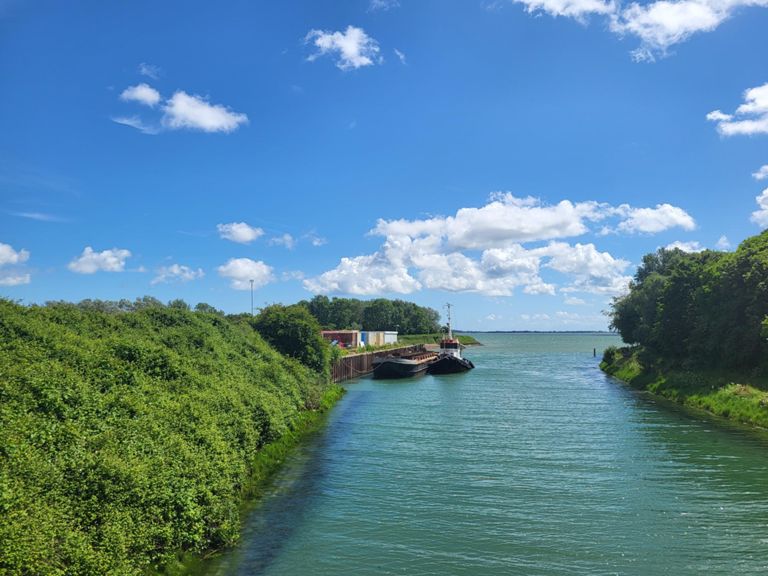
骑行路线
详情
21.84公里
56米
创建者
ROoT Relay

路线和海拔
路段
| 名字 | 距离 | 海拔高度差 | 平均坡度 |
|---|---|---|---|
| Eastern Road to Havant | 2.67公里 | 11米 | 0.0% |
| Farlington Marshes - west to east | 2.62公里 | 7米 | 0.2% |
| Farlington Marshes | 2.43公里 | 11米 | 0.1% |
| Eastern Road to Havant Gate to Gate | 1.95公里 | 10米 | 0.2% |
| Marshes TT; West-East | 2.11公里 | 6米 | 0.1% |
| Marshes Climb | 0.64公里 | 7米 | 0.8% |
| harts farm way | 1.02公里 | -5米 | -0.4% |
| IBM Sprint | 0.34公里 | -1米 | -0.0% |
| Bridge to Lights | 0.62公里 | -4米 | -0.4% |
| Welcome to Emsworth | 0.46公里 | -4米 | -0.4% |
| Roundabout to thorney road | 0.69公里 | 5米 | 0.2% |
| Ems rab to southbourne rab | 2.03公里 | -6米 | 0.0% |
| Southbourne - Nutbourne | 1.76公里 | 4米 | 0.1% |
| Broadbridge Roundabout to Chequer Lane | 0.98公里 | 2米 | 0.1% |
| Bosham - Fishbourne | 2.04公里 | -4米 | -0.1% |
| Chequer Lane to Fishbourne Underpass | 2.03公里 | -4米 | -0.0% |
| Subway to Crossing | 0.44公里 | 2米 | 0.3% |
| To The Sky! | 0.30公里 | -2米 | -0.6% |
| Sprint Over The Bridge (reverse) | 0.49公里 | 5米 | 0.3% |
| Over the bridge | 0.34公里 | 1米 | 0.1% |
| Westgate West to East | 0.88公里 | 7米 | 0.8% |
| West Street Dash (eastbound) | 0.34公里 | 4米 | 0.9% |