route-highlight
Past Week
route-highlight
Past Two Weeks
route-highlight
Past Month
route-highlight
Past Month
route-highlight
Past Month
route-highlight
+ 104

May 2024 GBA Group Gravel Ride

Cycling Route

Details
35.73 mi
783 ft
https://www.gravelbikeadventures.com/events/may-gba-group-ride

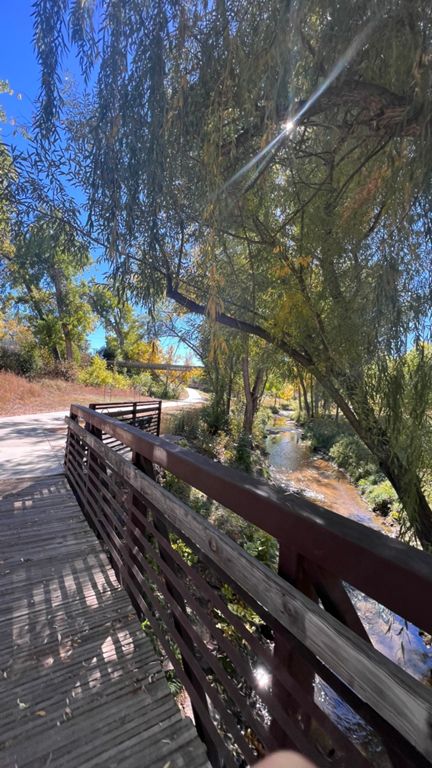
Cherry Hills/Heights & High Line trails

80% Gravel / 20% Pavement
Created By
Laura Karpinski | Gravel Bike Adventures

Route and Elevation

Segments

NameDistanceElev. Diff.Avg. Grade
Toilet the Skip0.69 mi-13 ft-0.3%
Big Dry Creek Path S. Platte to LHS2.50 mi115 ft0.9%
Mary Carter Greenway to Dog Park0.50 mi23 ft0.9%
Dry Creek Duck, Dodge, and Turn2.52 mi118 ft0.8%
Floydrn Fury0.58 mi36 ft1.0%
Little Dry Creek from Chenango to Fox0.74 mi30 ft0.3%
Washington Mini-Climb0.22 mi52 ft4.6%
Washinton short, steep, not so sweet0.16 mi30 ft3.3%
Big Dry Creek to Highline0.31 mi72 ft4.2%
HLC: Clarkson to Franklin0.37 mi7 ft0.1%
HLC: Franklin to University (don't stop me now PT. 1) 0.60 mi10 ft0.0%
Highline Uni-Orchard1.70 mi23 ft0.1%
HLC: University to Long (don't stop me now PT. 2) 0.37 mi-7 ft-0.2%
University to Long (the not sprinting into traffic version)0.32 mi7 ft0.3%
Long Way to Dry Creek1.06 mi-36 ft-0.2%
HLC Orchard to GW Gulch Trail2.05 mi-13 ft0.0%
HLC: Orchard to Belleview2.81 mi-10 ft0.0%
HLC Northbound Orchard to Belleview2.71 mi-20 ft-0.1%
HLC - East to Marjorie Perry Nature Preserve 0.79 mi-10 ft-0.0%
openers stretch1.22 mi10 ft0.1%
(gravel) HLC northbound: Greenwood Gulch to Kent1.28 mi-16 ft-0.0%
(gravel) poopy Fairfax southbound0.27 mi26 ft1.9%
(gravel) poopy Chenango eastbound0.23 mi10 ft0.8%
Tig Ol Bitties0.45 mi-13 ft-0.3%
(gravel) Escape from University0.21 mi30 ft2.7%
(gravel) dogleg right0.41 mi-36 ft-1.3%
(gravel) Monroe to HLC EB0.61 mi56 ft1.7%
Belleview to Orchard, High Line South2.84 mi20 ft0.1%
Highline- Belleview to Broadway9.49 mi46 ft0.0%
Preserve Bridge to Orchard2.03 mi16 ft0.1%
Highline Willamette to Orchard0.89 mi16 ft0.2%
High Line/Dirt Road to DeKovend Park Southbound5.65 mi43 ft0.0%
Highline Orchard to Long1.64 mi20 ft0.1%
Long Push1.05 mi36 ft0.5%
Highline Long to Franklin0.97 mi16 ft0.1%
HLC: Franklin to Clarkson0.39 mi3 ft0.0%
(gravel) HLC southbound: Sunset to Orchard0.81 mi13 ft0.0%
The High Life1.96 mi20 ft0.1%
HLC: Bridge to Clarkson1.34 mi10 ft0.1%
HLC Clarkson to Broadway0.58 mi20 ft0.3%
High line Circle (around the pond)0.79 mi3 ft0.0%
Broadway to Apache0.26 mi-13 ft-0.8%
Apache to Fremont0.44 mi-10 ft-0.3%
The Hill-Line Bone0.76 mi-62 ft-1.5%
Lee Gulch - Highline to South Platte2.57 mi-174 ft-1.3%
Down Lee Gulch Heritage to Platte1.67 mi-108 ft-1.2%
Down Lee Gulch Heritage to Windermere0.45 mi-20 ft-0.8%
Down Lee Gulch Windermere to Prince0.63 mi-49 ft-1.0%
Down Lee Gulch Prince to Platte0.57 mi-56 ft-1.9%
(gravel) anything but pavement0.31 mi-20 ft-1.1%