

Black Moshannon Long Run Tour
Trail Running Route
Hard
12.21 mi
517 ft
An epic long run through Black Moshannon highlighting the bog's beauty and its unique plant life.
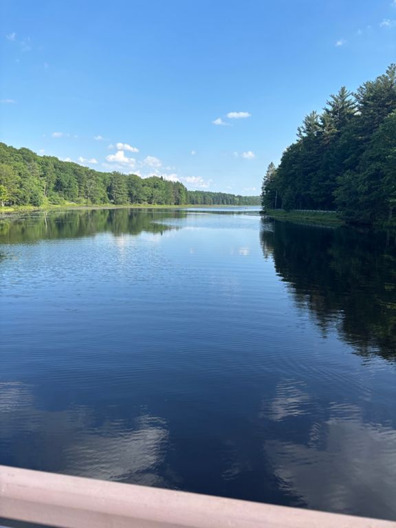
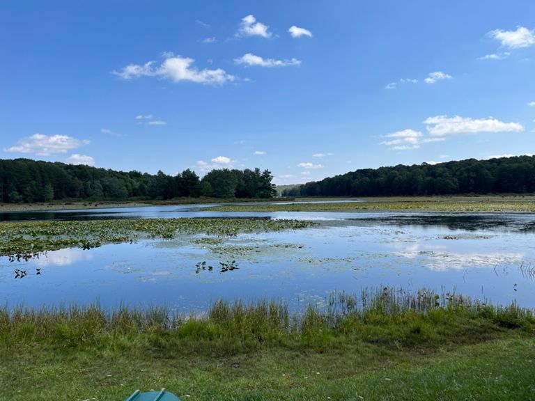
This circuit through Black Moshannon SP is one of the top long runs near State College. Just over 12-miles total, the loop is relatively flat as it circles the reconstituted bog the park was built around. Spruce, fir, hemlock, and pine shade the trail and give it a dark - almost eerie - feeling, even on a warm summer day. Unique wildflowers and wildlife can often be observed, and elevated boardwalks traverse some of
the wetlands you'll explore along the way.
For trail runners, one of the most important things to know is that you *will* get your feet wet and muddy along the way. The lake was once a string of beaver dams in the 1700s, though the current structure was built in the 1930s to preserve the native wildflowers that exist in these rare bog environments. Boardwalks help navigate some of the wetter areas, but parts of the loop stay muddy year-round - especially along the southern and western sections.
Parking is available near the beach, which is where this version of the route was mapped from. Water and restrooms are readily available and the Lake Loop Trail offers a great way to warm up before heading further out. You'll also encounter several interpretive signs as you run, mostly noting the historic logging efforts and unique flora and fauna you may encounter in the vicinity.
If you're looking for a shorter hike to see the lake, consider the [Bog Trail](https://fatmap.com/routeid/2808953/Black_Moshannon_Bog_Trail) for a quick walk with nice views and tons of history. This run also utilized the Bog Trail, so there's no need to plan an extra trip if this run is on your list.
[Source](https://en.wikipedia.org/wiki/Black_Moshannon_State_Park) Written by Brendon Voelker
Route and Elevation
Segments
| Name | Distance | Elev. Diff. | Avg. Grade |
|---|---|---|---|
| The Actual Mosse Hanne Trail (smh) | 7.46 mi | -95 ft | -0.1% |
| Between the Bloobs | 0.28 mi | 7 ft | 0.1% |