


+ 133
London Ultra 27.5k
Trail Running Route
Moderate
15.96 mi
927 ft
An epic long-distance trail run around London’s orbital path.
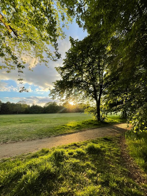
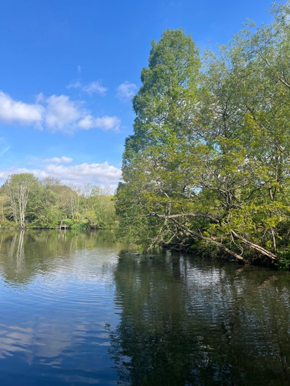
The ULTRA LONDON running route follows the southern part of the Capital Ring trail, an orbital route of epic proportions around greater London. Lying halfway between the Circle Line and the M25, the route traces a course through London’s finest parks and palace gardens, from woodland to unused railway lines, docklands, cemeteries, and residential streets. The route is signposted throughout, and the terrain switches between gravel, grass, and tarmac. Tackling even just part of the mega 70-mile Capital Ring route brings home both the sheer scale of London and its abundance of green spaces. There are two official London Ultra routes: the 55k marathon and the shorter 27.5k. This adventure maps out the 27.5k route, which begins at Crystal Palace, takes you through Wimbledon Common, and finishes at Richmond Park. For more information, visit: https://www.ultralondon.co.uk/ Written by FATMAP Official
The ULTRA LONDON running route follows the southern part of the Capital Ring trail, an orbital route of epic proportions around greater London. Lying halfway between the Circle Line and the M25, the route traces a course through London’s finest parks and palace gardens, from woodland to unused railway lines, docklands, cemeteries, and residential streets. The route is signposted throughout, and the terrain switches between gravel, grass, and tarmac. Tackling even just part of the mega 70-mile Capital Ring route brings home both the sheer scale of London and its abundance of green spaces. There are two official London Ultra routes: the 55k marathon and the shorter 27.5k. This adventure maps out the 27.5k route, which begins at Crystal Palace, takes you through Wimbledon Common, and finishes at Richmond Park. For more information, visit: https://www.ultralondon.co.uk/ Written by FATMAP Official