

+ 129
Tout autour du Mont Ventoux
Cycling Route
Details
102.82 km
1,393 m
Starting from the heart of Sault at Ride Ventoux, this cycling route offers a breathtaking loop around the iconic Mont Ventoux without directly climbing to its summit. The route provides a challenging ride with elevation gains comparable to a direct ascent of the mountain, but with the added reward of discovering the stunning landscapes and historical villages surrounding this majestic peak.
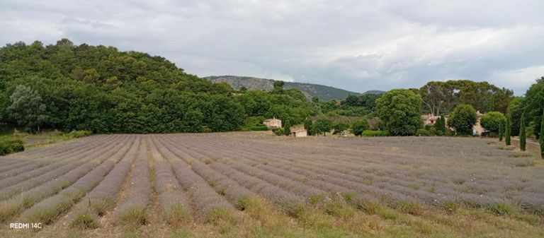
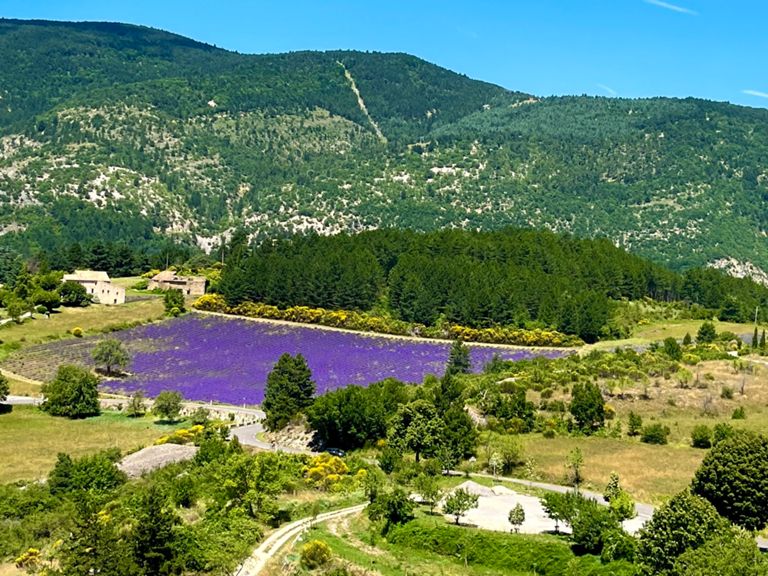
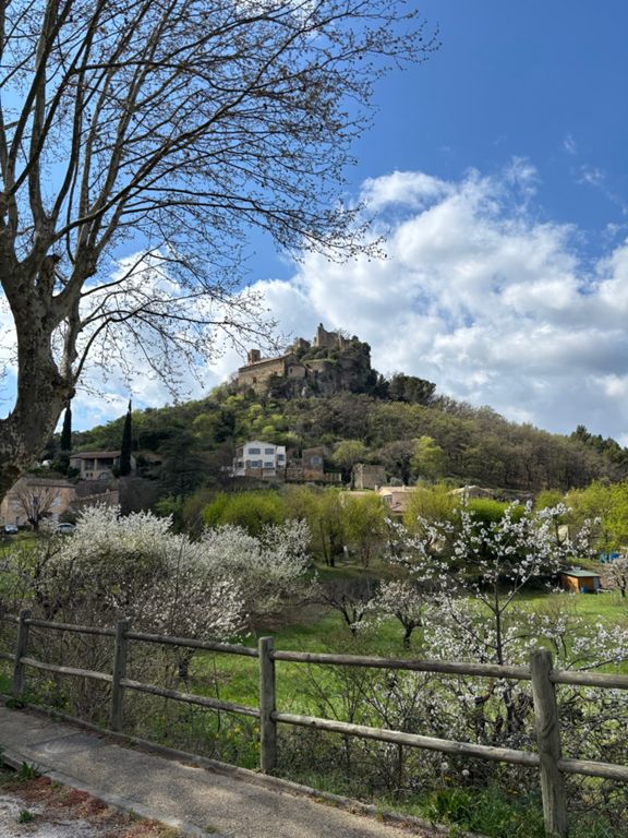
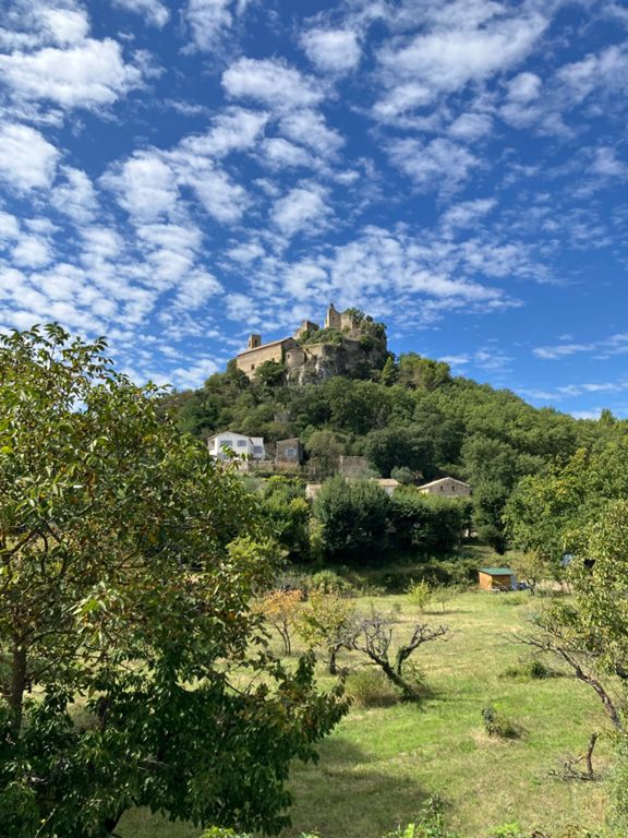
The loop around Mont Ventoux is an ideal way to immerse yourself in the natural beauty of the region, passing through lavender fields, vineyards, and picturesque Provencal villages. As you circle the mountain, you'll encounter key historical sites, such as the village of Bédoin, known as a traditional starting point for Ventoux climbs, and the ancient Roman settlement of Vaison-la-Romaine, a reminder of the region’s rich historical heritage.
One of the highlights of this route is the opportunity to experience Mont Ventoux from different angles. The changing perspectives offer not only stunning views but also a variety of climbs and descents, creating a dynamic and exciting ride.
Though you may not be summiting the "Giant of Provence" itself, this tour provides an equally rewarding adventure for cyclists of all levels, with plenty of opportunities to pause, explore, and enjoy the vibrant local culture.