

+ 108
Mount Katahdin | C'est Notre Monde
Hiking Trail
Hard
13.31 km
1,226 m
Le plus haut sommet du Maine ! Une rando incontournable dans la région.
https://www.cnotremonde.com/maine/le-mont-katahdin/
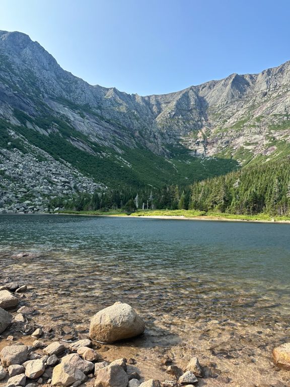
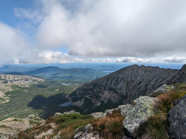
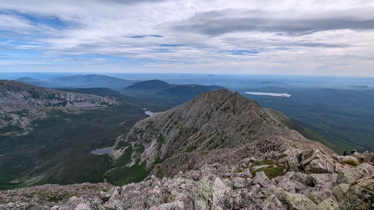
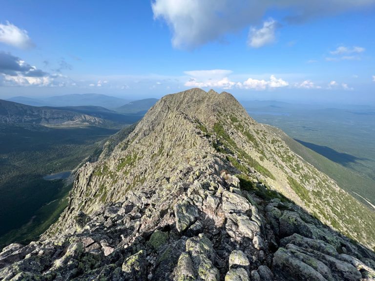
Plus haut sommet du Maine USA, le Mont Katahdin se situe dans le Baxter State Park. Son ascension constitue un challenge indéniable pour tous les adeptes de la randonnée. Les sentiers Cathedral trail et Knife Edge vous offrent un spectacle des plus vertigineux ainsi qu’une magnifique vue.
https://www.cnotremonde.com/maine/le-mont-katahdin/
Plus haut sommet du Maine USA, le Mont Katahdin se situe dans le Baxter State Park. Son ascension constitue un challenge indéniable pour tous les adeptes de la randonnée. Les sentiers Cathedral trail et Knife Edge vous offrent un spectacle des plus vertigineux ainsi qu’une magnifique vue.
Route and Elevation
Segments
| Name | Distance | Elev. Diff. | Avg. Grade |
|---|---|---|---|
| Roaring Brook to Chimney Pond | 5.01 km | 438 m | 8.7% |
| Chimney Pond Trail/Cathedral to Baxter Peak | 8.22 km | 1,134 m | 13.8% |
| Appalachian Trail Climb | 0.88 km | 101 m | 11.4% |
| Appalachian Trail Climb | 0.67 km | 43 m | 6.5% |
| Appalachian Trail Climb | 3.25 km | 713 m | 21.9% |
| Baxter Peak to Pamola via Knife Edge | 1.49 km | -129 m | -6.6% |
| Helon Taylor Trail Down | 4.29 km | -939 m | -21.9% |