Actividades
Deportes más destacados
Carrera
Ciclismo
Caminata
Senderismo
Carrera
Ciclismo
Funciones
Mapas
Retos
Suscripción
Iniciar sesión
Únete gratis
Suscribirse
Inicio
Actividades
Carrera
Ciclismo
Caminata
Senderismo
Funciones
Mapas
Retos
Suscripción
Asistencia
Suscribirse
Iniciar sesión
Obtén la aplicación
+ 29
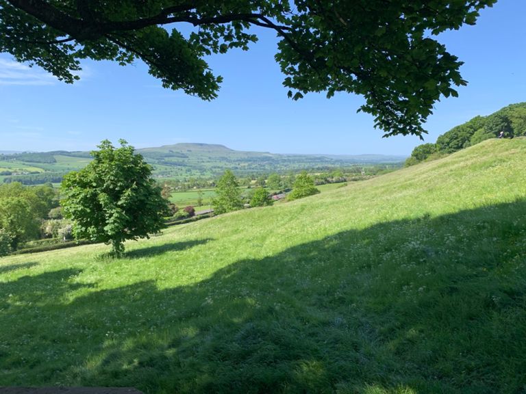
Moonglu CC Reliability Ride 2025
Ruta ciclística
Guardar
Compartir
Detalles
54.32 mi
2,964 ft
Creada por
Neil Dunkley Moonglu CC
18 de noviembre de 2024
·
Público
Ruta y desnivel
Segmentos
Nombre
Distancia
Diferencia de altitud
Pendiente media
Clock tower - golf club
0.93 mi
72 ft
1.4%
ripon to west tabfield
5.16 mi
95 ft
0.2%
Home Straight
3.29 mi
95 ft
0.4%
Lightwater Hill
0.43 mi
33 ft
0.5%
Race to the Ure
1.08 mi
46 ft
0.2%
West Tanfield Roundabout to Moor Lane Roundabout
0.24 mi
-16 ft
-0.5%
Kirklington Junction to A6055 Roundabout
0.51 mi
16 ft
0.3%
Pickhill to Burneston
1.73 mi
-43 ft
-0.0%
RAF SRTS Drag to Leeming Island
0.82 mi
39 ft
0.6%
Leeming Bar Services Roundabout to Bedale Bypass Roundabout (A6055)
0.73 mi
26 ft
0.6%
ByardsLeapNorth
1.02 mi
-56 ft
-0.3%
New road to Bedale road
2.81 mi
358 ft
2.4%
tunstall to bedale road
0.96 mi
157 ft
3.1%
The Top Road
1.47 mi
-108 ft
-1.2%
Range Road Jnct To Half Penny House
1.68 mi
-141 ft
-1.4%
Halfpenny to Runsbank
0.79 mi
105 ft
2.4%
Descent of Runs Bank
0.74 mi
-164 ft
-4.0%
Bellerby Flythrough
0.66 mi
-161 ft
-4.5%
Crosskeys to South Moor Lane
0.52 mi
26 ft
0.3%
Cross Keys to Leyburn Top Roundabout
1.15 mi
62 ft
0.1%
Leyburn Climb from Bellerby
0.46 mi
62 ft
1.0%
Leyburn 30s to Masham 30s
10.21 mi
-285 ft
-0.5%
Hammer down from the bridge
0.79 mi
95 ft
2.1%
Climb to Middleham
0.36 mi
95 ft
5.0%
Middleham to CB
1.10 mi
-85 ft
-1.5%
CB to BL
0.68 mi
98 ft
2.6%
East Witton to Low Ellington
4.00 mi
-108 ft
-0.4%
East Witton to Masham
6.52 mi
-161 ft
-0.4%
East Witton Church to Jervaulx Hall
1.34 mi
-102 ft
-1.3%
Jervaulx puncheur
0.26 mi
69 ft
4.4%
Brymor to Masham
3.82 mi
-177 ft
-0.7%
Masham to Ripon via G'thorpe
8.93 mi
-446 ft
-0.3%
Swinton Rd to Grewelthorpe Ducks
3.15 mi
328 ft
1.3%
Thorpe Road Climb
1.54 mi
315 ft
3.9%
Hackfall Hill
1.02 mi
131 ft
2.4%
Hackfall Steep bit
0.31 mi
95 ft
5.7%
escape shoot
0.42 mi
-72 ft
-2.5%
Grewelthorpe down to KM junction
1.46 mi
-144 ft
-1.9%
grewelthorpe to ripon
5.18 mi
-322 ft
-1.2%
grewelthorpe to ripon
5.54 mi
-351 ft
-1.2%
Down you go
3.19 mi
-177 ft
-1.0%
Azerley Hill
0.57 mi
52 ft
1.7%
clotherholme
3.12 mi
-180 ft
-0.8%
Out of the frying pan
3.66 mi
-243 ft
-1.2%
Sutton Grange Slingshot
0.45 mi
36 ft
1.0%
The Tractor Pull
0.79 mi
56 ft
1.3%
final sprint
0.55 mi
-62 ft
-1.5%
Stick to 30!
0.50 mi
-30 ft
-1.2%
Full gas into the city
0.32 mi
-26 ft
-1.6%
kirkby road finish
0.39 mi
-20 ft
-0.9%