| Bay Trail Bullet Blast to the Bayview Bridge | 0.48 mi | -3 ft | -0.0% |
| Hoffman Blvd | 0.24 mi | -3 ft | -0.1% |
| Tewksbury [East] | 0.07 mi | 59 ft | 14.4% |
| Point Richmond to RSR bridge climb | 0.36 mi | 56 ft | 2.7% |
| East Francisco to Andersen | 0.28 mi | 95 ft | 6.2% |
| Lincoln Ave final push | 0.10 mi | 59 ft | 11.2% |
| Las Gallinas UltraShort Hill North | 0.43 mi | 85 ft | 3.8% |
| LVR - Miller Creek to Big Rock | 4.46 mi | 574 ft | 2.4% |
| Bottom of Big Rock Hill to Summit | 0.93 mi | 384 ft | 7.8% |
| Lower Big Rock | 0.43 mi | 190 ft | 8.1% |
| Upper Big Rock | 0.42 mi | 184 ft | 8.1% |
| Top Big Rock East to NVR | 4.83 mi | -427 ft | -1.6% |
| Roasters sprint | 0.13 mi | 13 ft | 1.1% |
| Nicasio Valley Road power climb - northbound | 0.38 mi | 43 ft | 2.1% |
| Pt Reyes-Pet., fast section | 3.85 mi | -200 ft | -0.6% |
| Nicasio Dam to Platform Bridge Rd | 0.77 mi | -125 ft | -3.1% |
| Platform Bridge to Hwy 1 Stop Sign | 3.03 mi | 69 ft | 0.0% |
| Point Reyes-Petaluma Road Break Away | 1.30 mi | 98 ft | 1.1% |
| Get it | 0.52 mi | 79 ft | 2.8% |
| Point Reyes Station Roaster's Kicker Sprint | 0.15 mi | 49 ft | 6.1% |
| Sir Francis Drake from Bear Valley Road to Camino Del Mar | 4.44 mi | 20 ft | 0.0% |
| Sir Francis Drake East | 1.01 mi | -39 ft | -0.5% |
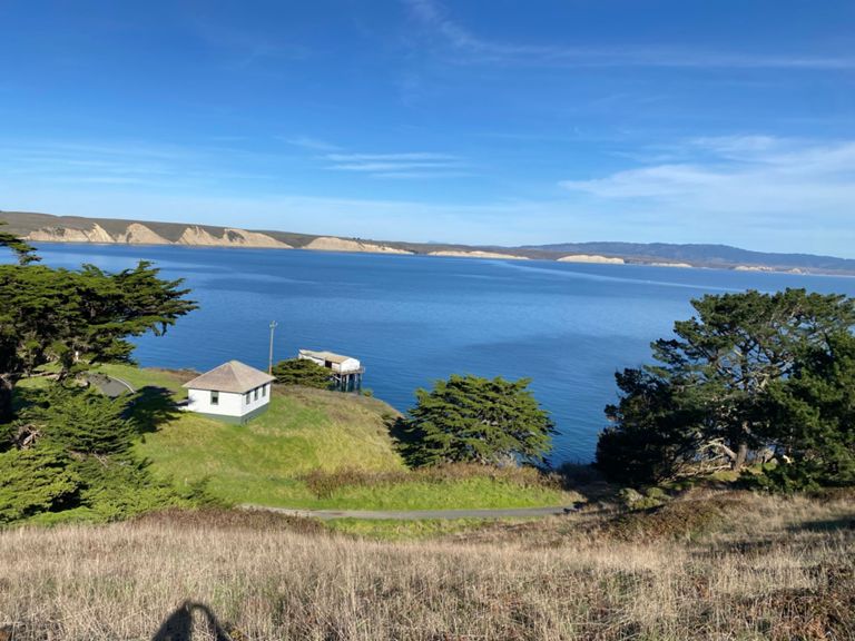
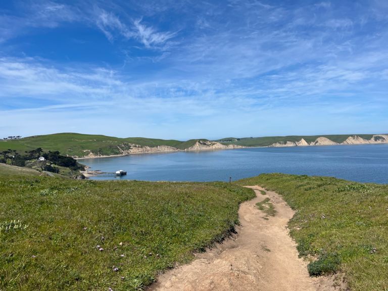
| Mt Vision Rd Climb | 1.16 mi | 623 ft | 10.1% |
| Perth Climb Proper to Top of Mt Vision | 1.32 mi | 732 ft | 10.4% |
| Pt Reyes station to olema TT | 1.76 mi | 52 ft | 0.5% |
| Olema Hill (Olema side) | 1.10 mi | 315 ft | 5.3% |
| The steepest part | 0.26 mi | 108 ft | 7.7% |
| First Five | 5.01 mi | 315 ft | 0.3% |
| downhill from Olema ridge | 0.54 mi | -243 ft | -8.5% |
| Samuel Taylor State Park | 5.19 mi | 112 ft | 0.3% |
| Tocaloma to SPT | 3.66 mi | 79 ft | 0.4% |
| Tocaloma to Jewell | 1.45 mi | 16 ft | 0.2% |
| Sir Francis Drake Bridge to Bridge Eastbound | 1.26 mi | 52 ft | 0.5% |
| Lagunitas-Two Bird TT | 1.97 mi | 79 ft | 0.7% |
| Mmmm...Beer (White's Hill to Gestalt Haus) | 3.28 mi | -479 ft | -1.9% |
| Whites (just the tip) | 0.22 mi | 85 ft | 7.0% |
| White's Hill Good DH Only | 0.89 mi | -374 ft | -7.9% |
| White's Hill Summit to Fairfax | 2.14 mi | -446 ft | -3.9% |
| White's Hill Descent | 1.07 mi | -328 ft | -5.8% |
| Baywood Canyon to Fairfax DT | 1.61 mi | -102 ft | -1.2% |
| Fairfax town center sprint | 0.62 mi | -20 ft | -0.4% |
| Center Blvd | 1.13 mi | -46 ft | -0.8% |
| Center Ave, from Pastori to San Anselmo Ave. | 0.33 mi | -13 ft | -0.8% |
| Anderson Dr. Climb | 0.42 mi | 82 ft | 3.6% |
| Pt. Molate Bump Southbound | 0.28 mi | 46 ft | 3.1% |
| S Garrard Blvd Climb | 0.35 mi | -16 ft | -0.1% |
| Bayview Bridge to Dog Park Bridge (Tree) Sprint | 0.49 mi | 3 ft | 0.0% |
| Bay Trail- Central to Buchanan | 0.89 mi | -7 ft | -0.1% |
| Costco to Race Track Bay Trail Sprint | 0.56 mi | 23 ft | 0.2% |
| Screaming Train | 0.15 mi | 3 ft | 0.2% |