+ 76
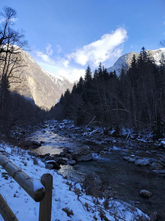
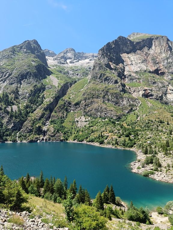
[L2ATrail] HIVER ❄️ - Le Lauvitel 🔵 #15
小徑跑步路線
困難
12.2 公里
844 公尺
路線和海拔
路段
| 名稱 | 距離 | 海拔差異 | 平均坡度 |
|---|---|---|---|
| Bas télécabine > Danchère | 3.75 公里 | 120 公尺 | 1.0% |
| [PM24] Le Lauvitel 🔵 #15 | 11.78 公里 | -618 公尺 | 0.0% |
| La Danchère par l'Argentière | 1.62 公里 | 75 公尺 | 3.6% |
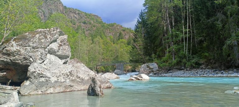
| D530 Veneon Bridge to Danchere/Escalons trail split. South river | 1.84 公里 | 62 公尺 | 2.6% |
| [DM23] La Danchère | 0.65 公里 | 38 公尺 | 5.3% |
| Danchere - Lauvitel | 2.57 公里 | 509 公尺 | 19.4% |
| Ecrins 🏔️ : Danchère -> Lac Lauvitel ↗️↗️ | 2.32 公里 | 510 公尺 | 21.9% |
| montée lac leauvitel | 1.77 公里 | 394 公尺 | 22.2% |
| [L2ATrail] Le Lauvitel | 2.14 公里 | 495 公尺 | 23.1% |
| [L2ATrail] Descente du Lauvitel | 2.11 公里 | -494 公尺 | -23.4% |
| du Lauvitel à la Danchère | 2.58 公里 | -513 公尺 | -19.8% |
| A bloc | 0.80 公里 | -112 公尺 | -13.9% |
| L'échappatoire du Vénéon (balisage rose & vert) | 0.25 公里 | 50 公尺 | 11.9% |
| Montée de la Route du Bourg | 1.09 公里 | 58 公尺 | 5.3% |