| Hornsea Freeport ⇨ Aldbrough | 5.69 英里 | 36 呎 | 0.0% |
| Hornsea - Mappleton | 1.86 英里 | 30 呎 | 0.1% |
| Mappleton - Aldbrough | 3.65 英里 | -36 呎 | -0.1% |
| Last lap | 0.71 英里 | -16 呎 | -0.1% |
| Mappleton to Aldbrough | 3.61 英里 | -33 呎 | -0.1% |
| Cowden Wiggle | 1.55 英里 | -23 呎 | -0.1% |
| parva sprint | 0.35 英里 | -10 呎 | -0.2% |
| Down n up | 0.30 英里 | -33 呎 | -0.6% |
| Aldbrough to Hilston Junction | 4.13 英里 | -33 呎 | -0.1% |
| Blast out of aldbrough | 1.97 英里 | -33 呎 | -0.2% |
| Hilston southward | 2.17 英里 | 30 呎 | 0.2% |
| Tunstall Straight | 1.08 英里 | -39 呎 | -0.4% |
| Southfield Lane | 0.75 英里 | -36 呎 | -0.8% |
| Col de Waxholme | 0.51 英里 | 49 呎 | 1.8% |
| Waxholme Rd Up & Down | 0.76 英里 | -26 呎 | -0.2% |
| down to the park H/C | 0.48 英里 | -20 呎 | -0.7% |
| Withernsea - Halsham | 4.57 英里 | -72 呎 | -0.1% |
| Cemetry Gates | 0.26 英里 | -30 呎 | -0.2% |
| second biggest hill in england | 0.15 英里 | 33 呎 | 3.5% |
| straight to dalton lane | 3.09 英里 | -75 呎 | -0.3% |
| Short n sharp | 2.01 英里 | 33 呎 | 0.3% |
| Flat Sprint | 0.30 英里 | -13 呎 | -0.8% |
| Ridgmont House | 1.00 英里 | 30 呎 | 0.3% |
| Greens Lane heading North | 1.41 英里 | -16 呎 | -0.0% |
| burton pidsea to humbleton | 2.29 英里 | 16 呎 | 0.1% |
| Humbleton to Sproatley | 2.45 英里 | 56 呎 | 0.4% |
| Long Lane Climb | 0.61 英里 | 7 呎 | 0.0% |
| Sproatley finish | 0.53 英里 | 26 呎 | 0.9% |
| Sproatley to A165 | 2.94 英里 | -39 呎 | -0.2% |
| Sproatley to Swine Road | 5.40 英里 | -56 呎 | -0.1% |
| The Thirtleby Flyer | 2.62 英里 | -43 呎 | -0.3% |
| Flat out to Coniston | 0.44 英里 | -3 呎 | -0.1% |
| coni to Swine | 1.42 英里 | -36 呎 | -0.5% |
| Swine to Arnold (Bay Horse Pub) | 4.31 英里 | 26 呎 | 0.0% |
| Swine to turn | 0.93 英里 | 20 呎 | 0.2% |
| Dancing the hard way | 0.51 英里 | 20 呎 | 0.6% |
| Turn to Benningholme lane | 1.37 英里 | -16 呎 | -0.0% |
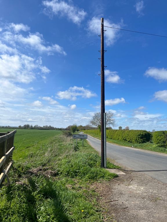
| You Utter Swine | 0.35 英里 | 16 呎 | 0.3% |
| Benningholme Hall Straight | 0.90 英里 | 20 呎 | 0.0% |
| Arches to Pub | 1.46 英里 | 16 呎 | 0.1% |
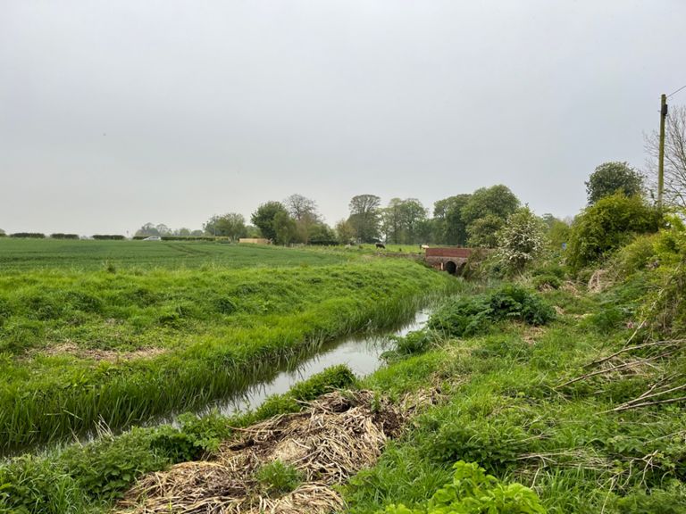
| lambwath stream to long riston | 1.70 英里 | 23 呎 | 0.2% |
| whins lane | 1.41 英里 | 13 呎 | 0.2% |
| up up and away | 0.30 英里 | 7 呎 | 0.5% |
| Wassand Balk Sprint (⇨) | 0.52 英里 | -10 呎 | -0.2% |
| Wassand Balk TT | 3.25 英里 | -20 呎 | -0.0% |
| Goxhill | 1.87 英里 | 23 呎 | 0.1% |
| Hole 6 Sprint! | 0.35 英里 | 10 呎 | 0.2% |
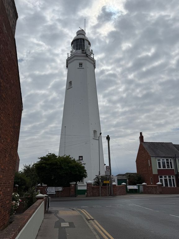
| Hornsea Bridge Sprint | 0.77 英里 | -43 呎 | -1.0% |
| Hornsea Mere down hill | 0.60 英里 | -43 呎 | -1.3% |
| i will do 30mph | 0.14 英里 | -30 呎 | -3.9% |