
Canal Run: 10-Mile Run/Walk
跑步路线
比较轻松
16.09公里
77米
Canal Run is held annually during the third weekend of July.
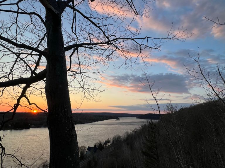
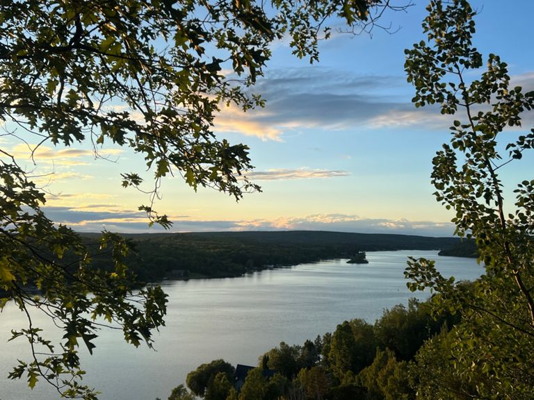
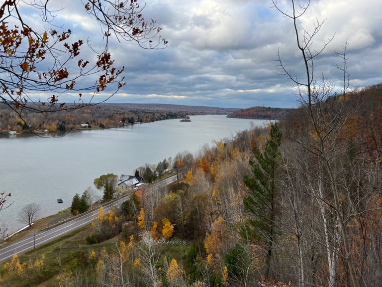
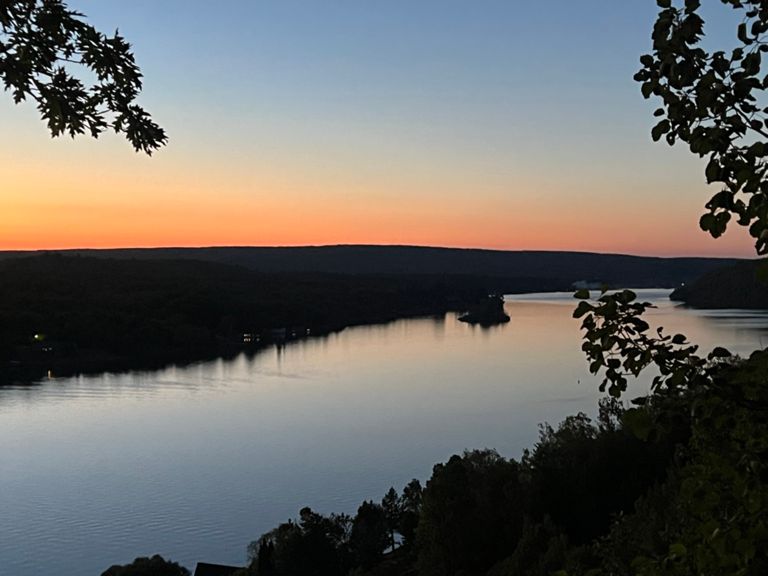
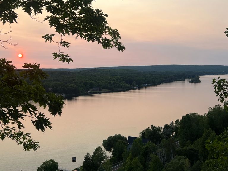
The 10-mile run/walk ("The Canal Run") starts in McLain State Park, follows M-203 to Hancock, and finishes in front of Quincy Green in Downtown Hancock.
The 10-mile run/walk ("The Canal Run") starts in McLain State Park, follows M-203 to Hancock, and finishes in front of Quincy Green in Downtown Hancock.
路线和海拔
路段
| 名字 | 距离 | 海拔高度差 | 平均坡度 |
|---|---|---|---|
| US » MI » M-203 » Bear Lake Rd x Coast Guard Rd → Waasa Rd | 1.83公里 | 11米 | 0.0% |
| US » MI » M-203 » Waasa Rd → Christensen Rd | 3.20公里 | -7米 | -0.2% |
| Boston Creek to High Point Rd | 3.90公里 | 8米 | 0.0% |
| US » MI » M-203 » Christensen Rd → High Point Rd | 1.95公里 | 6米 | 0.2% |
| Look! It's the Portage! | 1.12公里 | 2米 | 0.2% |
| US » MI » M-203 » High Point Rd → Brooks (Steve Shmunk) Rd | 1.61公里 | -6米 | -0.0% |
| US » MI » M-203 » Brooks (Steve Shmunk) Rd → Hancock Campground | 3.27公里 | 12米 | 0.3% |
| US » MI » M-203 » Hancock Campground → US-41 x M-203 | 2.13公里 | 29米 | 0.7% |
| Climb That Hill! | 2.21公里 | 31米 | 1.0% |