

Bruce 🦩
Trail Running Route
Moderate
12.72 km
429 m
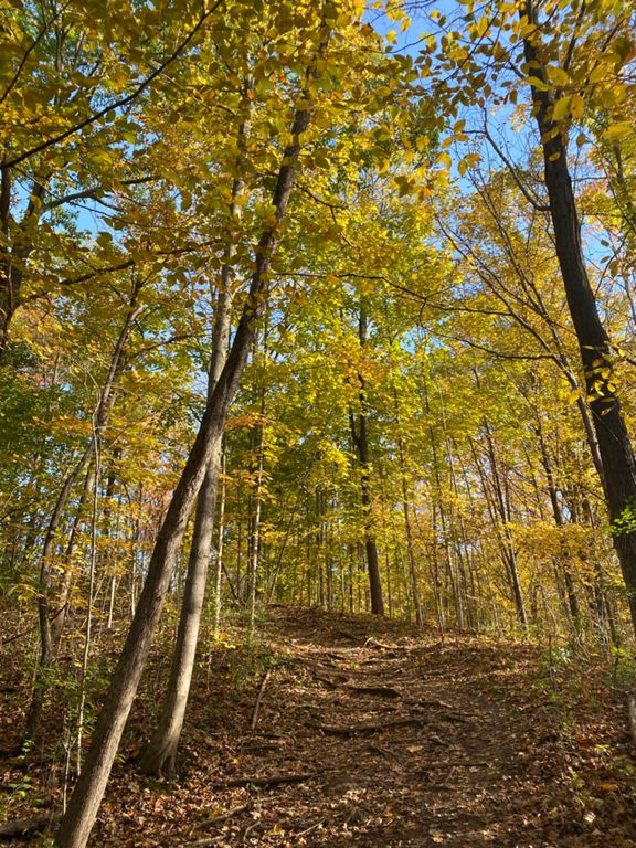
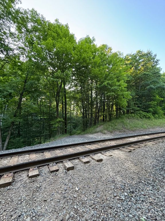
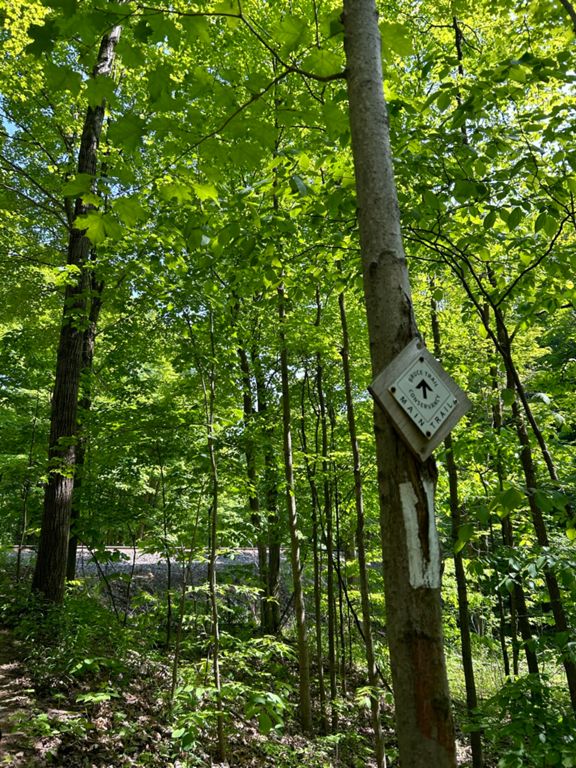
I chose this route because it’s a technical section of the Bruce Trail that remains easily accessible to anyone living in the Greater Toronto Area. The trail winds up and down the Niagara Escarpment, offering a mix of challenging climbs and rugged, single-track rocky terrain. As the longest marked hiking trail in Canada, the Bruce Trail spans 890 kilometers, stretching from Tobermory in the north to Queenston at the Canada–U.S. border.
Bruce is perched overlooking Hamilton Harbor and the elbow of Lake Ontario (43.307416367662896, -79.91150867820681). Trail runners and hikers should be mindful of poison ivy along this route.
Bruce is perched overlooking Hamilton Harbor and the elbow of Lake Ontario (43.307416367662896, -79.91150867820681). Trail runners and hikers should be mindful of poison ivy along this route.
Route and Elevation
Segments
| Name | Distance | Elev. Diff. | Avg. Grade |
|---|---|---|---|
| Valley Rd Climb | 0.91 km | 47 m | 5.1% |
| Valley Road - Rock & Roll Ascent | 0.74 km | 64 m | 8.7% |
| Mall to Snake Road | 1.84 km | -32 m | -1.6% |
| Valley Road - Rock & Roll Descent | 0.38 km | -52 m | -13.3% |
| Borer's Descent | 0.64 km | -54 m | -8.3% |