| Dish entrance to Page Mill | 0.35 mi | -13 ft | -0.5% |
| Old Page Mill Road | 0.83 mi | 69 ft | 1.2% |
| Page Mill - Arastradero to Moody | 2.51 mi | 679 ft | 5.1% |
| Page Mill - Arastradero to Altamont | 1.91 mi | 495 ft | 4.9% |
| Page Mill Road (Low-Key Hillclimbs) | 8.30 mi | 1,985 ft | 4.5% |
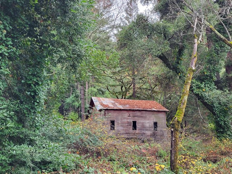
| The story of us. Page one | 0.85 mi | 92 ft | 2.0% |
| Page Mill - First Half | 2.42 mi | 837 ft | 6.5% |
| Page Mill - Alexis to Via Ventana | 0.47 mi | 197 ft | 7.9% |
| Page Mill: Altamont to FH 01 (500ft ascend) | 1.32 mi | 456 ft | 6.5% |
| partial page mill - palo alto town sign to that one plateau | 2.47 mi | 925 ft | 7.0% |
| Page Mill - Park Entrance to Moody | 0.21 mi | 112 ft | 9.7% |
| Page Mill - Foothills Park climb past Moody | 0.44 mi | 223 ft | 9.4% |
| Page Mill - Moody to Montebello Open Space | 4.39 mi | 1,257 ft | 5.4% |
| Page Mill - Moody to Gate 3 | 1.49 mi | 436 ft | 5.5% |
| Page Mill (SW): Moody → DeathSnake | 0.95 mi | 243 ft | 4.4% |
| Page Mill—Moody to drinking fountain | 3.94 mi | 1,175 ft | 5.6% |
| Page Mill - Gate 2+ to Gate 4 | 1.08 mi | 551 ft | 9.6% |
| Lyresa's Sprint | 0.10 mi | 49 ft | 8.9% |
| Page Mill—Naked Lady (Gate 3 to Gate 4) | 0.63 mi | 318 ft | 9.3% |
| Page Mill - Gate 4 to Skyline | 3.61 mi | 538 ft | 2.3% |
| Page Mill - Monte Bello Rd Climb | 0.74 mi | 282 ft | 7.2% |
| Page Mill - Last steep bump at Los Trancos | 0.16 mi | 92 ft | 10.5% |
| Page Mill Climb, Final Mile to Skyline | 1.04 mi | -98 ft | -0.1% |
| Page Mill to Skyline -- Final Sprint Climb | 0.45 mi | 75 ft | 3.1% |
| Skyline - Page Mill to Hwy 9 | 6.39 mi | 568 ft | 1.1% |
| Skyline - Final SB climb N of Hwy 9 | 0.83 mi | 279 ft | 6.4% |
| Hwy 9 Descent-Skyline to 236 | 6.13 mi | -1,375 ft | -4.2% |
| Full Bear Creek (9 to 35) | 9.10 mi | 1,660 ft | 3.3% |
| Bear Creek Road | 3.10 mi | 2,631 ft | 0.0% |
| Bear Creek Rd: Bear Creek Canyon to Skyline | 3.85 mi | 1,086 ft | 4.9% |
| 35 - Bear Creek to Summit | 7.25 mi | 1,024 ft | 2.6% |
| Skyline - Gist | 2.38 mi | 256 ft | 0.8% |
| First NB hill after bear creek before xmas farm | 0.29 mi | 171 ft | 10.9% |
| Sklyine - Green Forrest to Black | 1.48 mi | 213 ft | 2.7% |
| Las Cumbres to Castle Rock | 1.62 mi | 2,631 ft | 0.0% |
| Skyline - Castle Rock to CA-9 | 2.86 mi | -466 ft | -3.1% |
| Hwy 9 Descent - Skyline to Redwood Gulch | 3.01 mi | -1,099 ft | -6.9% |
| Skyline - Steven Canyon - stop sign | 5.88 mi | -1,975 ft | -6.4% |
| Redwood Gulch Descent | 1.18 mi | -646 ft | -10.3% |
| Stevens Cyn Rd - Redwood Gulch to Mt Eden (shorter version) | 1.27 mi | -207 ft | -3.1% |
| Stevens Canyon Rd - Canyon Picnic Parking Lot to Reservoir Parking Lot | 1.81 mi | -43 ft | -0.2% |
| Northern Steven's Canyon TT (short version) | 2.96 mi | -141 ft | -0.8% |
| Sprint from Steven's Canyon - Montebello to McClellan | 1.73 mi | -138 ft | -1.4% |
| Stevens Creek Dam to Foothill Bump | 2.43 mi | -197 ft | -1.4% |
| Stevens Canyon Sprint from past parking lot to top of hill | 0.82 mi | -85 ft | -1.8% |
| Thursday Night Sprint | 0.34 mi | -16 ft | -0.6% |
| Foothill: Stevens Creek to Cristo Rey Dr. Sprint. | 0.60 mi | -36 ft | -0.8% |
| Foothill Stevens Creek to Homestead | 1.07 mi | -115 ft | -2.0% |
| Foothill Homestretch Hill Sprint | 0.14 mi | 10 ft | 1.1% |
| PV Sprint for coffee | 0.30 mi | -30 ft | -1.4% |