


+ 5
2025 Ramble 50 Mile Route
Cycling Route
Details
51.14 mi
3,019 ft
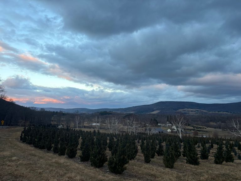
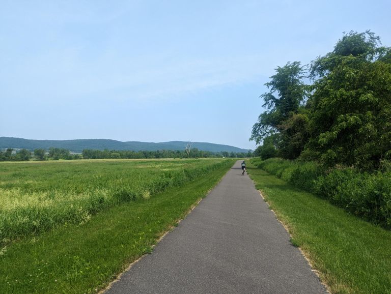
For experienced riders, this is our premier Ramble ride through the Roe Jan area's three towns: Ancram, Copake & Hillsdale, NY. Some challenging hills, but the climbs are rewarded with impressive vistas. Includes segments of the Harlem Valley Rail Trail.
Created By
Roe Jan Ramble Bike Tour

Route and Elevation
Segments
| Name | Distance | Elev. Diff. | Avg. Grade |
|---|---|---|---|
| Orphan Farm Up sprint | 0.57 mi | 69 ft | 2.2% |
| N Mountain Rd Climb from HVRT | 1.44 mi | 282 ft | 3.7% |
| Beautiful View Mc. Sufferfest. | 1.26 mi | 259 ft | 3.6% |
| Down North Mountain Rd. | 1.28 mi | -331 ft | -4.9% |
| Yonderview | 1.99 mi | 180 ft | 1.2% |
| South Section of Hunt Rd. | 1.49 mi | -148 ft | -1.9% |
| The Other Overlook of Hillsdale | 0.52 mi | 180 ft | 6.5% |
| Twin Bridge- Center Hill Descend | 0.52 mi | -180 ft | -6.5% |
| Empire Sprint (Southbound) | 2.97 mi | -46 ft | -0.2% |
| Empire Groove going south | 1.23 mi | -36 ft | -0.3% |
| Empire Rd. South Bound | 0.71 mi | -26 ft | -0.6% |
| Annoying bump | 0.33 mi | 112 ft | 6.3% |
| Crest Ln - Westbound | 1.35 mi | -161 ft | -2.0% |
| Ancram - From CR7 to CR27 via CR27A | 1.99 mi | 85 ft | 0.8% |
| County Route 27 (West to East) | 0.27 mi | 112 ft | 7.7% |
| Snyder Pond (S-to-N) | 1.16 mi | 39 ft | 0.3% |