


+ 95
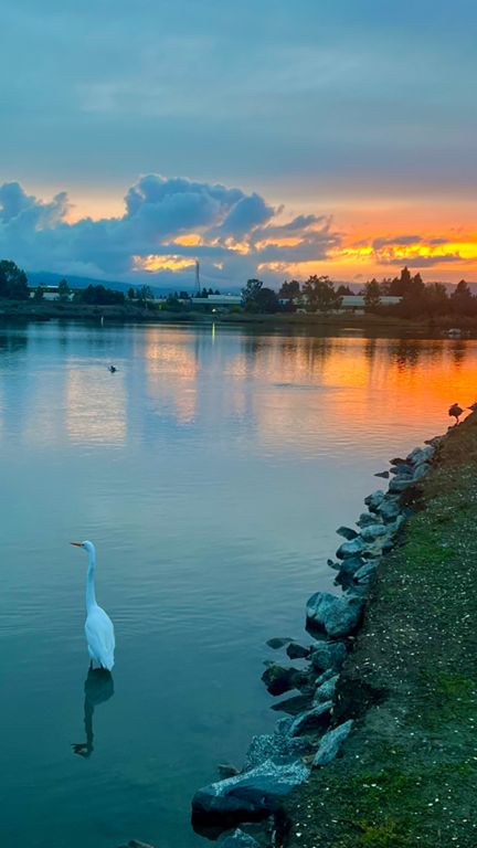
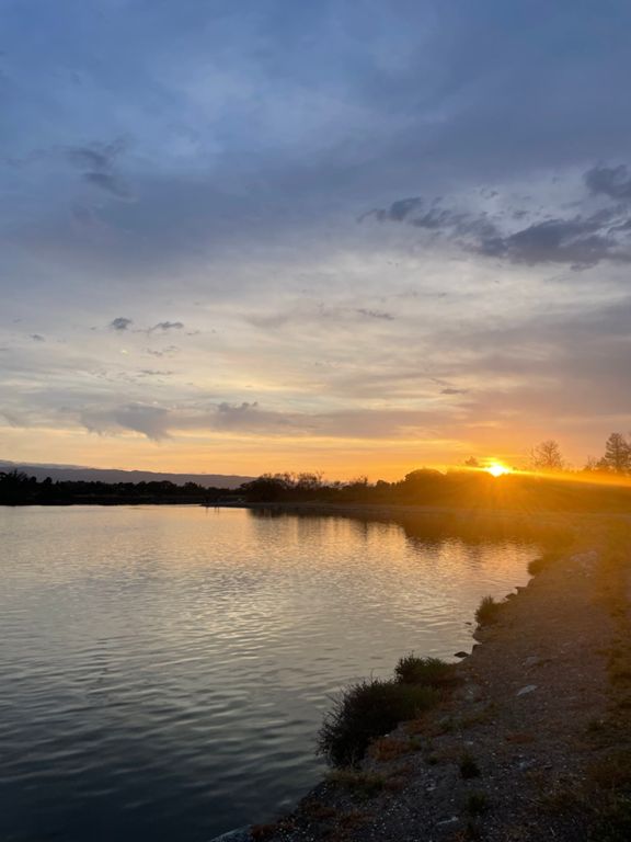
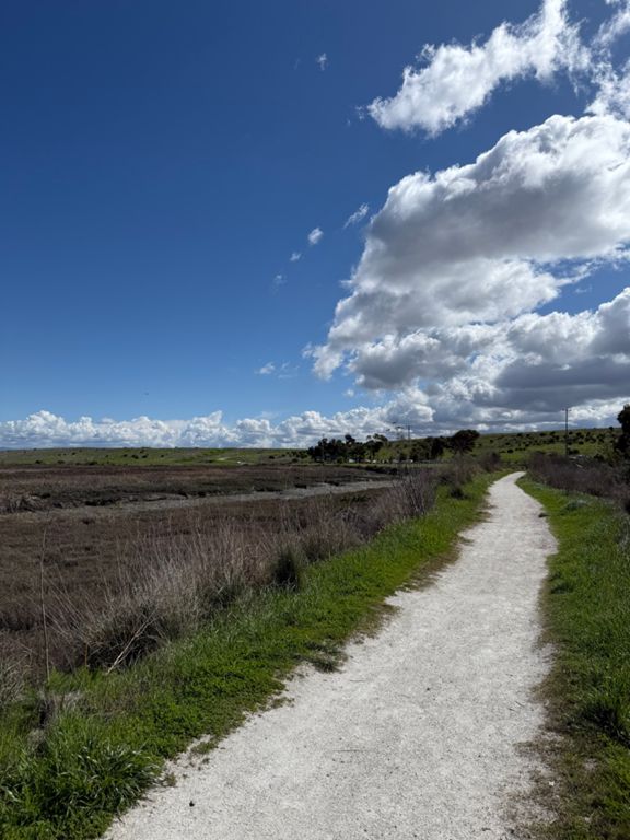
Shoreline-Bloop-21k
跑步路線
適中
21.66 公里
5 公尺
路線和海拔
路段
| 名稱 | 距離 | 海拔差異 | 平均坡度 |
|---|---|---|---|
| Shoreline Lake North Side (Westbound) | 0.79 公里 | -3 公尺 | -0.3% |
| shoreline Dirt Track (west) | 0.41 公里 | -5 公尺 | -0.3% |
| Baylands - house to Byxbee trail split | 3.60 公里 | 3 公尺 | 0.0% |
| Charleston Slough 1mi | 1.63 公里 | -5 公尺 | -0.1% |
| Baylands - Interrelationships sign to parking lot | 2.37 公里 | -2 公尺 | -0.1% |
| PR - Final Turn to finish line | 0.51 公里 | -5 公尺 | -0.7% |
| Rainbow Bridge to Runnymede Pier Trailhead | 0.80 公里 | -1 公尺 | -0.0% |
| Runnymede Pier Trailhead to Rainbow Bridge | 0.81 公里 | 2 公尺 | 0.1% |
| PR - Start line to first turn | 0.38 公里 | 3 公尺 | 0.6% |
| Mayfield Slough | 2.53 公里 | 5 公尺 | 0.0% |
| Matadero Mile South | 1.55 公里 | -1 公尺 | -0.0% |
| Adobe Creek to footbridge | 1.11 公里 | 2 公尺 | 0.0% |
| Baylands - Bayshore to Charleston Slough | 0.58 公里 | 2 公尺 | 0.0% |
| Shoreline Lake North Side (Eastbound) | 0.77 公里 | 2 公尺 | 0.1% |
| Shoreline Lake Dirt Path | 0.39 公里 | 1 公尺 | 0.2% |