
+ 19
Kilbride Cyclists Charity Challenge
骑行路线
详情
55.97英里
3,849英尺
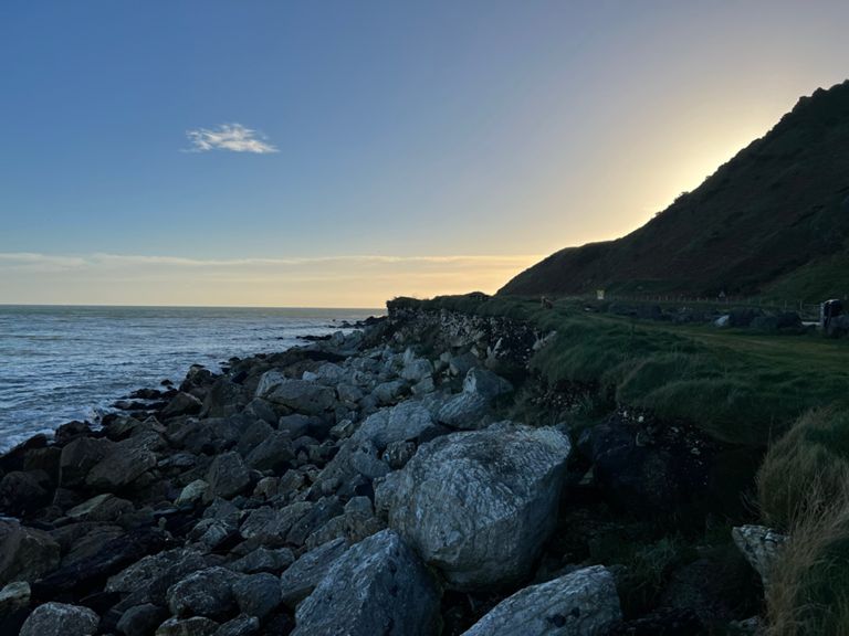
Leisure cycle with some testing climbs
创建者
dave hoy

路线和海拔
路段
| 名字 | 距离 | 海拔高度差 | 平均坡度 |
|---|---|---|---|
| Col de Windmills | 2.94英里 | 394英尺 | 2.5% |
| Breckenhil Rdl - Tildarg Rd Climb | 3.50英里 | 443英尺 | 2.4% |
| Breckenhill climb | 1.97英里 | 272英尺 | 2.6% |
| tildarg rd | 2.41英里 | -154英尺 | -0.5% |
| speerstown road | 2.35英里 | -226英尺 | -1.6% |
| Scottstown - Craigdoo | 1.10英里 | 184英尺 | 3.0% |
| scottstown road drag | 0.37英里 | 121英尺 | 6.1% |
| Knockan espresso | 1.15英里 | 154英尺 | 2.5% |
| Longmore Rd Climb | 1.51英里 | 302英尺 | 3.8% |
| Lisles hill to lough road | 1.29英里 | 249英尺 | 3.6% |
| Lisles Hill Road Climb | 2.98英里 | 341英尺 | 2.2% |
| BIBR Medio Fondo decent to Glenarm | 4.10英里 | -663英尺 | -2.9% |
| Munie Rd from Lisles Rd | 2.86英里 | -472英尺 | -3.1% |
| glarnarm drum | 3.45英里 | 148英尺 | 0.1% |
| Coast Road Climb | 0.50英里 | 299英尺 | 10.9% |
| Glenarm - Ballyeaston | 17.71英里 | 456英尺 | 0.4% |
| Drum climb | 0.66英里 | 148英尺 | 4.2% |
| Ballymullock Road Climb | 1.30英里 | 561英尺 | 8.2% |
| Deer park road | 1.00英里 | -85英尺 | -0.9% |
| Lower ballyboley rd to lismenary | 2.67英里 | 52英尺 | 0.0% |
| Ballyboley climb | 0.65英里 | 89英尺 | 2.5% |
| Lower Ballyboley - Ballyeaston Climb | 0.77英里 | 118英尺 | 2.8% |
| Ballyeaston Climb | 0.11英里 | 36英尺 | 5.8% |
| The Orpins Mill Sprint | 0.89英里 | -72英尺 | -1.4% |
| Burnside 30 Sprint | 0.26英里 | -30英尺 | -1.8% |