route-highlight
route-highlight
route-highlight
route-highlight
route-highlight
route-highlight
+ 18

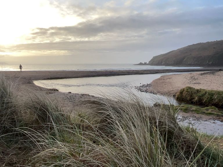
Aces new route 56 - 27.5 mile route Cosheston, Stackpole, Fresh East

自行車路線

詳細資訊
27.59 英里
1,770 呎
TLC, Gumfreston, MIlton, Cosheston, Myletts Hill, Pembroke, St Daniels Hill, turn left to Stackpole church, up Fresh East hill, down to Lamphey, then coast road back to TLC
建立者:
John Hubbard

路線和海拔

路段

名稱距離海拔差異平均坡度
Tenby to Sageston.4.05 英里213 呎0.1%
Tenby to Coal Lane B43183.58 英里236 呎0.5%
Gumfreston Full1.10 英里223 呎3.8%
Gumfreston part 10.33 英里135 呎7.5%
Gumfreston Part 20.60 英里72 呎2.3%
Heatherton - Sageston Roundabout Blast2.45 英里-167 呎-1.3%
back to the van1.60 英里-105 呎-1.2%
Sageston to Carew Roundabout dash0.78 英里-36 呎-0.5%
Milton to Cosheston Climb1.01 英里174 呎3.2%
Paskeston Road Climb0.25 英里79 呎6.0%
Climb from Cosheston Pill0.17 英里49 呎5.4%
A477 Climb0.30 英里495 呎30.5%
Mylets Hill0.74 英里164 呎4.3%
Myrell's Hill (South)0.51 英里141 呎5.2%
Buttermilk0.46 英里-39 呎-1.3%
Down Bush Hill0.39 英里-125 呎-6.0%
down bush hill safely0.37 英里-125 呎-6.2%
Mill Pond Mash Up0.19 英里23 呎0.1%
Get Off The Bridge!!0.06 英里30 呎8.5%
St Daniels hill to Kingsfold1.06 英里207 呎3.7%
The Dipper0.46 英里-98 呎-0.2%
Down to Fresh East0.81 英里-240 呎-5.4%
Trewent to Fresh0.52 英里-177 呎-6.3%
freshwater east0.61 英里240 呎7.2%
Portclew Rd Climb0.62 英里276 呎8.3%
Fresh East to Lamphey 2.19 英里262 呎0.5%
Freshwater East Hill0.51 英里226 呎8.2%
Lamphey Descent1.04 英里-207 呎-3.7%
Lamphey to Hodgeston1.25 英里-36 呎-0.2%
Lamphey to Manorbier3.61 英里157 呎0.6%
Lamphey to TLC8.17 英里-230 呎-0.1%
Chevrons to Jameston lay-by0.71 英里105 呎2.8%
Manobier hill 0.26 英里75 呎5.5%
The Gate Manorbier to Kiln Park Rise3.31 英里-213 呎-0.9%
Lydstep to Penally descent1.89 英里-171 呎-1.7%
Lydstep to Penally2.18 英里-177 呎-1.5%
Penally camp lead out!1.70 英里-66 呎-0.3%
Kiln Park 1-Pimple Sprint1.64 英里-56 呎-0.2%
Penally Strait0.88 英里-10 呎-0.1%
Penally-Tenby ramp0.45 英里52 呎1.8%