活動
最常做的運動
跑步
騎車
步行
健行
跑步
騎車
功能
地圖
挑戰
訂閱版
登入
免費加入
註冊
首頁
活動
跑步
騎車
步行
健行
功能
地圖
挑戰
訂閱版
支援
註冊
登入
取得應用程式
+ 143
Lieblingstour München #01
自行車路線
儲存
分享
詳細資訊
131.02 公里
1,419 公尺
建立者:
Christopher (Lieblingstourer)
2016年3月6日
·
公開
路線和海拔
路段
名稱
距離
海拔差異
平均坡度
Zentralländstrasse N-->S
1.57 公里
2 公尺
0.1%
0.57 公里
21 公尺
3.7%
Heilmann Upper
0.90 公里
17 公尺
0.8%
Pullach to Höllriegelskreuth
4.96 公里
42 公尺
0.8%
JBW N->S
0.84 公里
23 公尺
0.8%
Zugspitzstrasse fun
1.53 公里
15 公尺
1.0%
Buchenhain-GelbesHaus
2.31 公里
-11 公尺
-0.4%
Forstenrieder Park West
3.24 公里
-21 公尺
-0.6%
Ludwigs-Sprint
0.26 公里
6 公尺
1.9%
Olypiastrasse to Oberdill
3.67 公里
28 公尺
0.8%
Olympiastrasse - Leutstetten
2.94 公里
13 公尺
0.4%
Olympiastrasse - Waldsprint
1.76 公里
24 公尺
0.9%
Mühltalserpentine
0.82 公里
35 公尺
4.3%
Mühltalsprint
2.32 公里
61 公尺
2.6%
Vorbei am Gut Rieden
1.85 公里
23 公尺
0.8%
Hanfeld-sprint
0.85 公里
32 公尺
3.7%
Söcking - Hadorf
2.72 公里
-33 公尺
-1.1%
Hadorf - Unering
2.83 公里
-18 公尺
-0.0%
Drößling - Frieding
1.25 公里
13 公尺
1.0%
Frieding - STA3
3.97 公里
32 公尺
0.8%
Monatshausen - Diemendorf
2.10 公里
-56 公尺
-2.7%
Eizenberger Weiher
2.28 公里
22 公尺
0.7%
Iffeldorf - Quarzbichl
5.52 公里
37 公尺
0.1%
Promberg Climb
0.91 公里
21 公尺
1.8%
Anglberg
0.44 公里
36 公尺
8.1%
Rosi's Cafe nach Gelting
5.61 公里
-48 公尺
-0.8%
Gelting Zeitfahrstrecke
5.76 公里
-47 公尺
-0.8%
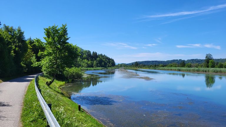
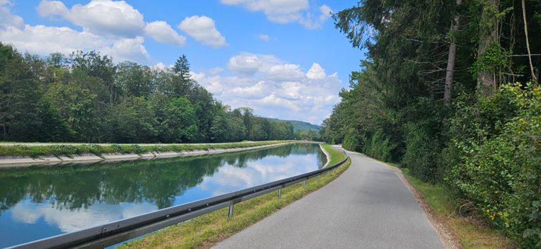
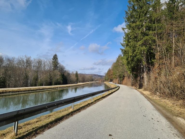
Puppliger Au - Aumühle - Isar Kanal
9.56 公里
-21 公尺
-0.1%
Isar Kanal Northgoing
6.81 公里
-21 公尺
-0.1%
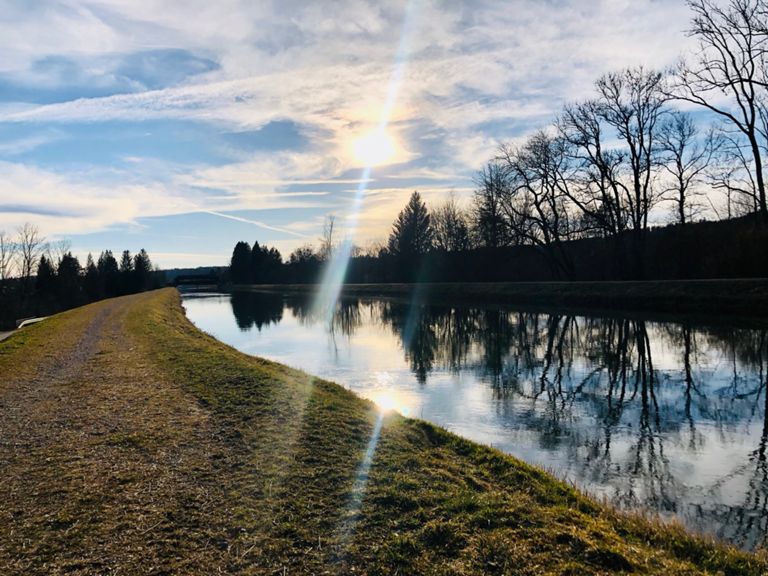
Aujäger - Aumühle
4.09 公里
-15 公尺
-0.4%
Floßrutsche retour
2.45 公里
-3 公尺
0.0%
Mühltal-Straßlach Climb
0.97 公里
66 公尺
7.9%
Straßlach Laufzorn
5.09 公里
-49 公尺
-0.6%
Römerstraße Sprint
1.27 公里
-13 公尺
-1.0%
Laufzorner Rechtskurve
1.60 公里
-10 公尺
-0.5%
Laufzornerstrasse
0.69 公里
-5 公尺
-0.7%
Perlacher Forst, S-Bahn bis Forsthaus
4.64 公里
-24 公尺
-0.5%
Perlacher Forst S/Mitte
2.77 公里
-19 公尺
-0.4%
Perlacher Forst - Middle to top
1.96 公里
-15 公尺
-0.6%
Perlach Forest Middle short
1.28 公里
-14 公尺
-0.7%
Str.
0.50 公里
-5 公尺
-0.4%
Karolingerallee zur Isar
0.31 公里
-2 公尺
-0.6%
Zoo Descent
0.64 公里
-23 公尺
-3.7%


")