+ 37
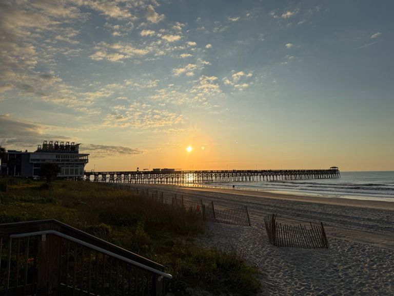
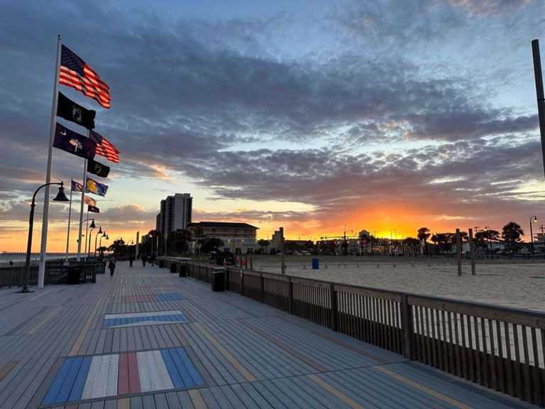
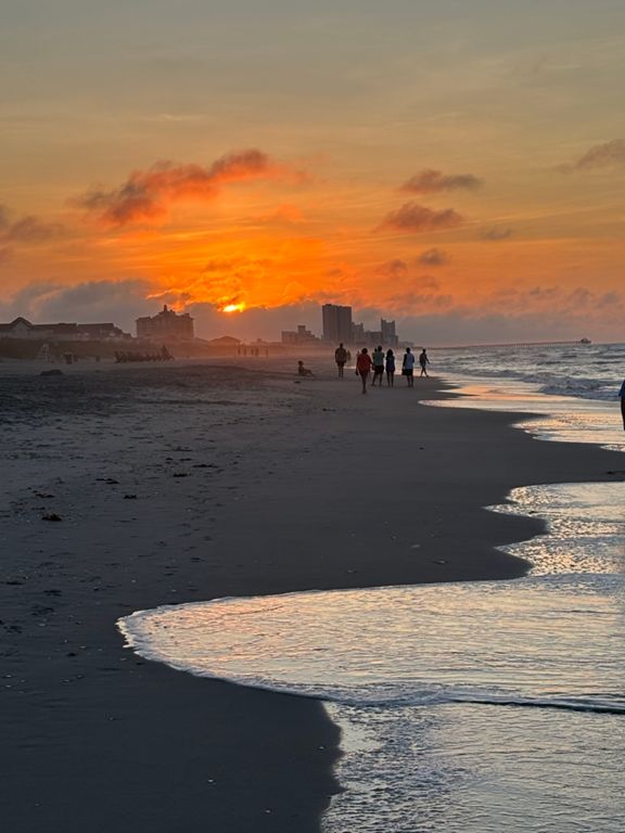
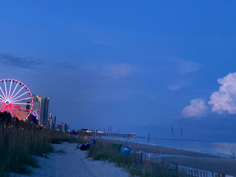
Myrtle Beach
自行車路線
詳細資訊
25.63 英里
209 呎
路線和海拔
路段
| 名稱 | 距離 | 海拔差異 | 平均坡度 |
|---|---|---|---|
| Ocean Blvd. (North) | 9.31 英里 | 33 呎 | 0.0% |
| Myrtle Beach Ocean Blvd to 17th Ave South | 1.64 英里 | -13 呎 | -0.1% |
| S Kings HWY to 76th st. | 8.81 英里 | 20 呎 | 0.0% |
| I hope I don't hit a dog with my new Trek! | 1.05 英里 | 10 呎 | 0.0% |
| Kentucky Killer | 1.59 英里 | -10 呎 | -0.1% |
| N Ocean Blvd 31st-52nd (repaved) | 1.49 英里 | -10 呎 | -0.0% |
| Ocean blvd sprint | 1.21 英里 | -10 呎 | -0.1% |
| Sprint to 77th | 0.91 英里 | 20 呎 | 0.2% |
| Cove 22 | 1.41 英里 | -13 呎 | 0.0% |
| Atlantic to North Myrtle | 2.50 英里 | -10 呎 | -0.0% |
| north myrlte straight away sprint | 1.35 英里 | 3 呎 | 0.0% |
| Hotos to Point | 2.41 英里 | 7 呎 | 0.0% |
| North Ocean Boulevard Climb | 0.40 英里 | 266 呎 | 12.5% |