| School Light to 40 | 1.96英里 | -102英尺 | -1.0% |
| PC to Kamas | 11.04英里 | -676英尺 | -0.1% |
| Utah 248 Climb | 1.08英里 | 1,414英尺 | 24.7% |
| 248 Climb | 1.32英里 | 164英尺 | 2.1% |
| UT 248 Climb (from TH) | 1.02英里 | 154英尺 | 2.8% |
| Jordanelle climb to Tuhale | 5.65英里 | 630英尺 | 1.2% |
| Looking for a Hideout | 4.08英里 | -423英尺 | -0.1% |
| UT 248 Frontage Rd to County Line | 1.02英里 | 138英尺 | 2.6% |
| Downhill to the Jordanelle | 1.74英里 | -453英尺 | -4.9% |
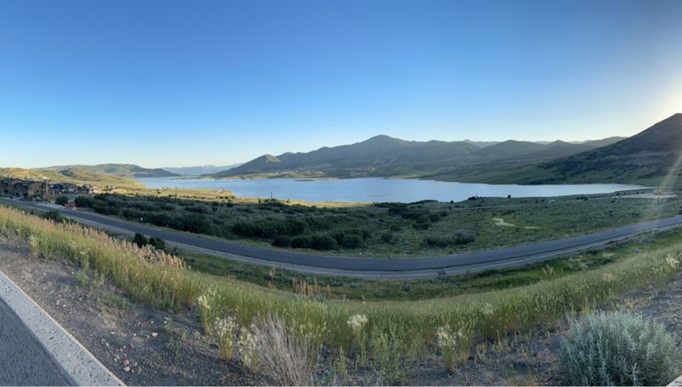
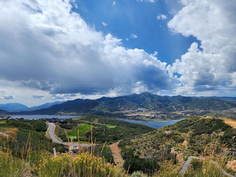
| Jordanelle Climb (Frontage Rd. Towards Kamas) | 4.40英里 | 617英尺 | 1.1% |
| Jordanelle -- just the climb | 2.97英里 | 699英尺 | 4.4% |
| Jordanelle Climb (SR 248 towards Kamas) | 2.90英里 | 610英尺 | 3.9% |
| Hideout | 2.45英里 | 577英尺 | 4.5% |
| N Ridgeway Dr Climb | 0.35英里 | 266英尺 | 14.1% |
| Down Hill 2 Kamas | 2.09英里 | -381英尺 | -3.4% |
| River Road to End of Nobblets Parking Lot | 8.34英里 | 764英尺 | 1.7% |
| Woodland Church to the Top of Wolf Creek Pass | 15.54英里 | 2,552英尺 | 3.1% |
| Bench Creek Road to Nobletts Creek | 4.23英里 | 440英尺 | 2.0% |
| Wolf Creek Provo River to Summit | 10.24英里 | 2,356英尺 | 4.4% |
| Utah 35 Climb | 1.58英里 | 266英尺 | 3.2% |
| Wolf Creek Pass from Nobletts Creek Trailhead Parking Lot | 7.52英里 | 2,005英尺 | 5.0% |
| Wolf Creek Pass | 4.84英里 | 1,598英尺 | 6.2% |
| Utah 35 Climb | 0.85英里 | 279英尺 | 6.2% |
| Utah 35 Climb | 0.86英里 | 358英尺 | 7.8% |
| Soapstone to Summit | 3.26英里 | 1,138英尺 | 6.6% |
| Highway 35 Climb | 0.81英里 | 344英尺 | 8.0% |
| Highway 35 Climb | 0.96英里 | 351英尺 | 6.9% |
| Wolf Creek Downhill | 4.80英里 | -1,499英尺 | -5.9% |
| Nobletts Creek to Bench Creek Road | 4.23英里 | -446英尺 | -2.0% |
| Woodland Time Trial | 5.68英里 | -400英尺 | -1.2% |
| hwy35 hill sprint | 0.38英里 | 46英尺 | 2.3% |
| Francis to Kamas hwy32 | 1.94英里 | -75英尺 | -0.7% |
| 248 From Kamas to Browns Canyon Entrance | 9.52英里 | 623英尺 | 0.4% |
| Grocery Store to Browns Canyon Rd | 9.43英里 | 666英尺 | 0.3% |
| Kamas to US-40 | 10.72英里 | 659英尺 | 0.3% |
| W Hwy 248 Climb | 0.91英里 | 285英尺 | 5.8% |
| Climb West of Kamas | 3.46英里 | 538英尺 | 2.9% |
| 248 west kamas climb | 3.22英里 | 614英尺 | 3.5% |
| Jordanelle Hide Out Rip it Down | 3.03英里 | -640英尺 | -4.0% |
| Tour de Park City Final Climb | 1.44英里 | 335英尺 | 4.3% |
| Full Climb back from Kamas | 1.76英里 | 417英尺 | 4.5% |
| 248 Towards Park City, Finishing Near Browns Cyn Turnoff | 1.66英里 | 381英尺 | 4.3% |
| Summit County Line from Browns Turn on | 0.39英里 | 52英尺 | 2.5% |
| 40 to Wyatt Earp Way | 1.85英里 | 115英尺 | 0.7% |