


+ 62
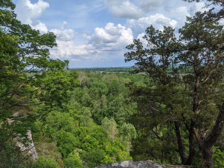
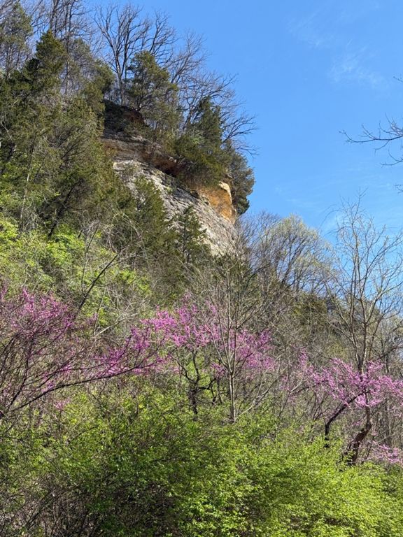
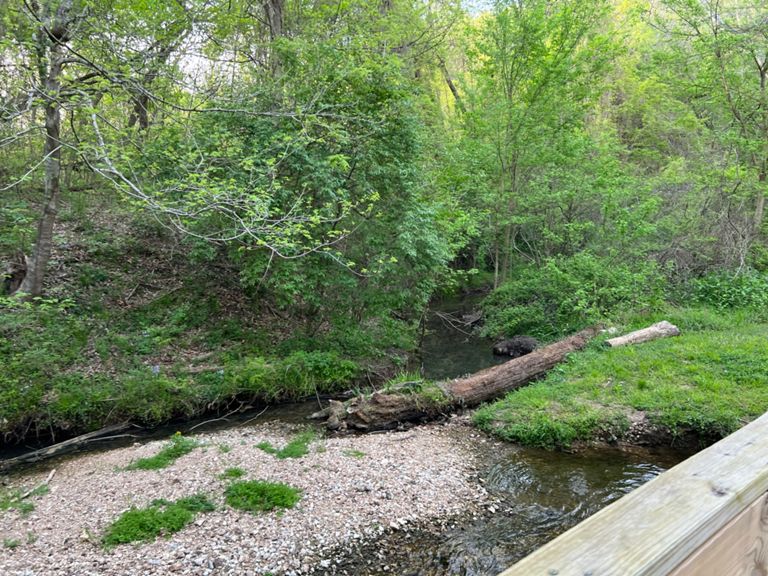
Carol's Fat Ass 2016 (high water)
跑步路线
中等
33.0英里
1,664英尺
Used if Howell Island access is limited due to river levels.
创建者
Eric Buckley

路线和海拔
路段
| 名字 | 距离 | 海拔高度差 | 平均坡度 |
|---|---|---|---|
| Howell Trail - Tunnel to Parking Lot | 0.97英里 | -52英尺 | -0.0% |
| BuckWild | 0.68英里 | -36英尺 | -0.8% |
| Research Connector to Hwy 64 on KATY Trail | 1.01英里 | 72英尺 | 0.2% |
| Boone Bridge - East (to Chesterfield) | 0.32英里 | 13英尺 | 0.5% |
| Boone Bridge - West (to Katy) | 0.38英里 | 16英尺 | 0.0% |
| Katy Trail Hwy 64 to Research Connector | 1.00英里 | -85英尺 | -0.0% |
| Parking Lot of Short Loop Cut Off | 0.54英里 | 16英尺 | 0.3% |
| Lost Valley Trail Climb | 0.65英里 | 131英尺 | 3.8% |
| Fire Road Intersection to Top of Decent - CW | 1.30英里 | -62英尺 | -0.6% |
| Clark Trail CCW | 5.26英里 | 197英尺 | 0.0% |
| Missouri Kansas Texas Railroad Climb | 0.49英里 | 164英尺 | 6.2% |
| Missouri Kansas Texas Railroad Climb | 0.44英里 | 141英尺 | 6.0% |
| Clark Never Ending Hill | 0.13英里 | 115英尺 | 15.6% |
| Up the Mound | 0.14英里 | 75英尺 | 10.3% |