| Park street bumpy blast | 0.21英里 | 13英尺 | 0.2% |
| Bishopton Bridge to Studley Lane | 0.80英里 | 98英尺 | 2.3% |
| Studley climb | 1.11英里 | 217英尺 | 3.7% |
| RE Trg Camp Hill Reps-Zone 5 + Final Sprint | 0.54英里 | 98英尺 | 3.4% |
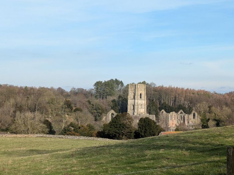
| Fountains push | 0.43英里 | 118英尺 | 4.6% |
| Last chance saloon | 0.26英里 | -85英尺 | -0.1% |
| Redwood Climb | 0.27英里 | 131英尺 | 7.2% |
| Hebden Bank | 0.26英里 | 144英尺 | 10.1% |
| Hebden Bank 150m | 0.09英里 | 82英尺 | 16.9% |
| Downhill all the way | 1.55英里 | -269英尺 | -2.8% |
| Fellbeck east to west | 1.90英里 | -190英尺 | -0.2% |
| Fellbeck ascent | 0.86英里 | 210英尺 | 4.6% |
| Straight up | 0.65英里 | 190英尺 | 5.3% |
| Elbow Climb | 2.43英里 | 194英尺 | 0.7% |
| Combs Ridge Sprint | 1.12英里 | -138英尺 | -0.5% |
| Devils Elbow Eastward | 0.15英里 | -33英尺 | -3.7% |
| Skell Gill Bank CCC | 0.37英里 | 69英尺 | 2.0% |
| Drift lane descent | 3.23英里 | -417英尺 | -2.4% |
| Dallow Moor Blast North | 1.74英里 | -144英尺 | -1.4% |
| Drovers Descent | 1.99英里 | -338英尺 | -3.2% |
| downhill mayhem | 1.31英里 | -223英尺 | -3.1% |
| KM to Grewelthorpe | 0.87英里 | 79英尺 | 1.7% |
| Hutts Ln Climb | 1.16英里 | 272英尺 | 4.5% |
| Bendy bomb sesh | 0.61英里 | -266英尺 | -8.1% |
| iton bank | 1.19英里 | -253英尺 | -3.1% |
| Sykes Wood climb | 0.28英里 | 95英尺 | 6.4% |
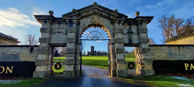
| Fish Farm to Swinton Castle | 1.96英里 | -128英尺 | -0.8% |
| Little Focker | 0.28英里 | 79英尺 | 4.4% |
| North Castle Walls | 1.31英里 | -112英尺 | -1.6% |
| Swinton Road | 0.23英里 | 39英尺 | 3.0% |
| Masham to Mucky Duck | 1.92英里 | 262英尺 | 2.6% |
| Cote Lane - Healey junction to Ellingstring cross roads | 1.87英里 | 259英尺 | 2.3% |
| Stark Bank Descent | 0.80英里 | -364英尺 | -8.6% |
| Jervaulx to East Witton | 1.44英里 | 92英尺 | 1.0% |
| Downhill to pub!! | 0.55英里 | -98英尺 | -3.3% |
| spenni loop | 1.75英里 | 161英尺 | 1.3% |
| Longdike descent | 4.10英里 | -236英尺 | -0.8% |
| Not quite so bloody dangerous! | 0.49英里 | -112英尺 | -4.3% |
| into snape | 0.58英里 | -26英尺 | -0.8% |
| Dropping into Kirklington | 1.62英里 | 30英尺 | 0.1% |
| Kirkligton hill sprint | 0.18英里 | 26英尺 | 2.6% |
| St Michaels' Church, Kirklington to Lime Lane Junction (B6267) | 0.50英里 | 26英尺 | 0.4% |
| kirk x roads to wath | 2.11英里 | -36英尺 | -0.2% |
| Sprint to Wath | 0.80英里 | -30英尺 | -0.6% |
| Main St -> A61 | 3.04英里 | 98英尺 | 0.4% |
| Conyers Climb | 1.43英里 | 105英尺 | 1.2% |
| Hutton Conyers | 0.52英里 | 102英尺 | 3.6% |
| Hutton bank from junction | 0.48英里 | 59英尺 | 1.6% |
| Red? thought so | 0.34英里 | 16英尺 | 0.1% |
| up t'ill to city centre | 0.50英里 | 52英尺 | 1.9% |