Past Month
Past Month

+ 174
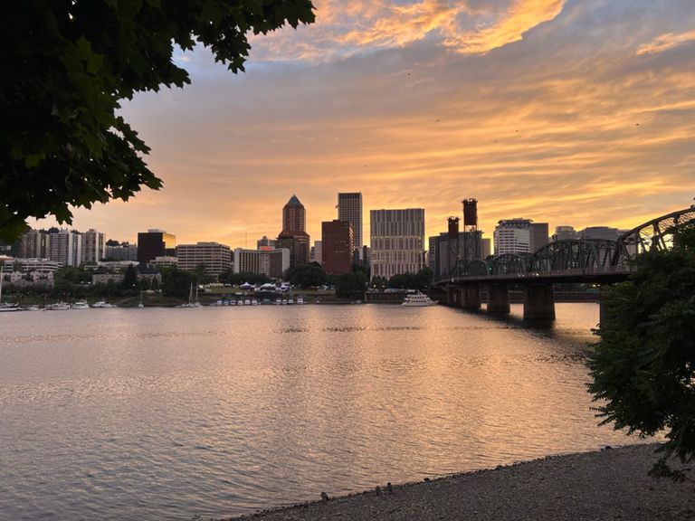
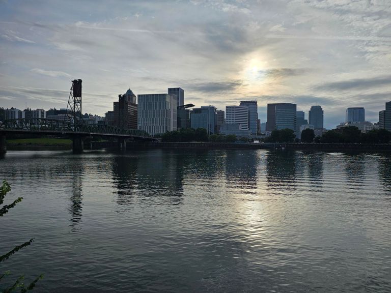
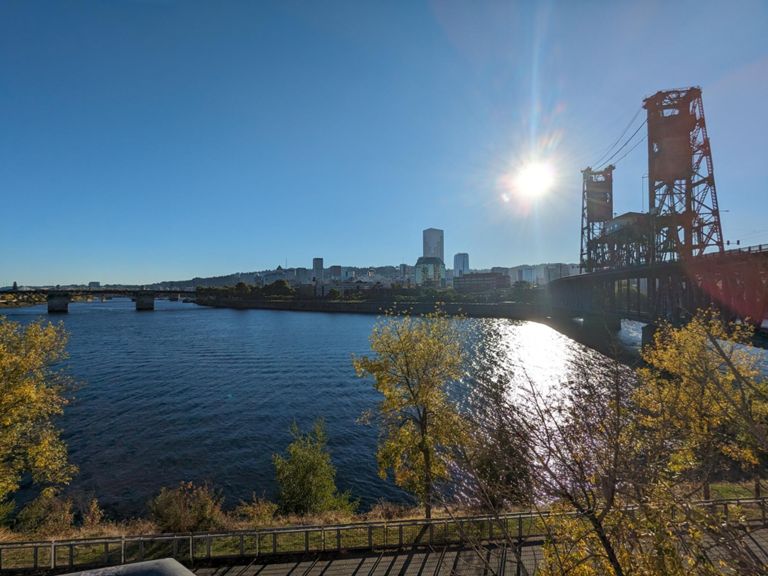
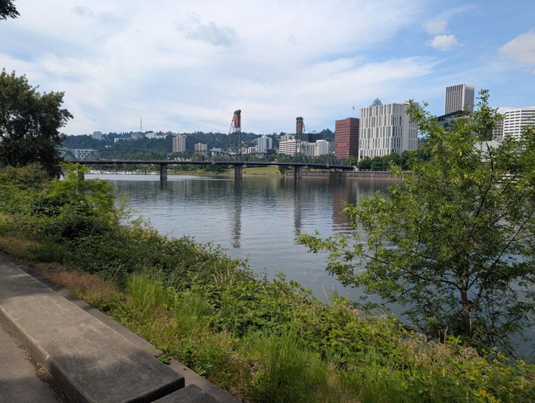
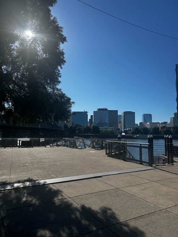
OREGON
Running Route
Easy
5.68 mi
179 ft
Created By
Strava Athlete

Route and Elevation
Segments
| Name | Distance | Elev. Diff. | Avg. Grade |
|---|---|---|---|
| WTRFRNT LOOP CW | 2.55 mi | -30 ft | 0.0% |
| Morrison to Burnside | 0.33 mi | 7 ft | 0.0% |
| from museum to steel then hawthorne loop | 2.54 mi | -30 ft | -0.0% |
| DT Portland Riverfront loop (~tugboat start/finish) | 2.42 mi | 30 ft | 0.0% |
| Burnside to Steel Bridge | 0.24 mi | 7 ft | 0.2% |
| Steel Bridge crossing West to East | 0.18 mi | 0 ft | 0.0% |
| Segment | 0.21 mi | 138 ft | 12.6% |
| Steel Bridge to Hawthorne Bridge | 1.10 mi | -23 ft | -0.1% |
| Blur the Pencils SB | 0.27 mi | 3 ft | 0.2% |
| Bridge to Nowhere SB | 0.06 mi | 0 ft | 0.2% |
| Over the Hawthorne bridge East to West | 0.26 mi | 13 ft | 1.0% |
| Hawthorne to Morrison | 0.28 mi | 3 ft | 0.0% |