+ 1
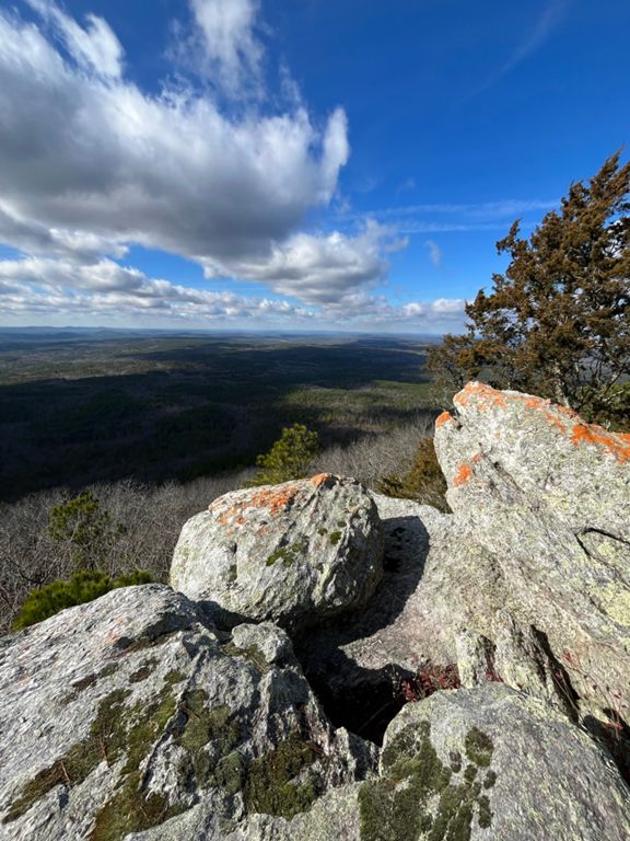
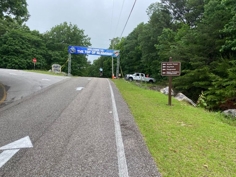
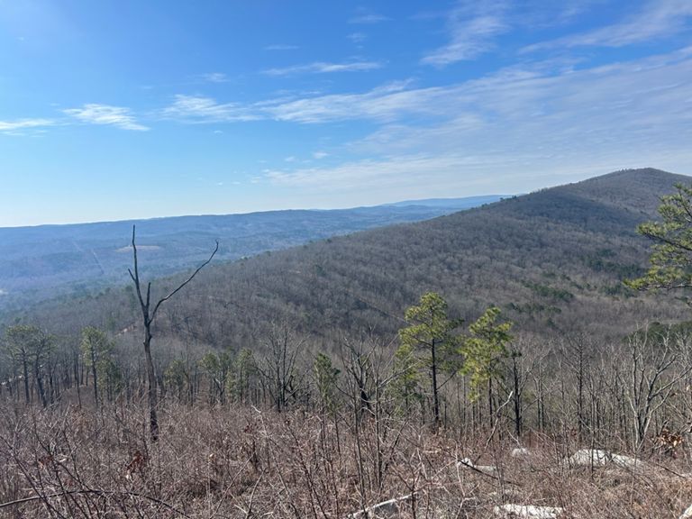
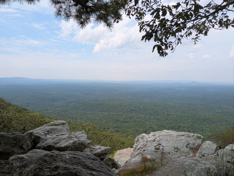
Skyway Beer Run - Sylaward to Cheaha (56)
自行車路線
詳細資訊
56.03 英里
7,033 呎
建立者:
John Little

路線和海拔
路段
| 名稱 | 距離 | 海拔差異 | 平均坡度 |
|---|---|---|---|
| Trailhead to 4way Intersection | 0.72 英里 | 82 呎 | 1.5% |
| Sylaward "RollerCoaster" towards Watershed1 | 0.18 英里 | -36 呎 | -3.8% |
| Jeep Rd Climb | 0.32 英里 | 144 呎 | 8.2% |
| Bull Gap complete climb from the west | 6.96 英里 | 1,220 呎 | 3.3% |
| Complete Bull's Gap Climb from Rocky Mt Rd | 3.36 英里 | 1,027 呎 | 5.8% |
| County Road 6000-1 Climb | 0.82 英里 | 315 呎 | 7.2% |
| Skyway Climb from Bull's Gap / Top of 148 | 2.17 英里 | 656 呎 | 5.7% |
| County Road 307 Climb | 0.61 英里 | 348 呎 | 10.7% |
| Co Rd 307 descent | 4.12 英里 | -784 呎 | -3.6% |
| Skyline Climb from Union T - Total Climb W - E | 3.23 英里 | 778 呎 | 4.6% |
| Skyline from Union T Rd / 310 (West > East) | 1.38 英里 | 456 呎 | 6.3% |
| Skyway down to Gunters Town Rd East | 1.47 英里 | -377 呎 | -4.9% |
| Skyline Climb from Gunters Tn / Hanging Rock Rd | 1.07 英里 | 289 呎 | 5.1% |
| Creek climb | 1.36 英里 | 446 呎 | 6.2% |
| Cheaha Lake to St. Park Top | 2.57 英里 | 804 呎 | 5.9% |
| Cheaha Rd to Cheaha Store | 1.54 英里 | 492 呎 | 6.0% |
| MTB Asphalt Climb | 0.61 英里 | 266 呎 | 8.2% |