


+ 194
Mont Ventoux and the Gorges de La Nesque.
Cycling Route
Details
83.88 km
2,067 m
Character:
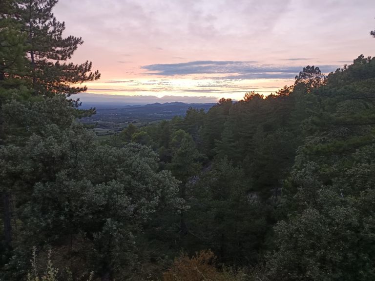
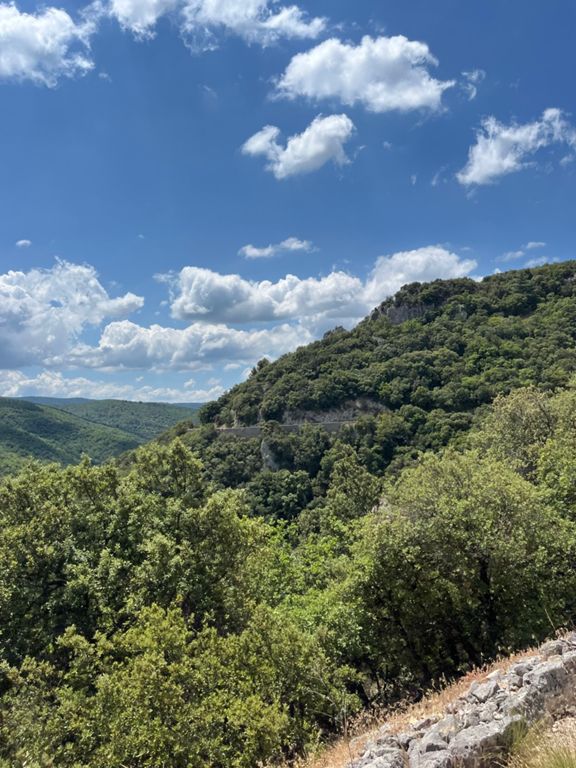
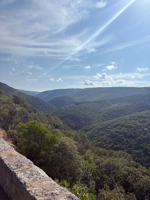
Bustling market towns, stunning lavender fields, breathtaking Gorges, and an iconic mountain climb, what more could you want from a ride? Starting from the market town of Sault, cross the plateau before climbing to the head of the Gorges de La Nesque. The spectacular viewpoint offers a perfect excuse for a break before descending down through the Gorges. The Tour de France has never taken this dramatic road as the tight twisting turns are too narrow for the caravan. After leaving the Gorges all roads lead to Mont Ventoux! Join the climb up this infamous mountain in the small village of Sainte Colombe, it is one of the toughest road climbs out there, over 20km in length with an ascent of 1639m. After climbing through the forest to Chalet Reynard you reach the famous lunar landscape and will pass the memorial to Tom Simpson on your way to the summit. All that is left is to enjoy the 27km descent back down to the village of Sault!
This route is described in an anti-clockwise direction in order to allow you to enjoy a stunning descent through the Gorges de La Nesque before climbing the most challenging side of Mont Ventoux. During July and August it may well be worth considering riding the route in the opposite direction as the climb of Mont Ventoux can get unbearably hot in the afternoon sun.
Start and Finish;
The route starts and finishes at the town of Sault and can be built into a fantastic cycling holiday at www.serredesormes.co.uk, located in the spectacular Gorges de La Meouge.
Refreshments and Facilities:
Bars and cafes are available in Sault, Villes-Sur-Auzon, Bedoin (short detour of the route), Chalet Reynard and the summit of Mont Ventoux.
Route Description:
1/ From Sault follow signs to Carpentras on the D942.
2/ After 3km turn left, signed Monieux and the Gorges de la Nesque. Follow the road all the way through the villages before reaching the village of Villes-Sur-Auzon. Turn left into the village and at the junction turn right and after 100m turn right again signed to Flassan.
3/ Turn left at Flassan, signed to Bedoin and then after a few 100m ignore the left turn and continue straight ahead until you reach D974. Turn right signed Sainte-Colombe and Mont Ventoux and follow this road past Chalet Reynard to the summit.
4/ From the summit descend back down to Chalet Reynard and take the left turn to Sault.
Route suggested by Paul and Kate at Serre Des Ormes:- Cycling, Running & Walking Holidays in the spectacular Gorges de La Méouge.
Find us at www.serredesormes.co.uk on Facebook https://www.facebook.com/SerreDesOrmes or contact us by e-mail: info@serredesormes.co.uk
Paul and Kate
Created By
Paul @ Serre Des Ormes
