活动
最常进行的运动
跑步
骑行
步行
远足
跑步
骑行
功能
地图
挑战
订阅
登录
免费加入
注册
主页
活动
跑步
骑行
步行
远足
功能
地图
挑战
订阅
用户服务
注册
登录
获取应用程序
+ 19
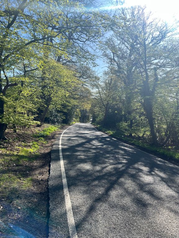
Essex Season Ender Medium Route
骑行路线
保存
分享
详情
67.2公里
674米
Unofficial Route for the 42 mile Essex Season Ender Sportive
创建者
Zcapp 96
2013年11月13日
·
公开
路线和海拔
路段
名字
距离
海拔高度差
平均坡度
Hoggenburg
0.23公里
15米
6.4%
Hoggenberg (Short)
0.23公里
16米
6.8%
Steep bit
0.11公里
7米
6.1%
B174 roundabout to roundabout
1.87公里
-14米
-0.2%
Tour de Collier Row
5.25公里
48米
0.5%
Lwr Bedfords to Noak Hill climb
3.97公里
26米
0.4%
The Bear
2.74公里
32米
1.0%
bear hill 1
1.38公里
31米
2.2%
bear hill 2
0.47公里
21米
4.0%
PubCrawl
2.14公里
33米
1.5%
Days Ln, to Doddinghurst
2.24公里
14米
0.0%
Stondon to Blackmore Exit
2.65公里
25米
0.6%
Bricklayers to A414
3.55公里
33米
0.6%
414 to stinky pig door
3.72公里
-26米
-0.6%
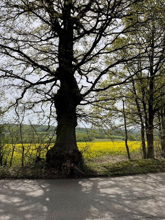
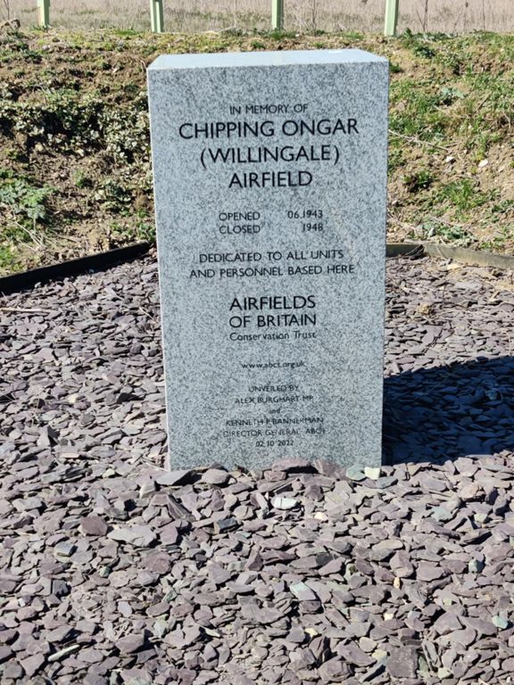
Norton Heath to Willingale via Stinky Farm
5.39公里
-26米
-0.4%
Willingale Sprint
1.49公里
-18米
-1.2%
Smelly Bash
3.47公里
-8米
0.0%
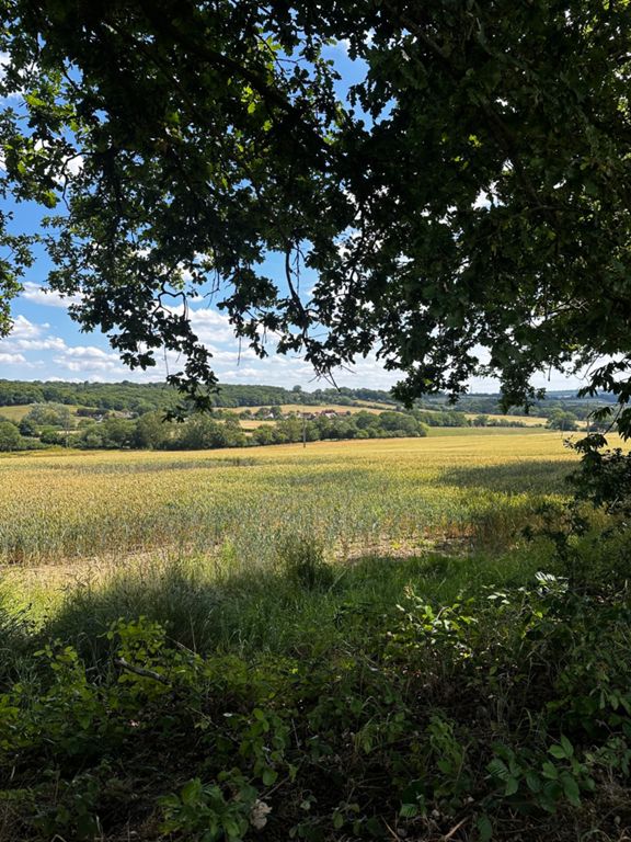
Willingale to Fyfield
3.33公里
-31米
-0.9%
Climb Out of Fyfield
3.02公里
34米
0.9%
Moreton Road
3.62公里
-24米
-0.0%
Kosi Drag
1.80公里
26米
1.0%
Kosi Drag (Safe version)
1.49公里
32米
1.7%
blake hall hill
0.47公里
20米
4.1%
Stationbridge
0.66公里
22米
3.1%
Toot Hill Road
1.49公里
25米
0.9%
Toot Hill Sign Sprint
0.63公里
9米
1.1%
Toot Hill (west)
1.03公里
25米
2.3%
Toot Hill to Banks Lane
4.05公里
-50米
-0.9%
toots hill back home
1.33公里
-14米
-0.7%
Toot Hill to Mount Road
3.92公里
-49米
-1.0%
Banks Lane DH
1.20公里
-46米
-3.8%
Banks Lane Descent
0.21公里
-10米
-4.6%
Gaynes Park Double Downs
1.24公里
-55米
-4.4%
last hill banks lane
0.23公里
-11米
-2.4%
theydon garnet climb
1.66公里
42米
2.5%
coppersale lane crawl
1.55公里
41米
2.7%
Abridge Rd DH Sprint
1.84公里
-54米
-3.0%
Phoenix Climb
1.80公里
68米
3.8%
Abridge to Lambourne End
2.65公里
63米
2.0%
Hoe Lane
1.65公里
60米
3.6%
hoe lane repeat
1.57公里
66米
4.2%
Hainault Decent
1.15公里
-36米
-3.0%