| Ride Forest Ride | 2.78 公里 | -60 公尺 | -2.2% |
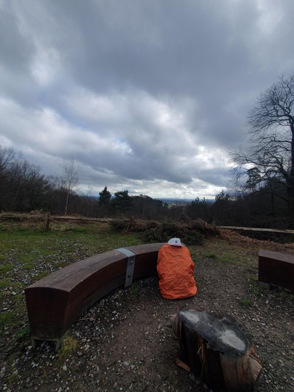
| Leith Hill | 2.01 公里 | 139 公尺 | 8.3% |
| uuuhhhhh stop it ron | 4.48 公里 | 131 公尺 | 1.7% |
| Leith Hill as used for Kingston Wheelers John Bornhoft Memorial Hill Climb Event | 1.40 公里 | 116 公尺 | 8.0% |
| WVC DESCENT LEITH HILL, SHEEPHOUSE TO ABINGER FORK | 1.89 公里 | -74 公尺 | -3.9% |
| Hoe Lane 1 | 0.44 公里 | 34 公尺 | 7.6% |
| Jelley's Rise | 1.34 公里 | 40 公尺 | 3.0% |
| Stroud Lane South | 0.95 公里 | -27 公尺 | -2.3% |
| Alderbrook proper | 3.59 公里 | 181 公尺 | 5.0% |
| Alderbrook to Great Copse link | 0.32 公里 | 22 公尺 | 6.9% |
| Lee's Big Log | 0.23 公里 | 11 公尺 | 4.4% |
| Barhatch to Knowle | 1.44 公里 | -11 公尺 | -0.8% |
| Coffee Cup Sprint | 0.52 公里 | -6 公尺 | -1.0% |
| Knowle Lane Climb Actual | 0.33 公里 | 16 公尺 | 4.4% |
| Hornshill Lane South | 1.26 公里 | -24 公尺 | -1.9% |
| Pub to Loxwood | 3.48 公里 | 20 公尺 | 0.0% |
| Alfold Climb | 0.64 公里 | 22 公尺 | 3.1% |
| Hook House Lane Sprint | 0.18 公里 | 17 公尺 | 9.1% |
| White Sauce Hascombe Hill climb | 0.72 公里 | 41 公尺 | 5.7% |
| first bit of brighton road hill | 0.33 公里 | 26 公尺 | 8.0% |
| Busbridge Aches | 0.31 公里 | 14 公尺 | 4.2% |
| pub to top of delano | 0.34 公里 | 7 公尺 | 2.0% |
| Chiddingfold Road | 1.54 公里 | -19 公尺 | -1.2% |
| Dunsfold Fork to Fisher Lane junction | 2.52 公里 | 38 公尺 | 1.5% |
| Hump! | 0.20 公里 | 7 公尺 | 3.3% |
| Plaistow Road Climb | 0.78 公里 | 30 公尺 | 3.8% |
| Surrey Copse Climb | 0.30 公里 | 18 公尺 | 6.1% |
| Whites Hill | 1.16 公里 | 24 公尺 | 1.3% |
| HBAC TT sprint finish | 0.76 公里 | -9 公尺 | -1.2% |
| Plaistow to Kirdford | 4.79 公里 | -50 公尺 | -1.0% |
| Plaistow Rd (south) | 2.75 公里 | -14 公尺 | -0.5% |
| Kirdford Dash | 0.62 公里 | 2 公尺 | 0.1% |
| Kirdford to Wisborough | 3.74 公里 | 19 公尺 | 0.0% |
| Kirdford Climb | 0.25 公里 | 10 公尺 | 3.9% |
| Growers Ramp | 0.45 公里 | 13 公尺 | 2.8% |
| Fox to Milk Churn | 1.27 公里 | 27 公尺 | 2.1% |
| Lynwick St Climb | 2.07 公里 | 42 公尺 | 2.0% |
| Lynwick climb | 0.29 公里 | 17 公尺 | 5.7% |
| Smooth! | 0.97 公里 | -2 公尺 | -0.0% |
| Sprint | 0.48 公里 | 2 公尺 | 0.4% |
| Somersbury Climb | 1.10 公里 | 17 公尺 | 1.5% |
| BCR Ewhurst Cranleigh MOT | 0.31 公里 | 4 公尺 | 1.4% |
| School Sprint | 0.27 公里 | 13 公尺 | 4.3% |
| Ewhurst, Surrey, Ride Way | 2.50 公里 | 149 公尺 | 5.6% |
| Bull to Peaslake Road | 1.09 公里 | 39 公尺 | 3.5% |
| Take it to the Church | 0.23 公里 | 6 公尺 | 1.5% |
| SingleTrack School | 0.26 公里 | -14 公尺 | -5.1% |
| Peaslake to Resevoir (Radnor Road) | 1.33 公里 | 86 公尺 | 6.5% |
| Radnor Road Steep Bit | 0.70 公里 | 59 公尺 | 8.4% |
| Radnor post-start | 1.54 公里 | 79 公尺 | 4.9% |