
+ 14
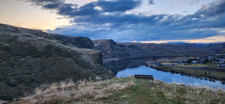
Hell's gate 2017
Running Route
Moderate
7.34 mi
1,485 ft
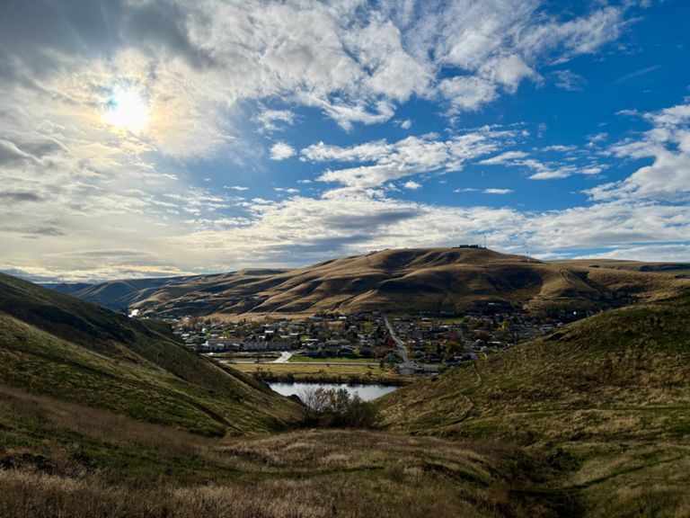
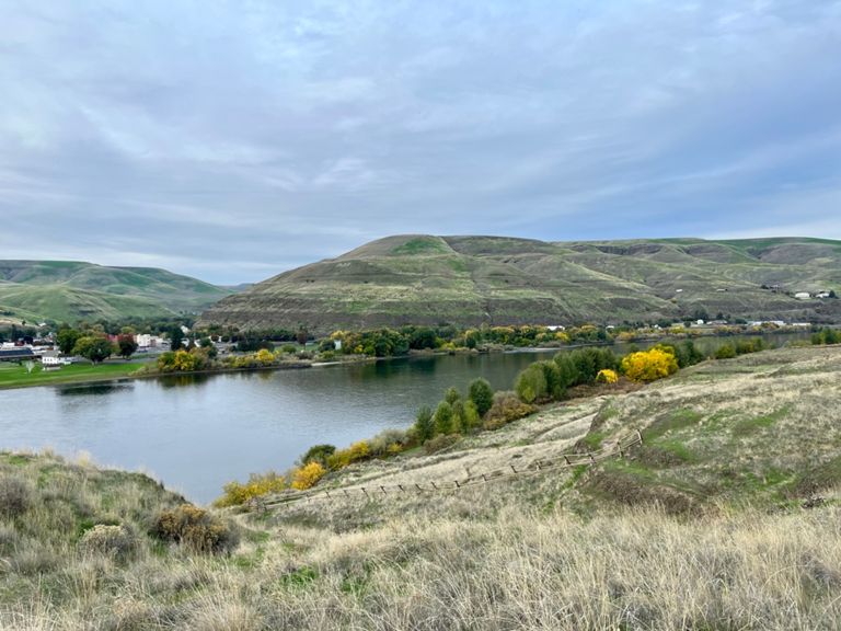
New course for 2017!!! This year we will only have a 7-mile loop. Starting and finishing at the day use area, runners will head south on the Snake river multi-use trail(about a .75 miles of pavement) before hitting the dirt trail "Easy Street". Continuing up the Snake river until runners start climbing up "river run" the "rollers" and eventually the calf burning section known as "Devils slide". At the top take a section to catch your breath and enjoy the view of the valley, At this point you get it easy on "Warrens ridge". until you reach the "Everest Trail" (my personal favorite.) And eventually ending up at "Charlies point" to "Laurel's vista" and then mostly rolling trail back to the Start/ Finish.
10K runners(actualy more like a 12K), you will finish at this point (one lap).
25K runners, you will head out for your last lap.
50K runners, you will complete a total of 4 laps.
Aid stations will be located at the start/ finish and at 5.5. they will include Clif nutrition, Nuun hydration and Halloween candy :)
Route and Elevation
Segments
| Name | Distance | Elev. Diff. | Avg. Grade |
|---|---|---|---|
| Tammany Creek Climb | 0.43 mi | 469 ft | 20.6% |
| The Slide uphill | 0.35 mi | 282 ft | 14.7% |
| Down Everest | 0.86 mi | -112 ft | -1.1% |
| Sundown to Cutoff | 0.37 mi | 23 ft | 0.6% |