route-highlight
route-highlight
route-highlight
route-highlight
route-highlight
route-highlight
+ 183

Mt. Hamilton

自行車路線

詳細資訊
107.09 英里
9,649 呎
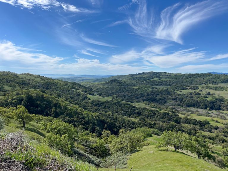
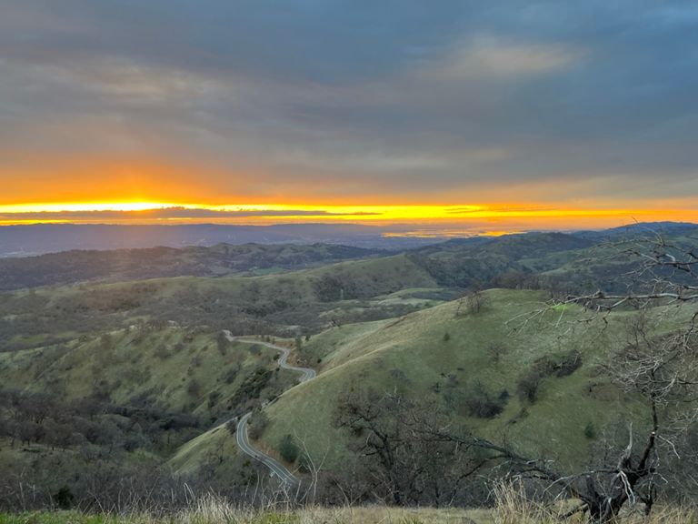
At 4,200 feet high, Mt. Hamilton is the tallest and longest peak in the Bay Area. The current KOM on this 18-mile long climb is 1:08:21 so plan on filling up the biddons and packing a few snacks. This HC climb is a fun challenge complete with hairpin turns, steep pitches, and a couple of short descents to break up the climb. Once the suffering is complete, cyclists will be rewarded with panoramic views of the entire Bay Area and beyond. Traffic is light to nonexistent while riding by cattle and farms en route to Livermore and cyclists will quickly forget how close they are to Silicon Valley. Both Mt. Hamilton and Sierra Road have been used multiple times in the Tour of California so if you want to climb like a pro, this route is a must.
建立者:
Strava Routes

路線和海拔

路段

名稱距離海拔差異平均坡度
Mines Rd - Junction to Del Valle Rd24.25 英里-2,087 呎-1.1%
Mines Road, bridge - summit #12.11 英里522 呎4.6%
Mines Rd Descent into Livermore1.77 英里-627 呎-6.7%
Mines-Tesla TT3.37 英里-184 呎-1.0%
Mines Finish Sprint0.62 英里-33 呎-0.9%
Mines Rd End Sprint 0.14 英里-3 呎-0.4%
Concannon Corner sprint1.32 英里-23 呎-0.2%
Vineyard into P-Town1.99 英里-43 呎-0.1%
Vineyard - Ruby to Bernal2.65 英里-66 呎-0.4%
Top of Yolanda Court West to Bernal0.83 英里-62 呎-1.3%
Bernal Climb - Vineyard to the top0.94 英里131 呎2.6%
Steep! Steep! Steep! Bernal climb0.24 英里79 呎6.2%
Upper Bernal0.33 英里72 呎4.1%
Valley to Sycamore0.36 英里39 呎2.1%
Calavaras 680 to Geary TT4.06 英里135 呎0.5%
Full Length TT Parking lot to End13.24 英里866 呎1.2%
Calaveras TT - Hill Start to Turn Around1.10 英里226 呎3.9%
Calaveras, south to summit2.67 英里554 呎3.9%
Calaveras mid1.34 英里282 呎4.0%
Calaveras Southbound, KOM to County Line2.23 英里131 呎0.2%
Calaveras Rollers6.34 英里318 呎0.6%
Felter (from bottom of Wall) to Top of Sierra Rd.6.17 英里1,161 呎3.6%
Felter Rd, from Calaveras2.59 英里1,916 呎0.0%
Felter Steep 1 Mile Pitch1.02 英里479 呎8.9%
Calaveras Road Sprint to Top0.19 英里95 呎9.5%
Final Kick to Top of Felter0.21 英里125 呎10.8%
Felter Rd -- Devil's Tongue0.59 英里262 呎8.2%
Sierra Rd. - Felter to Summit2.00 英里85 呎0.7%
SIERRA RD> DOWNHILL3.62 英里-1,844 呎-9.5%
To much speed.0.52 英里-285 呎-10.2%
Toyon - Southbound0.80 英里-23 呎-0.5%
Mckee to MH Big Ring Shift4.21 英里1,175 呎5.3%
Mt Hamilton 1st Climb5.94 英里1,499 呎4.7%
Mt. Hamilton (official to gate)18.20 英里3,717 呎4.8%
Mt Hamilton - Alum Rock to Crothers1.78 英里512 呎5.4%
Mt Hamilton - Alum Rock to Miguelita Road0.92 英里256 呎5.2%
Mt Hamilton Climb (shortly after the turn)18.36 英里3,796 呎3.9%
Miguelita to Crothers TT0.86 英里253 呎5.5%
FASTEST MT. HAMILTON INTERVAL- CROTHERS RD. TO GRANDVIEW LOOKOUT2.36 英里568 呎4.5%
Clayton to Gray House0.81 英里253 呎5.8%
Mt Hamilton - Clayton Rd to 1st Hump3.63 英里810 呎4.2%
Mt Hamilton 1st Climb (top) v21.42 英里364 呎4.8%
Mt. Hamilton - Descent to Grant Park1.47 英里-256 呎-3.3%
Mt Hamilton 2nd/Middle Climb (flying Start)3.21 英里771 呎4.5%
Mt Hamilton 3rd/Last Climb6.30 英里1,969 呎5.9%
Mt Hamilton - 3rd Climb - Bridge to Kincaid Road1.31 英里371 呎5.3%
Mt Hamilton - 3rd Climb (middle section past Kincaid)0.77 英里249 呎6.0%
Highway 130 Climb0.64 英里266 呎7.8%
Mt Hamilton - 3rd Climb (last 2mi)2.17 英里682 呎6.0%
Mt Hamilton Last Mile0.89 英里282 呎6.0%