route-highlight
route-highlight
route-highlight
route-highlight
route-highlight
route-highlight
+ 89

Kings + Cañada

Cycling Route

Details
22.72 mi
2,355 ft
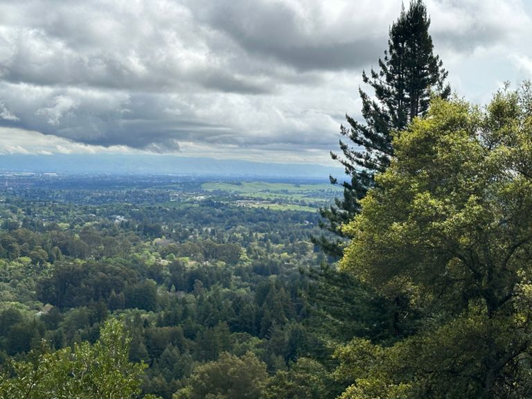
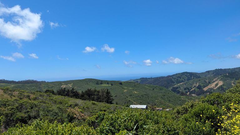
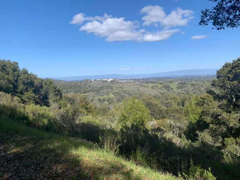
Starting in Woodside, this loop begins by taking cyclists up the popular Kings Mountain Road. Riders will climb for over four miles through the redwoods of Huddart Park while enjoying moderate grades, switchbacks, and ample shade. Once atop Kings Mountain, riders turn right onto Skyline Boulevard, one of the Bay Area’s most popular roads for cyclists. Continue on the beautiful and undulating Skyline until reaching 92, where you'll descend down towards Half Moon Bay and onto the crowd-pleasing Cañada Road. Whether you’re planning on going for a recovery ride or doing a hard TT session, Cañada Road has it all. With no traffic lights and only two stop signs, this 7.3-mile passage offers scenic views and low traffic. Ride past the beautiful Filoli Gardens and the Pulgas Water Temple while enjoying the nice road surfaces and wide bike lanes. On Sundays, Cañada Road is closed to vehicles from 9am until 3pm between the Filoli entrance and Highway 92.
Created By
Strava Routes

Route and Elevation

Segments

NameDistanceElev. Diff.Avg. Grade
Prospect St Climb0.19 mi-7 ft-0.5%
Kings Mountain Rd. to Skyline5.16 mi1,670 ft6.1%
Kings Mountain Track3.64 mi1,155 ft6.0%
Kings Mt. - Manuella to Skyline4.76 mi1,621 ft6.4%
Kings Mountain (Tripp to Skyline)4.22 mi1,621 ft7.5%
Kings Mtn - Tripp to Huddart Park1.43 mi512 ft6.9%
Kings Mtn - Tripp to Half-way up (after U-turn sign)2.10 mi771 ft6.9%
Stop sign to Huddart Park2.35 mi942 ft7.6%
Kings Mountain - Stop Sign to Stop Sign4.21 mi1,549 ft7.0%
Kings Mtn (Low-Key Hillclimbs)4.01 mi1,499 ft7.1%
Segment0.83 mi348 ft7.9%
Kings Mtn - Huddart Park to Skyline2.59 mi1,083 ft7.9%
Kings Mountain, Huddart to Top 2.64 mi1,135 ft8.1%
Kings Mtn (Huddart 10min Interval)1.83 mi676 ft7.0%
Kings Mtn (Huddart 12min Interval)1.86 mi797 ft8.1%
Kings Mtn (Huddart 8min Interval)1.40 mi515 ft6.9%
Kings Mountain Rd Second Half2.01 mi827 ft7.8%
KM-21.61 mi623 ft7.3%
Kings Mtn - Final Push0.99 mi410 ft7.7%
Kings Mtn - Final Sprint0.31 mi135 ft8.2%
Skyline and Kings Mountain --> Canada Road9.80 mi-1,818 ft-3.3%
Skyline rollers (Kings mtn to Purisma Cr)2.32 mi-82 ft-0.1%
Skyline: Kings to 926.43 mi-1,188 ft-3.4%
Skyline downhill - general store to 923.99 mi-1,165 ft-5.5%
Skyline Callbox Grave to 920.91 mi-259 ft-5.3%
CA92: Upper Skyline to Lower Skyline1.95 mi-571 ft-5.4%
Weeeeee1.24 mi-397 ft-6.1%
Canada --> Edgewood3.96 mi141 ft0.3%
SV707 End of Canada to Jefferson5.54 mi243 ft0.6%
92 to Edgewood3.84 mi121 ft0.4%
canada south - closed2.50 mi-52 ft-0.1%
Beat the Clock TT - Southbound Half4.97 mi246 ft0.8%
Canada Rd South 92 to Edgewood3.74 mi131 ft0.4%
Canada South7.37 mi276 ft0.2%
Cañada Bike Path to Water Temple Sprint2.07 mi-105 ft-0.2%
Cañada South (path to stump)4.73 mi210 ft0.6%
Cañada southbound - bike path to Woodside7.10 mi262 ft0.1%
Canada South6.99 mi249 ft0.1%
Canada Road South Interval1.42 mi52 ft0.1%
Cañada Rd Sprint0.54 mi72 ft2.5%
The Boneyard1.48 mi135 ft1.7%
Cañada southbound - Edgewood to Woodside3.43 mi-190 ft-0.4%
Beat the Clock finish, Edgewood to apex1.26 mi128 ft1.9%
HW Segment3.34 mi-187 ft-0.4%
chasing blondie on steroids1.16 mi98 ft1.6%
Cañada Sprint: 280->Jefferson1.18 mi66 ft0.4%
Canada Long Sprint0.79 mi59 ft1.4%
Canada "little" hill0.60 mi43 ft1.3%
To Market to market2.08 mi-190 ft-1.6%
downhill cañada woodside TT1.15 mi-92 ft-1.5%