route-highlight
Past Two Weeks
route-highlight
Past Two Weeks
route-highlight
Past Month
route-highlight
route-highlight
route-highlight
+ 144

The Peak

Cycling Route

Details
26.14 km
1,621 m
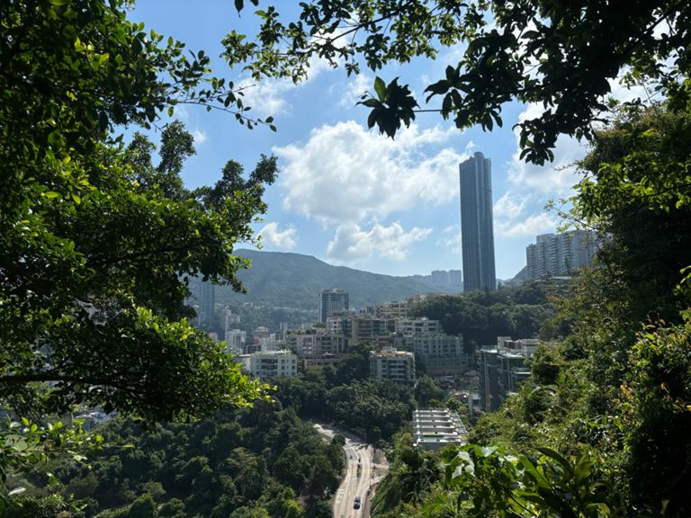
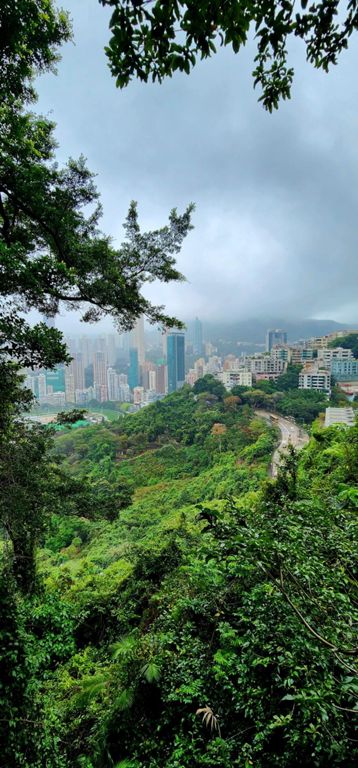
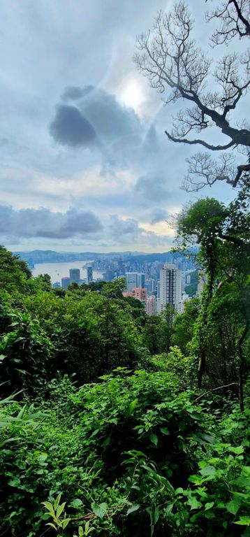
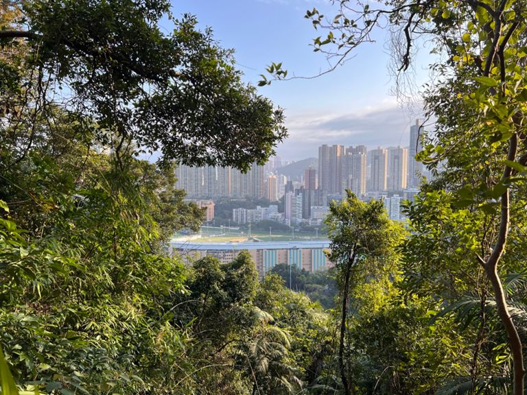
Yes, it's relatively easy to ride from your Hong Kong hotel up the winding roads to the top of the majestic Victoria Peak with its magnificent view over the city and ocean beyond. The first 2km's are flat, the sharp peaks that Strava's mapping software picks up are off ramps and over passes. But once you take the right off Queen's road into Stubb's road the fun really begins and you'll be glad your riding a compact.
Created By
Peter B

Route and Elevation

Segments

NameDistanceElev. Diff.Avg. Grade
Lower Stubbs Road Climb1.76 km125 m7.1%
Stubbs Road - Peel Rise via Police Museum7.04 km366 m5.1%
Aberdeen Tunnel Climb0.83 km94 m11.3%
HK QRE to Shiu Fai0.57 km33 m5.7%
Accurate lower Stubbs Rd1.92 km105 m5.5%
Stubbs Rd 11.94 km96 m4.9%
HK Stubbs Section 1 QRE to Rndbt1.90 km103 m5.4%
Stubbs Rd (to Tai Hang Rd)1.87 km75 m4.0%
Aberdeen Tunnel Climb0.50 km81 m16.2%
HK Stubbs Rndbout til Raceview Mansions0.82 km49 m6.0%
HK Stubbs Rndbout til Peak Rd2.11 km114 m5.4%
Stubbs and Coombe2.76 km158 m5.7%
Kong On Hospital to White Jade1.44 km82 m5.6%
Kong On Hospital to Park Road, Coombe2.74 km161 m5.8%
Aberdeen Tunnel Climb0.78 km81 m10.3%
HK Stubbs Mt Nicholson to Flat0.47 km25 m5.3%
HK Stubbs Jade Climb0.22 km14 m6.3%
山頂道 Climb0.40 km92 m23.0%
White jade to Coombe0.67 km31 m4.5%
Coombe Rd Climb0.63 km47 m7.4%
Coombe to Park road0.62 km47 m7.5%
Peak Rd Up3.02 km152 m3.7%
Peak climb Section 22.25 km145 m6.3%
Peak 2nd climb2.30 km122 m5.3%
Guildford road to mount kellet lights2.10 km113 m5.4%
Peak Rd 1.5km stretch from Guildford1.47 km82 m5.5%
Hong Kong Trail Sec. 3 Climb0.42 km82 m19.6%
The real Mt Austin climb1.19 km90 m7.5%
Left Elbow0.39 km58 m12.6%
Mt. Austin to the fence1.33 km124 m8.9%
山頂去山頂公園1.11 km118 m9.3%
HKPeakMtAustin0.93 km85 m9.1%
TheMountAustinWall0.12 km19 m14.8%
SIRS TT Descent7.32 km-384 m-5.2%
peak road descent2.34 km-112 m-4.8%
Peak Descent5.31 km-306 m-5.7%
Peak Decent (Peak > Baker Road)2.04 km-113 m-5.5%
Peak Descent (Peak > Magazine Gap/Peak Rd Junction)2.10 km-117 m-5.6%
peak descent (stubbs road section)2.92 km-134 m-4.5%
Tai Hang Rd Flats - Stubbs to Perkins1.65 km-99 m-3.4%
Tai Hang Road Sprint1.10 km-6 m-0.3%
QRE1.43 km74 m1.1%
Queensway Dash0.70 km-64 m-1.7%