


+ 118
2019 Tour de Taco
Велосипедный маршрут
Описание
51,77 ми
5 751 фт
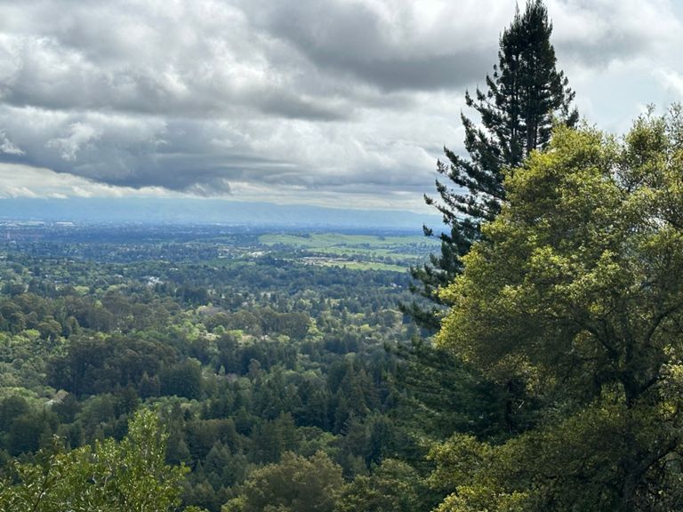
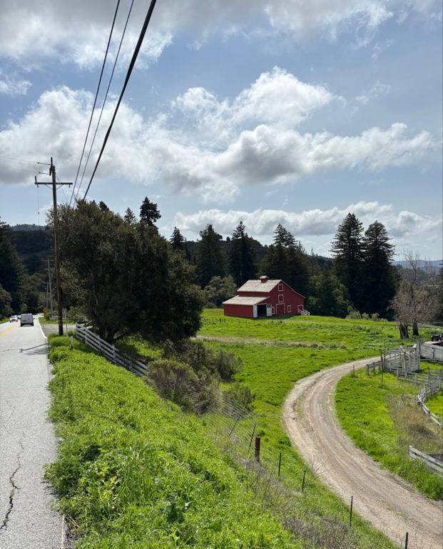
The Tour de Taco follows along some of the best roads in the entire Bay Area and this is the standard route.
The Tour de Taco will have riders roll out together from Woodside Elementary School east towards Whiskey Hill Rd. Riders will turn south onto Whiskey Hill Rd together and head towards Sand Hill Rd. Riders will turn right onto Sand Hill Rd and then a quick right up to the first climb - Old La Honda to Skyline.Atop Skyline, riders will hang a right and head North on Skyline single-file for 1.5 miles towards highway 84. .At 84, riders will make a hard turn left and descend 84 for a delightful 6.7 miles before hanging a hard left onto Pescadero Rd. From there, riders will follow along Pescadero Creek out towards the town of Pescadero. After arriving in Pescadero, riders will turn right/north onto Stage Road towards San Gregorio. Following Stage Road towards the coast, riders will turn right onto Highway 1 for a quick .5mi trip until turning right onto Tunitas Creek for the final climb up to Skyline. After reaching Skyline, riders will descend Kings Mountain for the last few miles until arriving to Woodside Elementary School to relax, network, and oh ya, Tacos!
The Tour de Taco will have riders roll out together from Woodside Elementary School east towards Whiskey Hill Rd. Riders will turn south onto Whiskey Hill Rd together and head towards Sand Hill Rd. Riders will turn right onto Sand Hill Rd and then a quick right up to the first climb - Old La Honda to Skyline.Atop Skyline, riders will hang a right and head North on Skyline single-file for 1.5 miles towards highway 84. .At 84, riders will make a hard turn left and descend 84 for a delightful 6.7 miles before hanging a hard left onto Pescadero Rd. From there, riders will follow along Pescadero Creek out towards the town of Pescadero. After arriving in Pescadero, riders will turn right/north onto Stage Road towards San Gregorio. Following Stage Road towards the coast, riders will turn right onto Highway 1 for a quick .5mi trip until turning right onto Tunitas Creek for the final climb up to Skyline. After reaching Skyline, riders will descend Kings Mountain for the last few miles until arriving to Woodside Elementary School to relax, network, and oh ya, Tacos!