

Boher Applegreen
自行車路線
詳細資訊
47.84 公里
333 公尺
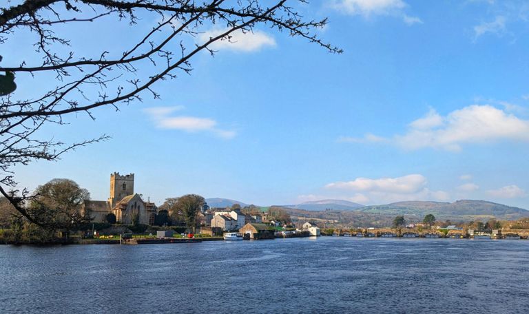
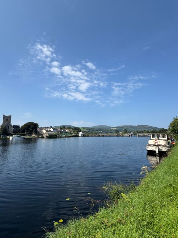
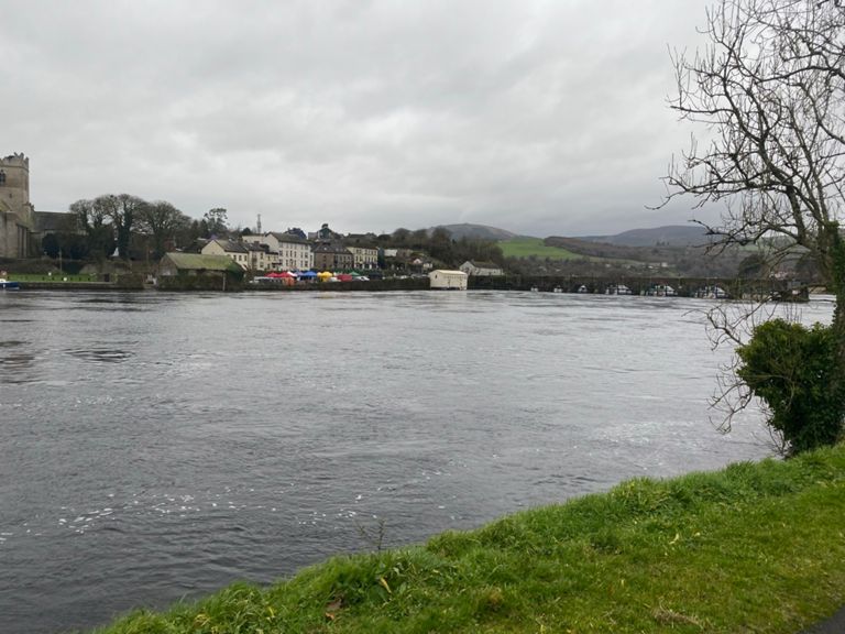
Moynans - Limerick road - Turn right for Boher - Ballina - Birdhill - Applegreen for coffee - Back to Nenagh.
建立者:
Owen H

路線和海拔
路段
| 名稱 | 距離 | 海拔差異 | 平均坡度 |
|---|---|---|---|
| wind up | 0.46 公里 | -2 公尺 | -0.3% |
| Bushfield to Boher School | 1.64 公里 | 45 公尺 | 2.7% |
| roundabout to roundabout | 2.15 公里 | 62 公尺 | 2.8% |
| roundabout to roundabout to roundabout | 4.02 公里 | 53 公尺 | 0.0% |
| Birdhill R/B to M7 R/B | 1.88 公里 | 52 公尺 | 2.7% |
| bridge to applegreen | 1.73 公里 | 40 公尺 | 2.3% |
| Birdhill Drag to M7 - Bridge to Bridge | 0.91 公里 | 41 公尺 | 4.5% |
| Limerick CC Sprint Finish | 0.35 公里 | 12 公尺 | 3.3% |
| bloody drag to the M7 | 1.46 公里 | 7 公尺 | 0.5% |
| M7 to Birdhill Descent | 1.87 公里 | -50 公尺 | -2.7% |
| Birdhill roundabout to Silvermines turn | 6.03 公里 | 64 公尺 | 1.0% |
| Birdhill to Four Roads | 3.81 公里 | 35 公尺 | 0.9% |
| Birdhill R/B to Five Alley R/B | 14.72 公里 | 63 公尺 | 0.1% |
| Birdhill to Yellowbridge | 7.82 公里 | 61 公尺 | 0.5% |
| Birdhill R445 4k Dash | 3.46 公里 | 33 公尺 | 1.0% |
| Birdhill R/B to Ashlawn | 12.46 公里 | 63 公尺 | 0.3% |
| Kilmastualla | 3.64 公里 | 49 公尺 | 1.3% |
| 5km 53x11 | 6.08 公里 | -26 公尺 | -0.4% |
| Mines turnoff to Fivealley | 7.87 公里 | -37 公尺 | -0.5% |
| NTW Flying Mile 2016 circuit | 1.64 公里 | -17 公尺 | -1.0% |
| Yellowbridge sprint | 1.10 公里 | -13 公尺 | -0.9% |
| NTW Flying Mile 2015 | 1.66 公里 | -7 公尺 | -0.4% |
| Creamery to Five Alley | 4.51 公里 | -19 公尺 | -0.3% |
| Wind down | 0.50 公里 | -3 公尺 | -0.1% |