+ 194
Nidderdale Way, Clockwise (MTB)
Running Route
Hard
53.97 mi
5,953 ft
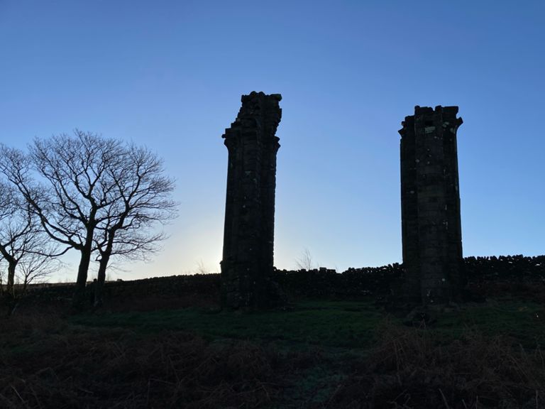
One bit where Strava wouldn't follow path so loops at both ends to join up the dots, probly adds a k to a mile on.
Intended as MTB but Strava won't follow the right route that way.
Intended as MTB but Strava won't follow the right route that way.
Created By
Clark Pearson

Route and Elevation
Segments
| Name | Distance | Elev. Diff. | Avg. Grade |
|---|---|---|---|
| GF2015 all the way up Hollybank | 1.52 mi | 144 ft | 1.6% |
| Church Yard to Elton Lane | 0.18 mi | -10 ft | -0.5% |
| riverside | 0.57 mi | 33 ft | 0.6% |
| Steep Reynard | 0.23 mi | 200 ft | 15.9% |
| Heyshaw to Transmitter | 0.87 mi | 141 ft | 3.0% |
| Skrikes down to field | 0.20 mi | -148 ft | -13.3% |
| Bewerley hill sprint | 0.07 mi | 23 ft | 5.5% |
| Bridge to top. | 0.35 mi | 128 ft | 6.9% |
| Nidderdale Way to bench. | 0.49 mi | 249 ft | 9.5% |
| Ramsgill to Scar House | 5.70 mi | 922 ft | 2.0% |
| Blayshaw Lane Climb | 0.73 mi | 217 ft | 5.6% |
| How Stean Beck to Middlesmoor | 0.44 mi | 243 ft | 10.2% |
| Middlesmoor to Gate | 1.60 mi | 427 ft | 4.9% |
| Cam Gill Road Climb | 0.55 mi | 207 ft | 7.0% |
| Bouthwaite to Covill Barn | 0.69 mi | 46 ft | 0.1% |
| Bouthwaite to Wath | 2.61 mi | -125 ft | -0.4% |
| BridgeToBridgeSouth | 1.31 mi | -36 ft | -0.5% |
| Bridge to bridge Southbound | 0.31 mi | -7 ft | -0.1% |
| Down to Smelthouses | 0.69 mi | -154 ft | -4.2% |
| Brimham Rocks Rd Climb | 1.16 mi | 463 ft | 7.5% |
| Smelthouses up | 0.73 mi | 322 ft | 8.3% |
| Through the Valley, up the Hill! | 0.65 mi | 98 ft | 1.8% |
| Up through the wood | 0.17 mi | 46 ft | 3.7% |