


+ 68
Race Across Durham 10 miler
跑步路線
適中
8.49 英里
464 呎
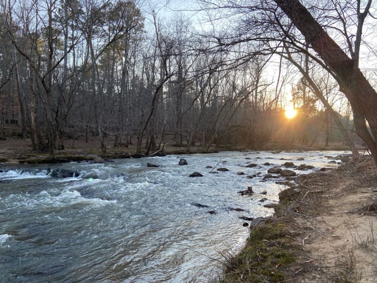
Tried to map out the race course on Strava. Coming up at 8.4mi only.
建立者:
Alastair Vance

路線和海拔
路段
| 名稱 | 距離 | 海拔差異 | 平均坡度 |
|---|---|---|---|
| Chimney Hill | 0.40 英里 | 75 呎 | 2.7% |
| MST: Guess to Cole Mill | 3.54 英里 | 105 呎 | 0.2% |
| Field Stone Hill | 0.49 英里 | -59 呎 | -0.7% |
| Twin Peaks | 0.50 英里 | 39 呎 | 0.0% |
| Cole Mill Rd to Cabe Lands Trail | 2.13 英里 | 95 呎 | 0.9% |
| U.S. 70 Climb | 0.36 英里 | 138 呎 | 7.1% |
| @therealclimb | 0.16 英里 | 105 呎 | 12.0% |
| Down to the quarry | 0.28 英里 | -98 呎 | -6.6% |