


+ 4
Brownlow Arms to Doddington Hall
自行車路線
詳細資訊
23.36 英里
356 呎
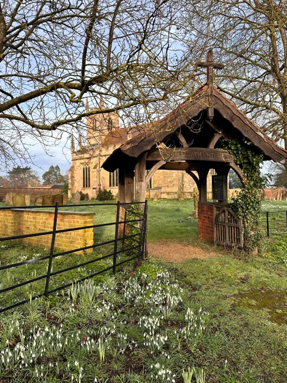
Road and old railway lane route from the Brownlow Arms at High Marnham to beautiful Doddington Hall
建立者:
Sarah C

路線和海拔
路段
| 名稱 | 距離 | 海拔差異 | 平均坡度 |
|---|---|---|---|
| Fled to Jerusalem | 7.75 英里 | 43 呎 | 0.0% |
| Fledborough to Harby | 5.14 英里 | -43 呎 | -0.1% |
| Trent to Skelly Dash | 7.74 英里 | 49 呎 | 0.0% |
| Route 647 to Harby 2014 | 7.14 英里 | -33 呎 | -0.0% |
| Trent Crossing | 1.57 英里 | 13 呎 | 0.0% |
| viaduct | 0.15 英里 | 10 呎 | 0.7% |
| Cycle Path - Clifton to Thorney | 2.47 英里 | -66 呎 | -0.3% |
| 1133 to 1190 | 4.23 英里 | -26 呎 | -0.1% |
| Carr Wood to Harby 2 mile sprint | 1.96 英里 | 0 呎 | 0.0% |
| Before The Walkers | 2.10 英里 | 52 呎 | 0.2% |
| Uncle Edgar | 1.26 英里 | 36 呎 | 0.3% |
| Black Lane | 0.74 英里 | 13 呎 | 0.1% |
| Jungle sprint | 1.61 英里 | -89 呎 | -0.9% |
| Short Jungle | 1.49 英里 | -89 呎 | -1.0% |
| Harby to Fledborough | 5.21 英里 | 43 呎 | 0.1% |
| Harby to Carr Wood 2 mile sprint | 1.98 英里 | -10 呎 | -0.1% |
| Carr Wood to Fledborough | 3.05 英里 | 43 呎 | 0.2% |
| viaduct REV | 0.48 英里 | 7 呎 | 0.1% |
| viaduct REV | 0.48 英里 | 7 呎 | 0.1% |