Strava
Mobile
Features
Subscribe
Maps
Stories
Sign Up
Log In
+ 13
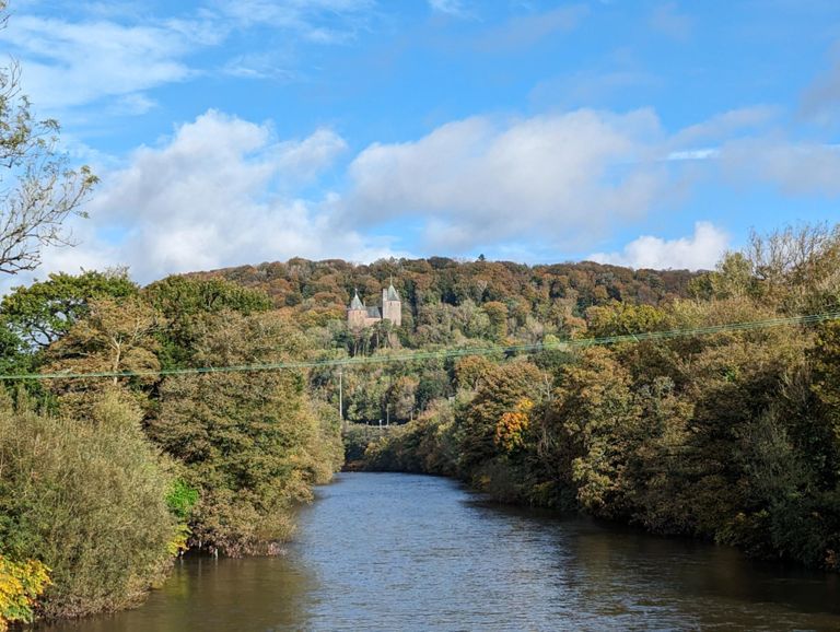
Straight to Nelson and back.
Cycling Route
Save
Share
Embed
Copy URL
Export TCX
Export GPX
Print
Moderate
28.12 mi
1,327 ft
Straight up and back.
Created By
Mark "Sparky" Taylor 🏴
November 19, 2017
·
Public
Route and Elevation
Segments
Name
Distance
Elev. Diff.
Avg. Grade
deri sprints
0.14 mi
33 ft
4.0%
Down Pantmawr Road
0.47 mi
-69 ft
-2.8%
Iron Bridge Road Climb
0.36 mi
16 ft
0.8%
Ton to Coch
0.63 mi
16 ft
0.1%
Drop and Rise Northbound - Roundabout to Traffic Lights
0.24 mi
23 ft
0.6%
Taffs Well - Upper Boat
2.90 mi
52 ft
0.1%
Last House to Roundabout
0.65 mi
-23 ft
-0.4%
Roundabout to The Pottery
0.79 mi
0 ft
0.0%
Outlaws run
0.08 mi
3 ft
1.0%
Industrial Estate Flats
1.02 mi
13 ft
0.2%
Final Sprint To Work
0.86 mi
20 ft
0.3%
Island to Dynea Road
0.27 mi
13 ft
0.5%
Mr. T sprints for home.
0.67 mi
20 ft
0.5%
College Way Sprint
0.57 mi
30 ft
0.5%
Chase to the roundabout
0.68 mi
26 ft
0.6%
Roundabout to Wayne Mounters
0.43 mi
20 ft
0.7%
Glyntaff to the monument
2.45 mi
118 ft
0.6%
Glyntaff crem to fiddlers elbow
4.48 mi
210 ft
0.7%
Shab 2
1.04 mi
112 ft
1.8%
The Cutting
0.30 mi
36 ft
2.2%
Common Rd to Last Allotment
0.40 mi
16 ft
0.4%
rj davies climb recovery
0.52 mi
-26 ft
-0.6%
Down through Cilfynydd
1.21 mi
-33 ft
-0.5%
The Royal Oak to The Commercial Sprint
0.77 mi
-33 ft
-0.3%
Kings hill
0.06 mi
43 ft
13.2%
Straight - Quite Smooth and Quick!
0.91 mi
75 ft
1.5%
Fidlers Elbow to Albion Estate jct
2.02 mi
-135 ft
-0.9%
Roundabout by Quakers to Lights
0.87 mi
43 ft
0.1%
Abercynon to nantgarw
6.62 mi
-262 ft
-0.7%
A4054 Abercynon to Cilfynydd
1.21 mi
-108 ft
-1.7%
A4054 Taf Section Sprint
0.65 mi
-33 ft
-1.0%
Commercial to Royal Oak Bus Stop Sprint
0.85 mi
33 ft
0.3%
Beat the Bus!
1.14 mi
26 ft
0.1%
Pont-Sion-Norton village
0.70 mi
20 ft
0.2%
Common Crossroads to Bike Shop
0.56 mi
-85 ft
-2.9%
Warm you'r legs up
0.47 mi
-23 ft
-0.6%
Down through the dip
0.38 mi
-20 ft
-1.0%
Roundabout to Tesco
1.54 mi
-33 ft
-0.4%
Rugby club to Upperboat Inn
1.07 mi
-13 ft
-0.2%
Dynea Rd to Traffic Island
0.27 mi
-7 ft
-0.3%
Ind Est - Roundabout to Roundabout
1.23 mi
-16 ft
-0.3%
Team g1 sprint
0.59 mi
-13 ft
-0.3%
The Pottery to Roundabout
0.79 mi
-13 ft
-0.3%
Rise to Glanwr Taf Capel
0.63 mi
10 ft
0.1%
A470 Rise
0.09 mi
10 ft
0.5%
Tongwynlais Climb
0.36 mi
-23 ft
-0.8%
Quality Hotel
0.91 mi
39 ft
0.7%
Merthyr Road speed restriction sprint
0.07 mi
10 ft
2.4%
Pantmawr Rd
0.50 mi
72 ft
2.7%
Past the Deri
0.37 mi
-56 ft
-2.9%