


上個月

+ 27
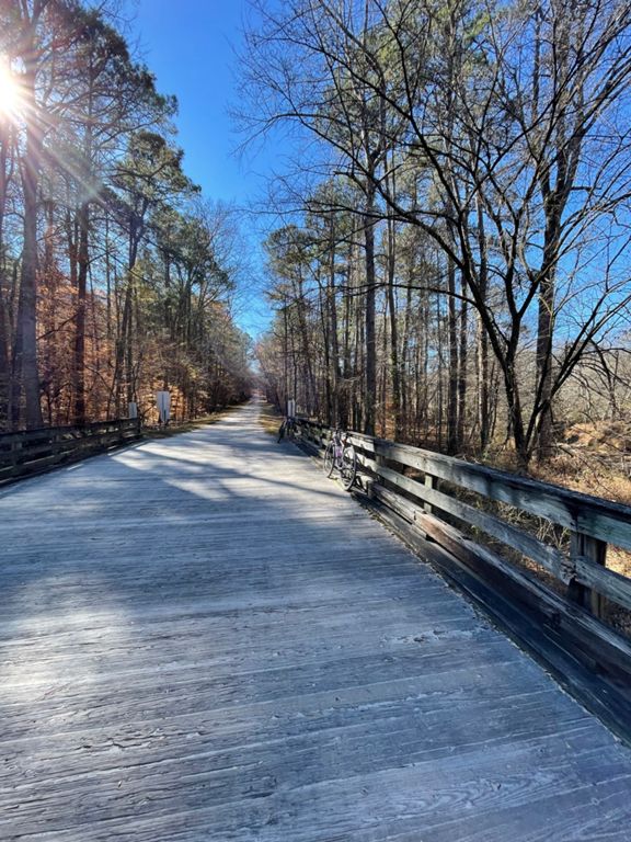
Home/Umstead loop return
自行車路線
詳細資訊
23.65 公里
390 公尺
From home and return Horse trail.
建立者:
Shane Bradley

路線和海拔
路段
| 名稱 | 距離 | 海拔差異 | 平均坡度 |
|---|---|---|---|
| Corkscrew - Bridge to Cedar Ridge | 1.11 公里 | 44 公尺 | 4.0% |
| corkscrew | 0.80 公里 | 32 公尺 | 4.0% |
| Just the hard climb of Corkscrew | 0.69 公里 | 30 公尺 | 4.4% |
| powerline | 1.06 公里 | 40 公尺 | 3.8% |
| Graylyn Bridge to Sign at top of hill | 0.68 公里 | 35 公尺 | 5.0% |
| Just the hard part of power line climb | 0.72 公里 | 38 公尺 | 5.3% |
| Ebenezer Entrance to Reedy Creek Entrance | 5.67 公里 | -64 公尺 | -0.4% |
| Umstead Outer CCW | 11.86 公里 | 64 公尺 | 0.0% |
| Powerline downhill | 0.77 公里 | -40 公尺 | -5.2% |
| Graylyn - Powerline to Reedy Creek | 1.12 公里 | -35 公尺 | -1.2% |
| Graylyn creek crossing to Reedy Creek | 0.44 公里 | 25 公尺 | 5.5% |
| Graylyn to the fork | 1.56 公里 | -43 公尺 | -1.4% |
| Corkscrew DOWN | 1.02 公里 | -45 公尺 | -4.4% |
| Reedy Creek Lake Climb | 1.60 公里 | 43 公尺 | 2.5% |
| Reedy Creek Climb for repeats | 0.78 公里 | 29 公尺 | 3.7% |
| Reedy Creek Lake to Trenton | 1.40 公里 | 32 公尺 | 1.9% |
| Reedy Entrance to Big Bridge | 2.53 公里 | -46 公尺 | -1.7% |
| Water fountain down to parking | 2.16 公里 | -32 公尺 | -1.2% |
| Turkey Creek | 6.06 公里 | 64 公尺 | 0.4% |
| Turkey Creek Steep | 0.25 公里 | 20 公尺 | 5.4% |
| Bridge to Graylin trail | 0.68 公里 | 35 公尺 | 5.0% |
| Get me outta here! | 0.78 公里 | 7 公尺 | 0.4% |