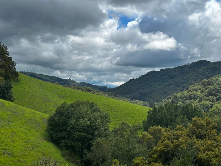
| Foothill Rd - Sunol, Bond St to Pleasanton, Stoneridge Dr | 7.54 mi | 187 ft | 0.2% |
| Sunol to Castlewood | 3.11 mi | 105 ft | 0.2% |
| Castle Wood Sprint | 0.69 mi | 26 ft | 0.6% |
| THE COUNTRY LANE PUSH | 0.41 mi | 23 ft | 0.8% |
| Foorhill - Castlewood to Bernal | 1.41 mi | 36 ft | 0.4% |
| Foothill Bernal to peak | 1.10 mi | 98 ft | 1.6% |
| Foothill Rd — Bernal Av. to Stoneridge Rd. | 2.72 mi | 95 ft | 0.2% |
| Foothill Bernal 2 Las Positas | 1.58 mi | 89 ft | 0.7% |
| Attack Attack Attack | 0.12 mi | 26 ft | 4.1% |
| Muir Wood to Dublin Canyon Way | 1.26 mi | 79 ft | 0.0% |
| Foothill rd to Muirwood uphill attack | 0.33 mi | 66 ft | 3.6% |
| No Flags Climb >>> | 0.28 mi | 69 ft | 4.6% |
| The steep section | 0.19 mi | 66 ft | 6.5% |
| Dublin Canyon West The Whole Climb | 2.47 mi | 364 ft | 2.8% |
| Dublin canyon road sprint to CM | 1.00 mi | 79 ft | 1.4% |
| foot hill to top of palomarez | 10.55 mi | 810 ft | 1.4% |
| dub can all | 5.01 mi | 377 ft | 0.2% |
| Eden Canyon Westbound | 4.37 mi | -374 ft | -0.2% |
| Dublin Canyon, west | 1.37 mi | -1,421 ft | -0.0% |
| The Grade (top out @ the Driveway) | 1.24 mi | 295 ft | 4.5% |
| Dublin Cnyn West Climb | 0.95 mi | 240 ft | 4.7% |
| Dublin Canyon-Steep Only | 0.91 mi | 230 ft | 4.7% |
| Dublin Canyon Hill Climb (West) hill repeats | 0.11 mi | 233 ft | 40.0% |
| The Grade descent to CV | 2.66 mi | -377 ft | -2.7% |
| Dublin Canyon Rd / Castro Valley Blvd westbound downhill | 2.58 mi | -351 ft | -2.6% |
| Dublin Cyn westbound | 2.32 mi | -292 ft | -2.4% |
| To the bridge | 2.67 mi | 210 ft | 1.4% |
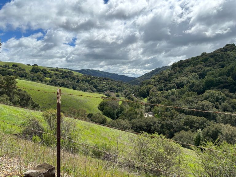
| Palomares All, not half, the whole Gawd Damn Road! (North to South) | 9.73 mi | -1,102 ft | -0.4% |
| Palomares TT Before Steep Section | 3.63 mi | 331 ft | 1.7% |
| Palomares full climb | 5.13 mi | 892 ft | 3.3% |
| Palomares South first climb | 0.26 mi | 59 ft | 4.0% |
| Palomares N - easy pahts | 3.99 mi | 384 ft | 1.8% |
| Palomares Climb South | 5.05 mi | 883 ft | 3.3% |
| Palomares Road - Northside Climb | 5.05 mi | 886 ft | 3.3% |
| Palomares Rd North side | 5.00 mi | 896 ft | 3.4% |
| Palomares Rd [Southbound] | 5.00 mi | 892 ft | 3.4% |
| Palomares near top | 3.60 mi | 338 ft | 1.8% |
| Last stretch to Goats | 1.33 mi | 279 ft | 3.8% |
| Beat Hanns D. Segment | 1.16 mi | 509 ft | 8.3% |
| Achilles' Last Stand | 1.18 mi | 509 ft | 8.1% |
| Palomares, south | 1.13 mi | -1,421 ft | -0.0% |
| Steep Section to fence | 1.03 mi | 469 ft | 8.6% |
| The Pain of Palomares | 0.91 mi | 430 ft | 8.9% |
| Palomares Decent (Southside - Summit to Niles Canyon Rd) | 4.61 mi | -994 ft | -4.1% |
| Palomares Descent (Southbound) | 4.49 mi | -1,040 ft | -4.4% |
| Palomares Downhill | 4.24 mi | -955 ft | -4.3% |
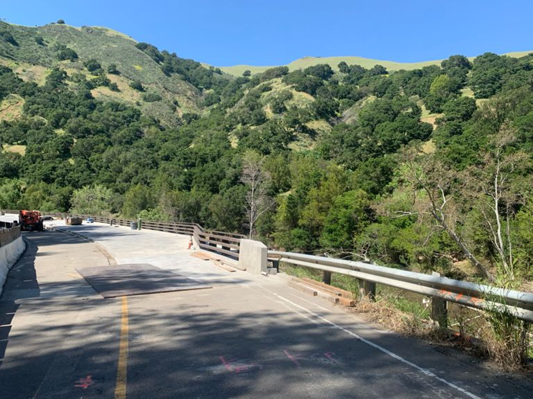
| The BRIDGE is OUT!!! | 3.41 mi | -682 ft | -3.8% |
| Palomares Descent SB | 4.11 mi | -909 ft | -4.2% |
| Niles Canyon East (Palomares to Sunol) | 3.91 mi | 108 ft | 0.5% |