route-highlight
route-highlight
route-highlight
route-highlight
route-highlight
route-highlight
+ 82

The Surrey Hills

Rota de Ciclismo

Detalhes
42,07 mi
4.533 pés
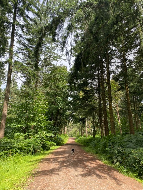
Hit the hills hard with this shorter loop – it will test what your legs are made of, and you'll see why the Surrey Hills are one of the favourite destinations for London cyclists. You'll wind in and out of forests and catch beautiful views as you dip and dive on quiet lanes. Reward yourself with coffee and cake upon reaching the top of the final climb, the famous zig-zag road of Box Hill, at the National Trust Cafe.

* Peaslake Stores
* Box Hill National Trust Cafe
Criado por
Tom Wright

Rota e elevação

Segmentos

NomeDistânciaDif. de elev.Inclinação média
Pump Corner to Vincent Road0,18 mi10 pés1,0%
Coldharbour lane full1,90 mi413 pés4,1%
The Full Leith from Knoll Rd4,93 mi502 pés1,8%
OFFICIAL 100Climbs No118 Coldharbour Lane1,94 mi466 pés4,6%
Coldharbour Steep bit to pub1,91 mi430 pés3,8%
Boar Hill, First Steep part0,60 mi295 pés9,2%
Coldharbour first steep bit to Logmore Lane0,31 mi184 pés11,1%
Hello old friend.0,44 mi138 pés5,0%
Pasturewood southbound bump0,15 mi59 pés6,9%
Ewhurst hill half0,41 mi-92 pés-4,1%
Ewhurst Blast!0,36 mi-49 pés-2,0%
Lump0,15 mi7 pés0,7%
Bookhurst Road1,56 mi-98 pés-1,1%
Corner to roundabout 0,91 mi-75 pés-0,8%
bookhurst road climb sprint0,24 mi46 pés3,5%
2 in 10,66 mi33 pés1,0%
climb sprint0,28 mi46 pés2,5%
Swallowhurst Climb0,15 mi23 pés2,7%
OFFICIAL 100Climbs No120 Barhatch Lane1,52 mi482 pés6,0%
Barhatch0,86 mi308 pés6,7%
Mid-Barhatch climb 0,39 mi141 pés6,9%
Barhatach climb0,47 mi272 pés11,0%
Winterfold short0,19 mi154 pés14,8%
Alderbrook descent 1,17 mi-404 pés-6,5%
Sham-Nor0,29 mi-10 pés-0,4%
The dark descent that is Sampleoak Lane0,55 mi-141 pés-4,8%
Halfpenny Lane part 10,75 mi233 pés5,7%
White Ln Climb0,65 mi312 pés8,9%
Halfpenny0,90 mi184 pés3,8%
Albury hill climb0,38 mi128 pés6,3%
OFFICIAL 100Climbs No116 Combe Lane1,03 mi367 pés6,7%
Coombe Bottom & Crocknorth4,90 mi361 pés1,3%
Coombe - The Bend0,14 mi95 pés12,5%
LOS 2017 same as old part 25,81 mi-292 pés-0,1%
Fullers Farm Rd Climb0,36 mi-10 pés-0,2%
Green Dene down to Chalk lane1,78 mi-262 pés-2,8%
Green dene Downhill1,35 mi-236 pés-3,3%
Green Dene - main blast1,09 mi-226 pés-3,9%
Crocknorth0,46 mi230 pés9,3%
Crocknorth Rd Climb1,48 mi285 pés3,7%
Crocknorth Rd climb to Bridge0,29 mi161 pés10,4%
Crocknorth Wall0,22 mi138 pés11,5%
Ranmore Run1,69 mi-46 pés-0,3%
Ranmore Sprint1,55 mi-30 pés-0,3%
Ranmore from car park1,10 mi-39 pés-0,6%
DV Ranmore Common Official Sprint0,79 mi20 pés0,1%
Perfectly Safe Descent from Ranmore1,10 mi-374 pés-6,4%
Ranmore Decent1,56 mi-449 pés-5,4%
Safe Ranmore Descent (before rubbish tip entry)0,75 mi-292 pés-7,3%
Down Ashcombe Road0,44 mi-56 pés-2,3%