


过去 2 周
+ 19
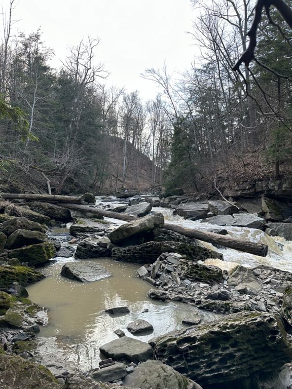
2 Hills - Roland and Taylor via Jordan & Port Dahlousie
骑行路线
详情
77.31公里
314米
Garner, Hwy 20 bridge, Holland, Merritville, Cataract, Roland, Jordan (41 km break), via Port Dahlousie, Canal, and Taylor Hill
创建者
Carolyn V

路线和海拔
路段
| 名字 | 距离 | 海拔高度差 | 平均坡度 |
|---|---|---|---|
| Mountain To Stone Sprint | 2.07公里 | -4米 | -0.1% |
| Barren - 70 to 82 | 1.89公里 | 0米 | 0.0% |
| 90 degree 82 to 20 | 1.38公里 | -4米 | -0.3% |
| Kottmeier! | 1.93公里 | -2米 | -0.1% |
| Seburn climb | 0.72公里 | -4米 | -0.3% |
| The Holland Dip | 2.74公里 | -76米 | -2.0% |
| Howell's to White Meadows | 3.87公里 | -46米 | 0.0% |
| Roland Rd to Effingham st climb. | 1.91公里 | 63米 | 2.5% |
| Sore guns | 0.29公里 | 21米 | 7.0% |
| Maple Icing | 0.80公里 | -9米 | -1.1% |
| Balls Out | 2.29公里 | -55米 | -2.3% |
| Balls Out | 2.34公里 | -56米 | -2.3% |
| Glen Road Descent | 0.52公里 | -17米 | -3.3% |
| Daley Reverse | 1.25公里 | -8米 | -0.0% |
| 7th street to the tower that never was. | 3.94公里 | 8米 | 0.0% |
| Main Street sprint longer | 1.84公里 | -6米 | -0.2% |
| Main St. into Port sprint | 0.94公里 | 3米 | 0.0% |
| Port to Lakeport | 1.63公里 | 13米 | 0.7% |
| Linwell Eastbound Shortie | 1.79公里 | -2米 | -0.0% |
| Pie Guy to Fat Guy | 0.39公里 | 1米 | 0.1% |
| Just the Top | 1.43公里 | 6米 | 0.4% |
| 4 way stop or not | 1.92公里 | 8米 | 0.3% |
| Carlton St to Frado's | 2.59公里 | 14米 | 0.5% |
| Queenston to Glendale. | 2.12公里 | 13米 | 0.6% |
| Glendale Sprint | 1.89公里 | 7米 | 0.1% |
| Just a little hill | 0.82公里 | 28米 | 3.4% |
| Taylor Rd - NC to Mtn | 2.00公里 | 56米 | 2.8% |
| Climbing the Flat Mountain | 3.05公里 | 14米 | 0.4% |
| Round Aboot East | 0.59公里 | 11米 | 1.9% |
| Sprint past Firemens | 0.96公里 | 2米 | 0.2% |