


+ 25
May 12th 2019
Rota de ciclismo
Detalhes
61,46 milhas
4 783 pés
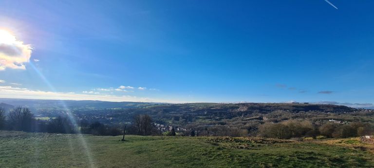
Pikehall Down
Criado por
Dave T

Rota e elevação
Segmentos
| Nome | Distância | Dif. Elevação | Inclinação Média |
|---|---|---|---|
| Uttoxeter Roundabout to Spath Roundabout | 0,90 milhas | 26 pés | 0,3% |
| Spath to Crakemarsh Sprint | 0,40 milhas | -13 pés | -0,6% |
| Uttoxeter to Mayfield | 8,80 milhas | 262 pés | 0,3% |
| Dove Way to JCB | 2,57 milhas | -20 pés | -0,0% |
| Rocester climb | 0,76 milhas | 184 pés | 4,6% |
| Quixhill Bank to Ellastone | 0,63 milhas | -52 pés | -1,2% |
| Calwich up & over | 1,85 milhas | 200 pés | 0,2% |
| Calwich | 1,13 milhas | -174 pés | -2,7% |
| Birdsgrove Lane A52 to Yerley Hill | 1,36 milhas | -56 pés | -0,6% |
| Hinchley Wood climb | 1,18 milhas | 249 pés | 4,0% |
| nice sprint 2 | 0,27 milhas | -39 pés | -0,9% |
| WASHBROOK (davesbicycleworkshop) | 0,24 milhas | -33 pés | -0,1% |
| Tissington Gates to Ford | 1,91 milhas | -243 pés | -2,3% |
| Fast Fordwards | 0,24 milhas | -115 pés | -8,8% |
| Highway Lane climb | 1,30 milhas | 387 pés | 5,6% |
| Parwich Lane Climb | 2,47 milhas | 466 pés | 3,6% |
| Pikehall Power | 0,70 milhas | 59 pés | 1,6% |
| Via Gellia - Wisles Wood to Grangemill | 2,58 milhas | -203 pés | -1,5% |
| Grangemill to New Rd. Junction | 1,62 milhas | -184 pés | -2,1% |
| Grangemill to Pig O' Lead | 3,21 milhas | -371 pés | -2,1% |
| flat stick | 2,43 milhas | -276 pés | -2,1% |
| Clatterway to Cromford Hill jct | 0,82 milhas | -115 pés | -2,5% |
| Ceomford Hill to Black Rock Turn Off. | 0,76 milhas | 354 pés | 8,7% |
| Cromford to Bolehill | 1,51 milhas | 614 pés | 7,6% |
| Alpe de Cromford | 0,63 milhas | 276 pés | 8,2% |
| Bole hill | 0,53 milhas | 164 pés | 5,8% |
| Sough to Shovel | 0,51 milhas | -66 pés | -1,0% |
| woosh | 0,82 milhas | -351 pés | -8,0% |
| The twisty bit | 0,45 milhas | -220 pés | -9,1% |
| Yokecliffe Drive Climb | 0,24 milhas | 295 pés | 22,6% |
| Millers' Green - uphill | 0,51 milhas | 82 pés | 2,2% |
| Rakestones kicker | 0,30 milhas | 92 pés | 5,7% |
| Gorses steeply down | 0,48 milhas | -197 pés | -7,7% |
| Up to cross o' the hands | 0,87 milhas | 315 pés | 6,8% |
| cross o th hands(last push) | 0,20 milhas | 102 pés | 9,6% |
| Intakes Dipper | 0,89 milhas | -141 pés | -1,8% |
| Mercaston blast | 0,18 milhas | -39 pés | -4,0% |
| Root Humpy Slack Lane | 0,77 milhas | -128 pés | -2,5% |
| Dash For Long Lane | 3,01 milhas | -154 pés | -0,6% |
| Main Street climb | 0,20 milhas | 59 pés | 5,5% |
| just a fast segment | 0,70 milhas | 43 pés | 0,6% |
| DairyHouse Farm to Ammasonfield | 1,87 milhas | -72 pés | -0,7% |
| Ammonsfield to Woodyard | 1,39 milhas | -49 pés | -0,5% |
| Watery Down | 1,10 milhas | -23 pés | -0,3% |
| Leathersley Lane only | 1,73 milhas | 20 pés | 0,2% |
| Through Sudbury | 1,16 milhas | 62 pés | 0,6% |
| sudbury to doveridge | 2,38 milhas | 69 pés | 0,4% |
| Short Sharp Shock | 0,27 milhas | 36 pés | 2,1% |
| A50 Lorry chase | 0,88 milhas | -82 pés | -1,6% |
| Up past the school | 0,09 milhas | 10 pés | 2,0% |