Strava
Móvel
Recursos
Assinar
Mapas
Histórias
Inscreva-se
Fazer login
Último mês
+ 38
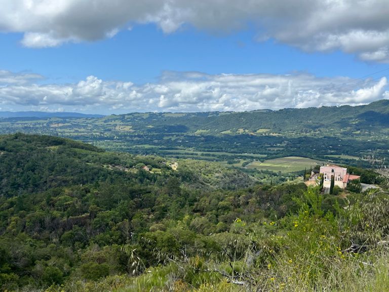
Mt Veeder-Trinity-Cavedale
Rota de Ciclismo
Salvar
Compartilhar
Incorporar
Copiar URL
Exportar TCX
Exportar GPX
Imprimir
Detalhes
57,33 mi
6.524 pés
Criado por
Andy M
7 de fevereiro de 2015
·
Público
Rota e elevação
Segmentos
Nome
Distância
Dif. de elev.
Inclinação média
Maxwell Bridge Summit West
0,34 mi
52 pés
3,0%
Old Sonoma Rd Climb
0,40 mi
190 pés
8,8%
Buhman from Congress Valley climb
0,52 mi
125 pés
4,5%
What Speed Limit?
0,88 mi
-151 pés
-3,1%
Mt Veeder - BV to Veeder Summit
6,68 mi
1.224 pés
3,5%
Redwood rd to Mt Veeder asc
2,55 mi
207 pés
1,5%
Redwood-Veeder-Trinity to Kim St Gate
13,57 mi
1.529 pés
2,1%
Redwood Road to 1800
5,13 mi
604 pés
2,2%
Mt Veeder Rd Climb
0,27 mi
49 pés
2,1%
Mt. Veeder Winery to top
1,16 mi
512 pés
8,3%
Mt Veeder Rd Climb
0,45 mi
262 pés
10,9%
Top of Veeder
2,04 mi
-118 pés
-0,7%
Veeder North Descent Top to Stop Sign
4,10 mi
-801 pés
-3,6%
Mt Veeder Descent Northbound, final two miles
2,24 mi
-689 pés
-5,7%
Trinity - Dry Creek to Wall Rd
1,34 mi
673 pés
9,3%
Trinity Grade (from Dry Creek)
2,63 mi
1.073 pés
7,7%
Upper Trinity (from Dry Creek)
1,61 mi
692 pés
8,2%
Trinity DH to Crash
0,96 mi
-377 pés
-7,4%
Trinity west downhill
2,80 mi
-1.352 pés
-9,1%
Chauvet to Bridge Kicker
0,74 mi
-69 pés
-1,2%
Cavedale 1/28/2012
5,26 mi
1.942 pés
6,9%
Cavedale Rd Part 1
2,67 mi
1.132 pés
8,0%
cavedale test
1,07 mi
499 pés
8,8%
Cavedale Rd Part 2
1,31 mi
604 pés
8,7%
Cavedale Rd Climb
0,69 mi
308 pés
8,4%
Cavedale descent to Trinity FH
2,26 mi
-417 pés
-3,5%
Trinity Descent
1,44 mi
-384 pés
-4,9%
Trinity Full Descent
2,76 mi
-1.079 pés
-7,4%
Kim St Gate -Trinity-Veeder to Browns Valley Rd
13,46 mi
-1.503 pés
-2,1%
Trinity - Wall to Dry Creek
1,34 mi
-673 pés
-9,4%
Mt. Veeder North 1st Steep Section
0,86 mi
377 pés
8,2%
Mt. Veeder North full climb
4,17 mi
791 pés
3,5%
Mt Veeder Rd Climb
0,51 mi
213 pés
8,2%
Mt Veeder North
1,89 mi
692 pés
6,9%
Mt Veeder Rd Climb
0,86 mi
259 pés
5,7%
Lokoya to Redwood Descent
4,17 mi
-984 pés
-4,4%
Upper SE Veeder Descent
1,23 mi
-564 pés
-8,7%
Top to the Sprint!
6,60 mi
-1.201 pés
-3,4%
Hairpin to Barn
0,14 mi
-20 pés
-2,6%
Redwood Road Run to the Line
1,57 mi
-141 pés
-1,2%
blackberry run
0,66 mi
89 pés
2,5%
Twin Oaks Dr. to Twin Oaks Dr.
0,46 mi
56 pés
2,3%
Buhman from Napa climb
0,47 mi
141 pés
5,6%
Buhman South Descent
0,48 mi
-121 pés
-4,7%
Old Sonoma's Final Assault
0,34 mi
72 pés
4,1%
Old Sonoma East Descent
0,38 mi
-187 pés
-9,4%
Old Sonoma rd. overpass East
0,06 mi
10 pés
2,6%
Elm Street Climb
0,26 mi
394 pés
28,8%
Maxwell Bridge Summit East
0,23 mi
39 pés
3,2%
Maxwell Bridge East
0,42 mi
-23 pés
-0,2%